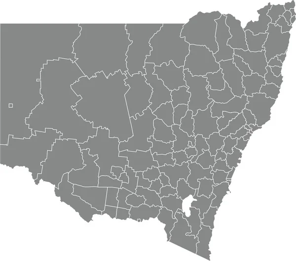
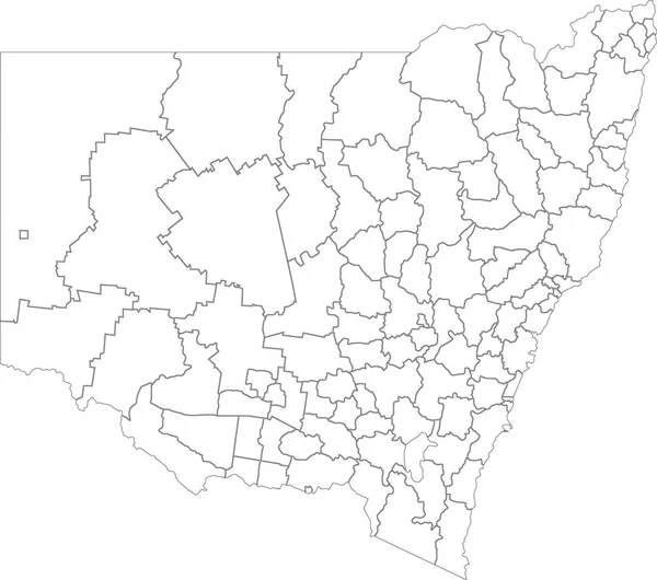
Stock vector White flat blank vector administrative map of the local government areas of Australian state of NEW SOUTH WALES, AUSTRALIA with black border lines of its areas
Published: Jan.26, 2022 19:52:14
Author: momcilo.jovanov
Views: 3
Downloads: 0
File type: vector / eps
File size: 1.48 MB
Orginal size: 5303 x 4687 px
Available sizes:
Level: bronze