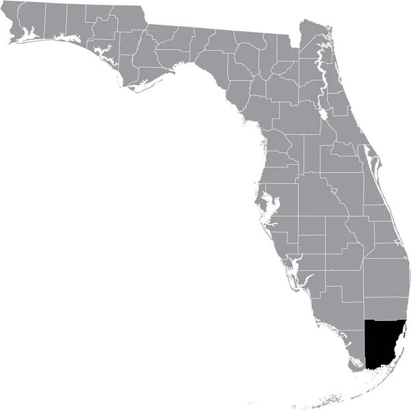
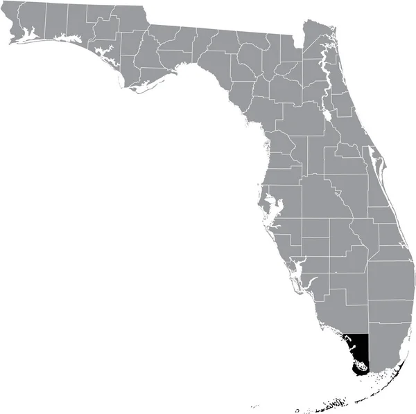
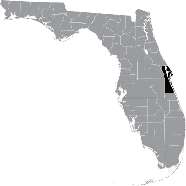
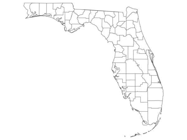
Stock vector White Outline Counties Map of US State of Florida
Published: Nov.06, 2020 11:30:07
Author: momcilo.jovanov
Views: 201
Downloads: 4
File type: vector / eps
File size: 0.62 MB
Orginal size: 4800 x 3600 px
Available sizes:
Level: bronze
Similar stock vectors

White Blank Vector Map Of The Federal State Of Florida, USA With Black Borders Of Its Counties
5003 × 4989