Home
Images
Vectors
Videos
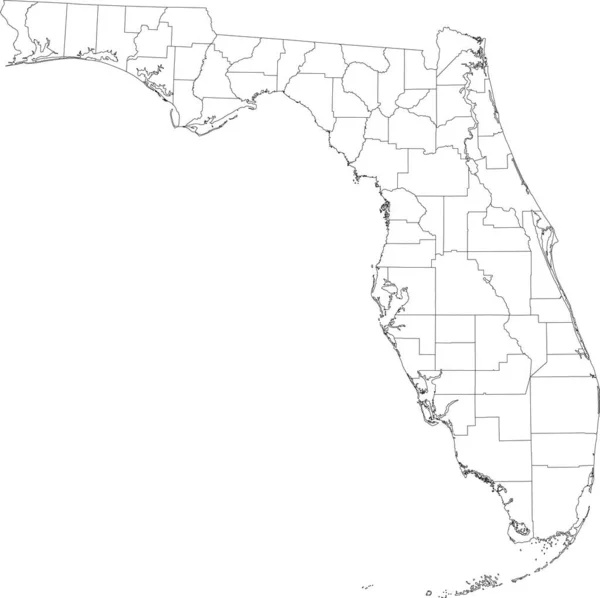
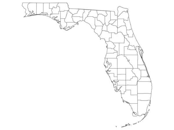
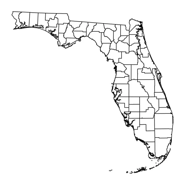
Stock vector White blank vector map of the Federal State of Florida, USA with black borders of its counties
Published:
Jun.16, 2021 10:45:32
Author:
momcilo.jovanov
Views:
5
Downloads:
0
File type:
vector
/
eps
File size:
2.5 MB
Orginal size:
5003
x
4989
px
Available sizes:
S
(500 x 499)
M
(1000 x 997)
L
(2000 x 1994)
XL
(5003 x 4989)
VECT
(5003 x 4989)
EL0
(5003 x 4989)
Level:
bronze
Download Vector
Vector topics:
Vector
Illustration
Design
Sign
Travel
Mountain
Flag
Road
Position
Symbol
Icon
City
Usa
Journey
Outline
District
Direction
Map
Cartography
National
Land
State
Topography
Unity
Region
Division
Voting
Insignia
Election
Province
Florida
Miami
Coat Of Arms
Cut Out
Travel Destinations
National Flag
No People
Physical Geography
Line Art
Washington Dc
Eastern USA
Western USA
Contour Line
Relief Carving
Relief Map
Topographic Map
Flat Design
In Silhouette
Similar stock vectors
White Outline Counties Map Of US State Of Florida
4800 × 3600
Florida State Map With Counties. Vector Illustration.
8334 × 8334
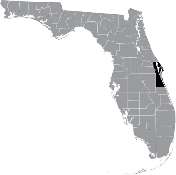
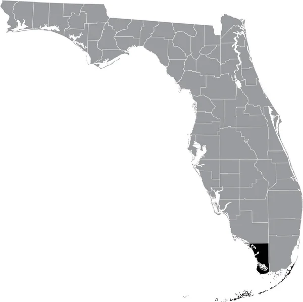
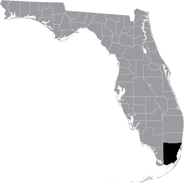
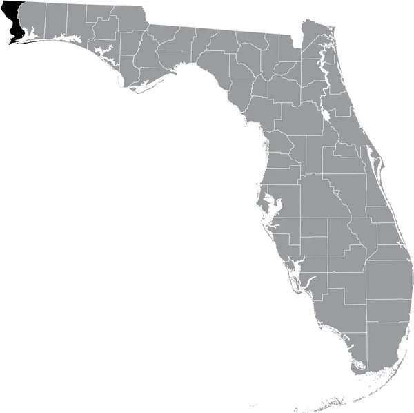
Black Highlighted Location Map Of The US Brevard County Inside Gray Map Of The Federal State Of Florida, USA
5005 × 4988
Grey Flat Election Counties Map Of The USA Federal State Of Florida
4800 × 3600
Black Highlighted Location Map Of The US Monroe County Inside Gray Map Of The Federal State Of Florida, USA
5005 × 4988
Black Highlighted Location Map Of The US Miami-Dade County Inside Gray Map Of The Federal State Of Florida, USA
5005 × 4988
Black Highlighted Location Map Of The US Escambia County Inside Gray Map Of The Federal State Of Florida, USA
5005 × 4988
Accurate Map Of Florida
5000 × 4000