photo free
Home Images Vectors Videos

Stock vector White vector administrative map of the Federal State of Rhode Island, USA with black borders and name tags of its municipalities

Stock vector White vector administrative map of the Federal State of Rhode Island, USA with black borders and name tags of its municipalities
Published: Nov.12, 2021 08:12:40
Author: momcilo.jovanov
Views: 0
Downloads: 0
File type: vector / eps
File size: 1.03 MB
Orginal size: 3967 x 6007 px
Available sizes:
S
(330 x 500)
M
(660 x 1000)
L
(1321 x 2000)
XL
(3967 x 6007)
VECT
(3967 x 6007)
EL0
(3967 x 6007)
Level: bronze
Download Vector
Vector topics:

Similar stock vectors

stock vector Pastel vector administrative map of the Federal State of Rhode Island, USA with black borders and name tags of its municipalities

Pastel Vector Administrative Map Of The Federal State Of Rhode Island, USA With Black Borders And Name Tags Of Its Municipalities

3967 × 6007
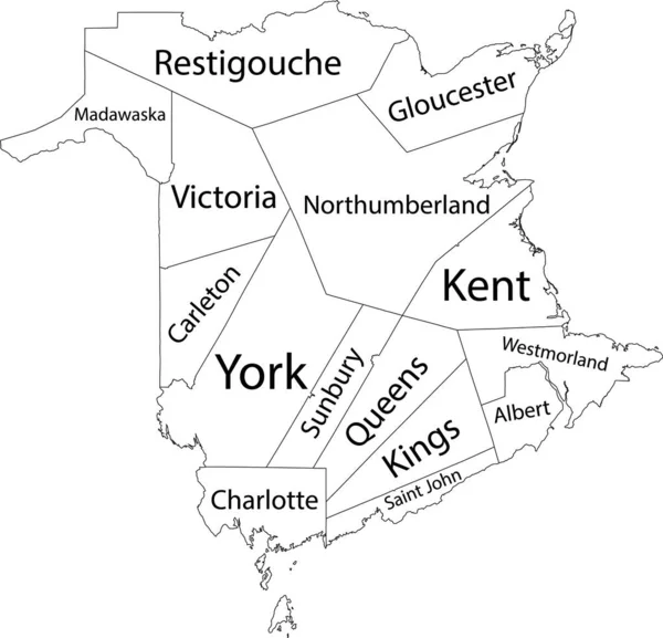
stock vector White flat vector administrative map of counties of Canadian territory of NEW BRUNSWICK, CANADA with black border lines and name tags of its counties

White Flat Vector Administrative Map Of Counties Of Canadian Territory Of NEW BRUNSWICK, CANADA With Black Border Lines And Name Tags Of Its Counties

5005 × 4812
stock vector White Outline Counties Map With Counties Names of US State of Delaware

White Outline Counties Map With Counties Names Of US State Of Delaware

3600 × 4800
stock vector White vector map of the Federal State of Delaware, USA with black borders and names of its counties

White Vector Map Of The Federal State Of Delaware, USA With Black Borders And Names Of Its Counties

3176 × 7610
stock vector Pastel flat vector administrative map of the Canadian territory of NEW BRUNSWICK, CANADA with black border lines and name tags of its counties

Pastel Flat Vector Administrative Map Of The Canadian Territory Of NEW BRUNSWICK, CANADA With Black Border Lines And Name Tags Of Its Counties

5005 × 4814
stock vector White vector map of the Federal State of Massachusetts, USA with black borders and names of its counties

White Vector Map Of The Federal State Of Massachusetts, USA With Black Borders And Names Of Its Counties

6307 × 3859
stock vector Delaware - Highly detailed editable political map with labeling.

Delaware - Highly Detailed Editable Political Map With Labeling.

2619 × 3706
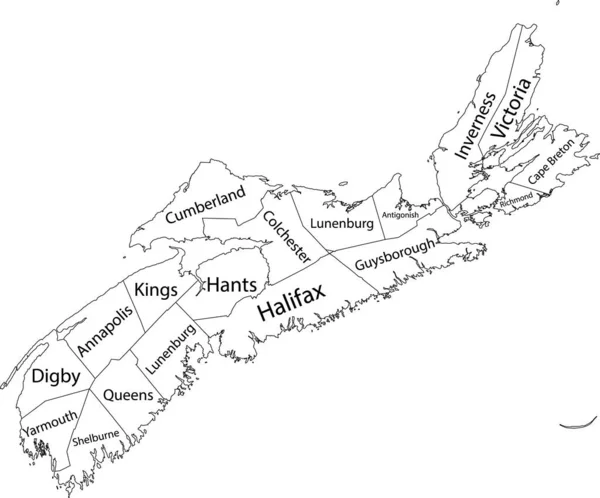
stock vector White flat vector administrative map of counties of Canadian province of NOVA SCOTIA, CANADA with black border lines and name tags of its counties

White Flat Vector Administrative Map Of Counties Of Canadian Province Of NOVA SCOTIA, CANADA With Black Border Lines And Name Tags Of Its Counties

5405 × 4489