Home
Images
Vectors
Videos
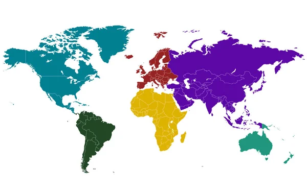
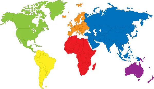
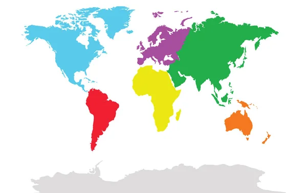
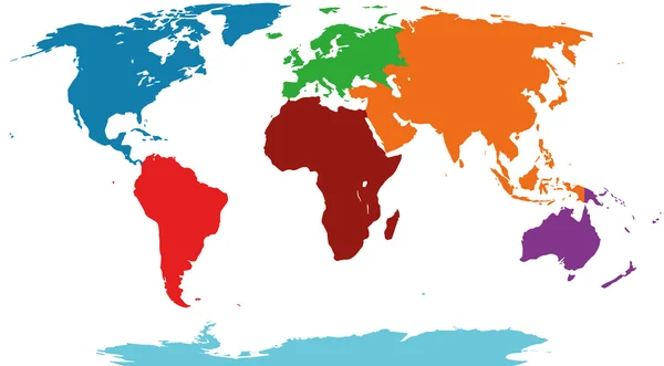
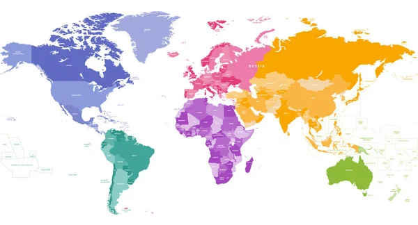
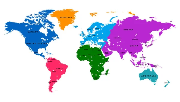
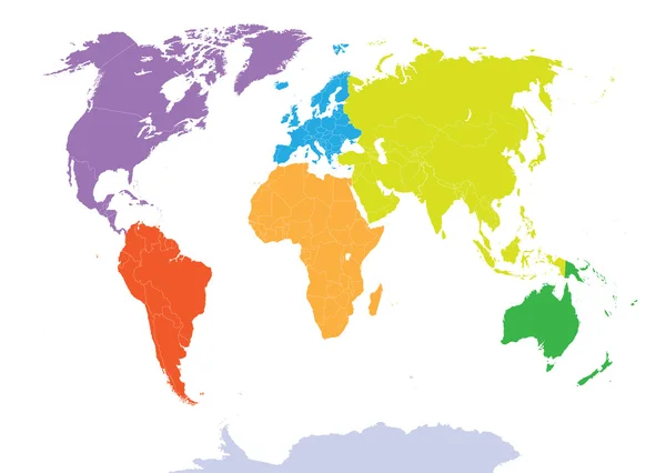
Stock vector world map colored by continents
Published:
Jul.15, 2015 14:28:44
Author:
Jktu_21
Views:
1657
Downloads:
19
File type:
vector
/
eps
File size:
12.32 MB
Orginal size:
8150
x
5791
px
Available sizes:
S
(500 x 355)
M
(1000 x 711)
L
(2000 x 1421)
XL
(8150 x 5791)
VECT
(8150 x 5791)
EL0
(8150 x 5791)
Level:
silver
Download Vector
Vector topics:
Global
Earth
World
Europe
Globalization
China
South
Country
Map
National
Africa
Germany
Mediterranean
Asia
America
Australia
Canada
Continents
Complete
Antarctica
Hemisphere
Eurasian
World Map
United Nations
European Union
North America
South America
United Kingdom
Latin America
Pacific Ocean
Western Europe
Map Of The World
Atlantic Ocean
Indian Ocean
United States Map
Countries Of The World
Arctic Ocean
Europe Map
Argentina Map
Japan Map
Asia Map
Africa Map
America Map
Continents Map
Countries Map
Scandinavia Map
Political World Map
South America Map
Antarctica Map
North America Map
Similar stock vectors
World Map Divided Into Six Continents. Each Continent In Different Color.
5841 × 3709
World Map
7502 × 4330
Illustration Of World Map. Travel Agency Concept
8511 × 5367
Illustration Graphic Vector World Map Colored
6333 × 3500
Colorful White World Map With Countries Isolated On White Background
6000 × 3600
World Map Colored By Continents
6933 × 3743
Vector Bright Similar World Map Isolated On White Background. Colorful Red, Blue, Green Worldmap Template, Website Design Cover, Annual Reports, Infographics. Flat, Earth Graph World Map Illustration.
7001 × 3577
Vector World Map With Country And Capital
8776 × 5000