Home
Images
Vectors
Videos
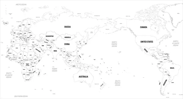
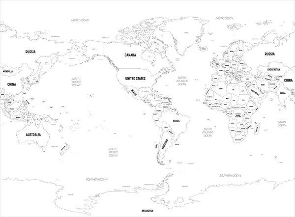
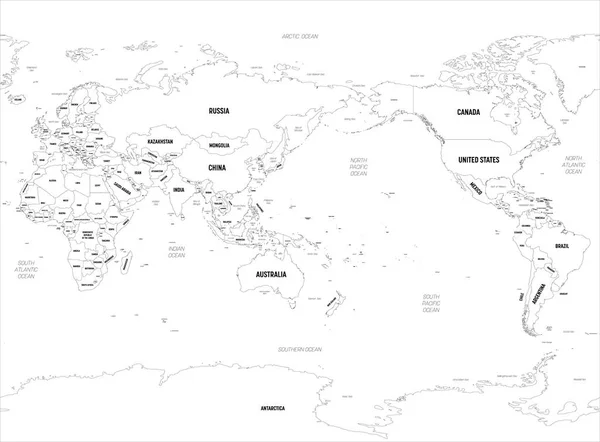
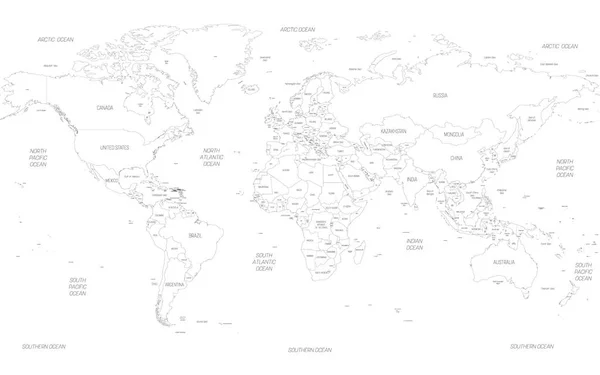
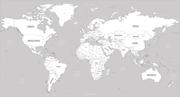
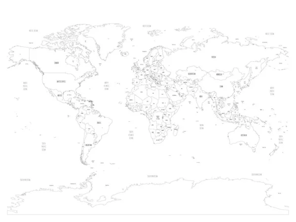
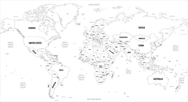
Stock vector World map. High detailed political map of World with country, capital, ocean and sea names labeling
Published:
Apr.21, 2020 09:23:03
Author:
pyty
Views:
46
Downloads:
0
File type:
vector
/
eps
File size:
12.6 MB
Orginal size:
6000
x
3250
px
Available sizes:
S
(500 x 271)
M
(1000 x 542)
L
(2000 x 1083)
XL
(6000 x 3250)
VECT
(6000 x 3250)
EL0
(6000 x 3250)
Level:
silver
Download Vector
Vector topics:
Vector
Design
Isolated
Business
Label
Travel
Detail
Water
Sea
Black
Line
Border
Concept
City
Information
World
Template
Ocean
Detailed
Capital
North
Europe
South
Name
Outline
Country
Map
Cartography
Geography
Africa
Continent
Asia
State
Thin
America
Countries
International
Australia
Political
Stroke
Oceans
Geographical
Worldmap
Labeled
Infographic
World Map
Capital City
Map Of World
Political Map
Similar stock vectors
World Map - America Centered. High Detailed Political Map Of World With Country, Capital, Ocean And Sea Names Labeling
6000 × 3250
World Map - Asia, Australia And Pacific Ocean Centered. High Detailed Political Map Of World With Country, Capital, Ocean And Sea Names Labeling
6000 × 3250
World Map - America Centered. High Detailed Political Map Of World With Country, Capital, Ocean And Sea Names Labeling
6000 × 4421
World Map - Asia, Australia And Pacific Ocean Centered. High Detailed Political Map Of World With Country, Capital, Ocean And Sea Names Labeling
6000 × 4421
Map Of World. Detailed Thin Black Outline Political Map With Country, Sea And Ocean Names. Vector Map
6000 × 3750
Map Of World. Detailed Thin Black Outline Political Map With Country Names. Vector Map
6000 × 4500
World Map - White Lands And Grey Water. High Detailed Political Map Of World With Country, Capital, Ocean And Sea Names Labeling
6000 × 3250
Political Map Of World With Capital Cities Of Countries. Handdrawn Style. Vector Illustration
6000 × 4500