Home
Images
Vectors
Videos
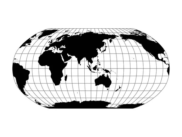
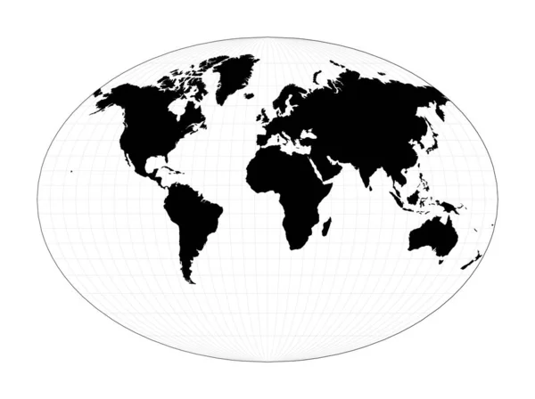
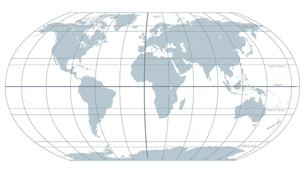
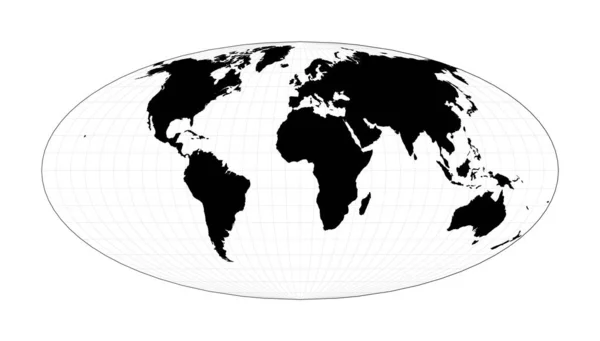
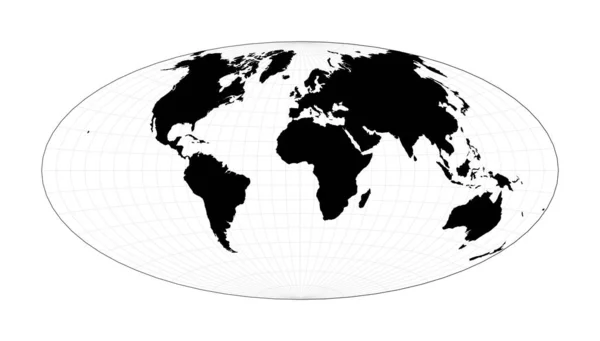
Stock vector World Map in Robinson Projection with meridians and parallels grid. Black land with black outline. Vector illustration
Published:
Oct.22, 2018 10:26:13
Author:
pyty
Views:
168
Downloads:
6
File type:
vector
/
eps
File size:
1.2 MB
Orginal size:
6000
x
4500
px
Available sizes:
S
(500 x 375)
M
(1000 x 750)
L
(2000 x 1500)
XL
(6000 x 4500)
VECT
(6000 x 4500)
EL0
(6000 x 4500)
Level:
silver
Download Vector
Vector topics:
White
Vector
Round
Background
Graphic
Illustration
Travel
Sea
Black
Center
Communication
Digital
Global
Earth
Planet
World
Ocean
Grid
North
Europe
Globe
South
Outline
Map
Cartography
Geography
Latitude
Longitude
Africa
Continent
Land
Worldwide
Asia
Continental
Topography
America
International
Australia
Parallel
Projection
Atlantic
Oceania
Atlas
Antarctica
Nation
Meridian
Graticule
Robinson
World Map
Map World
Similar stock vectors
World Map In Robinson Projection With Meridians And Parallels Grid. Americas Centered. Black Land With Black Outline. Vector Illustration
6000 × 4500
World Map Silhouette
2589 × 1549
World Map With Graticule Lines Chamberlin Projection For Africa Projection Plan World Geographical
5471 × 5506
World Map In Robinson Projection With Meridians And Parallels Grid. Asia And Australia Centered. Black Land With Black Outline. Vector Illustration
6000 × 4500
World Shape Fahey Pseudocylindrical Projection Plan World Geographical Map With Graticlue Lines
6360 × 4754
The World With Most Important Circles Of Latitudes And Longitudes, Gray Political Map. Equator, Greenwich Meridian, Arctic And Antarctic Circle, Tropic Of Cancer And Capricorn. Illustration. Vector.
9000 × 5115
EPS10 Vector World Map. Equal-area, Pseudocylindrical Mollweide Projection. Plan World Geographical Map With Graticlue Lines. Vector Illustration.
7272 × 4140
Abstract Map Of World Aitoff Projection Plan World Geographical Map With Graticlue Lines Vector
7267 × 4137