Home
Images
Vectors
Videos
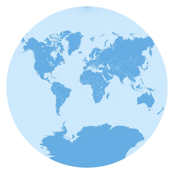
Stock vector World map in Sphere Van der Grinten I projection (EPSG:53029). Detailed vector Earth map with countries borders and 5-degree grid.
Published:
May.26, 2020 12:18:14
Author:
antonshahrai
Views:
4
Downloads:
0
File type:
vector
/
eps
File size:
15.24 MB
Orginal size:
11459
x
11459
px
Available sizes:
S
(500 x 500)
M
(1000 x 1000)
L
(2000 x 2000)
XL
(11459 x 11459)
VECT
(11459 x 11459)
EL0
(11459 x 11459)
Level:
beginner
Download Vector
Vector topics:
Sphere
Blue
Vector
Graphic
Illustration
Isolated
Business
Travel
Abstract
Silhouette
Border
Global
Monochrome
Education
Earth
Planet
World
Ocean
Grid
Science
Detailed
North
Europe
Globe
South
Map
Cartography
Geography
Latitude
Plan
Longitude
Africa
Continent
Asia
America
Countries
Australia
Scheme
Projection
Geographic
Atlas
Meridian
Graticule
Van Der Grinten
Similar stock vectors
World Map Color Isolated Vector Icon That Can Be Easily Modified Or Edit
5000 × 5262
World Map Vector On White Background
5833 × 4167
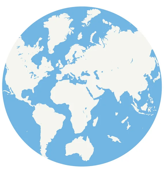
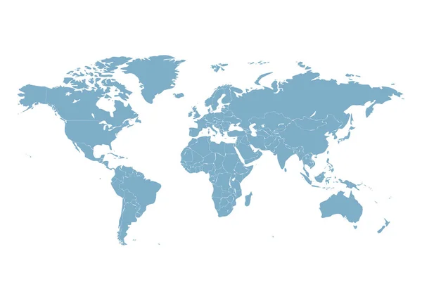
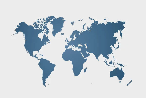
Image Of A Blue Vector World Map Isolated On White Background. Vector Illustration. EPS 10.
5000 × 3375
Blue Map
7275 × 4850
Simplified Map Of World In Blue. Schematic Vector Illustration.
6000 × 4000
World Map. Earth Continents Illustration Isolated On White Background. Education Symbol.
5120 × 3840
Blue Similar World Map. World Map Blank. World Map Vector. World Map Flat. World Map Template. World Map Object. World Map Paper. World Map Infographic. World Map Clean. World Map Art. World Map Card
6250 × 4301