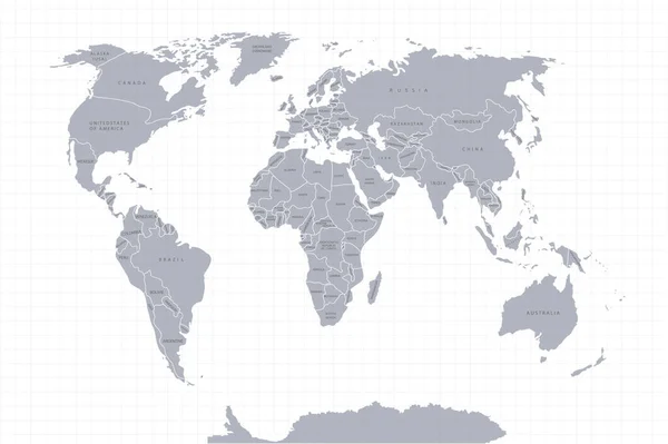
Stock vector World map paper. Political map of the world on a gray background. Countries. Vector illustration. White.
Published: Jun.25, 2020 07:41:02
Author: lulechkay
Views: 58
Downloads: 1
File type: vector / eps
File size: 4.13 MB
Orginal size: 3132 x 2085 px
Available sizes:
Level: beginner
Similar stock vectors
World Map Paper. Political Map Of The World On A Gray Background. Countries. Vector Illustration. White.
3132 × 2085

World Map Paper. Political Map Of The World On A Gray Background. Countries. Vector Illustration. White.
3125 × 2083