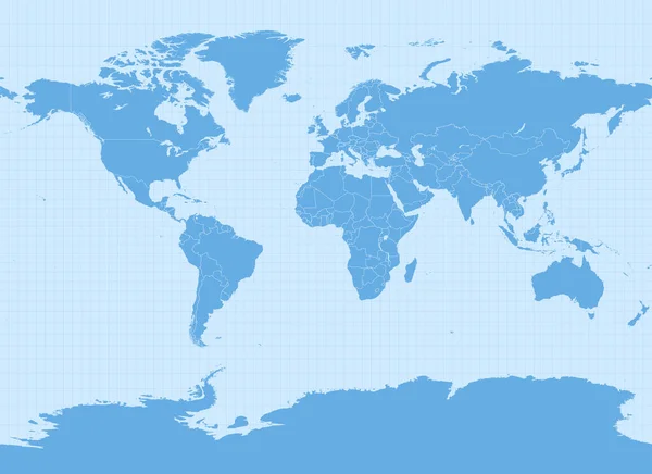
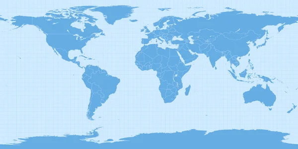
Stock vector World map in Web Mercator projection (WGS 84 / Pseudo-Mercator, Spherical Mercator projection, EPSG:3857). Detailed vector Earth map with countries borders and 5-degree grid.

Published: May.26, 2020 12:18:14
Author: antonshahrai
Views: 21
Downloads: 0
File type: vector / eps
File size: 14.47 MB
Orginal size: 11459 x 11417 px
Available sizes:
Level: beginner
Similar stock vectors
World Map In Miller Cylindrical Projection (EPSG:54003). Detailed Vector Earth Map With Countries Borders And 5-degree Grid.
13751 × 10001
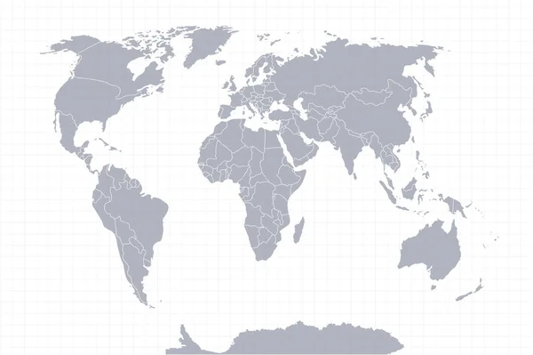
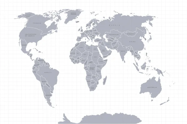
World Map Paper. Political Map Of The World On A Gray Background. Countries. Vector Illustration. White.
3132 × 2085