
Stock image CATASTRO


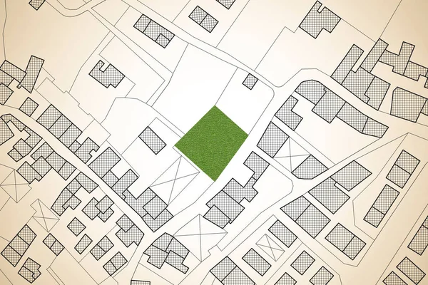
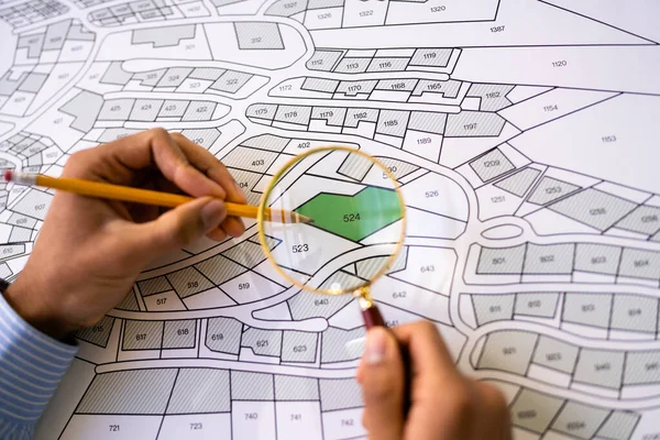
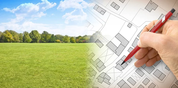
Imaginary Cadastral Map Of Territory With A Free Green Land Available For Building Construction. Concept Image
Image, 7.69MB, 4752 × 3168 jpg


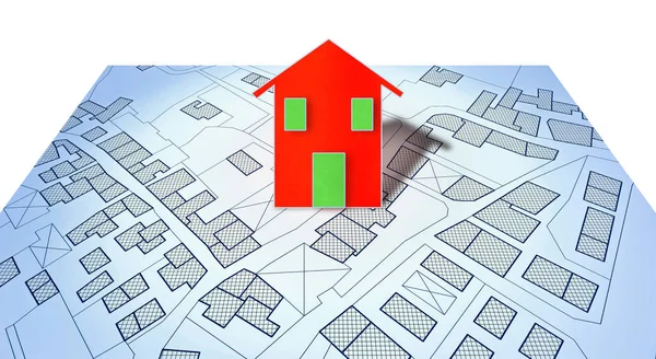
New Home And Free Vacant Land For Building Activity - Construction Industry And Building Permit Concept With A Residential Area, Cadastral Map, General Urban Planning And Zoning Regulations
Image, 17.41MB, 7872 × 3168 jpg


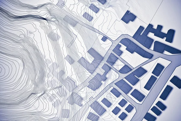
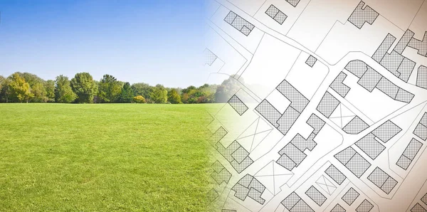
Imaginary Topographic Cadastral Map And Land Parcels Of Territory With Trees On Background And Buildable Vacant Land For Sale - Concept Image.
Image, 26.42MB, 6349 × 3168 jpg

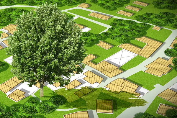
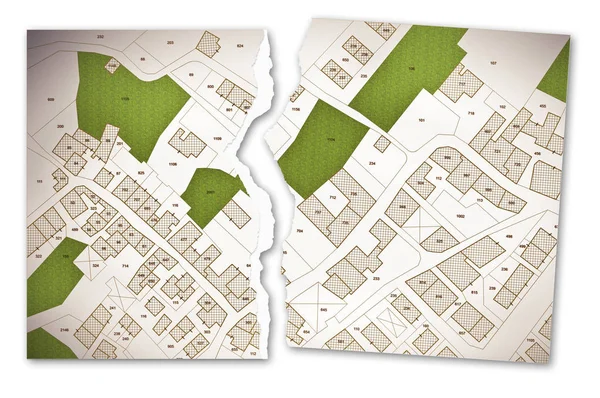
Imaginary Cadastral Map With Lone Tree On A Green Area Of A Public Park - Concept Image With Copy Space
Image, 18.9MB, 4752 × 3168 jpg
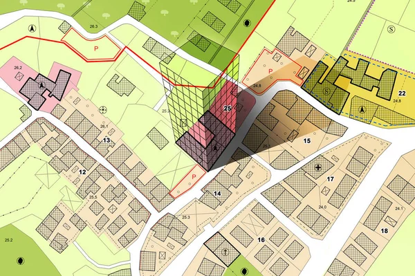
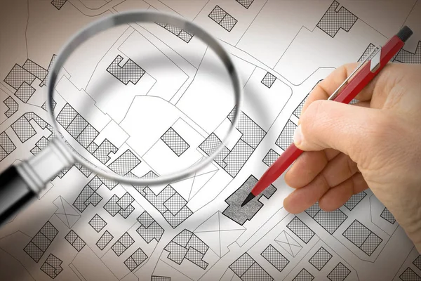
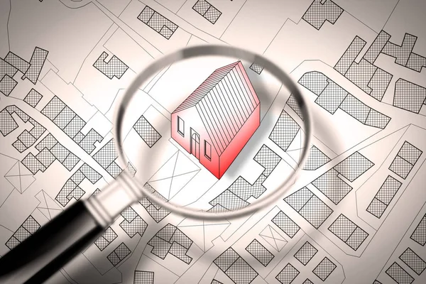
Imaginary Cadastral Map Of Territory With Building In The Center - Land Registry Concept Illustration - Note: The Map Background Is Totally Invented And Does Not Represent Any Real Place.
Image, 8.49MB, 5284 × 3520 jpg


Planning A New City - Concept Image With Hand Drawing An Imaginary Cadastral Map Of Territory With Buildings, Fields And Roads Against A Green Area
Image, 15.94MB, 6336 × 3156 jpg

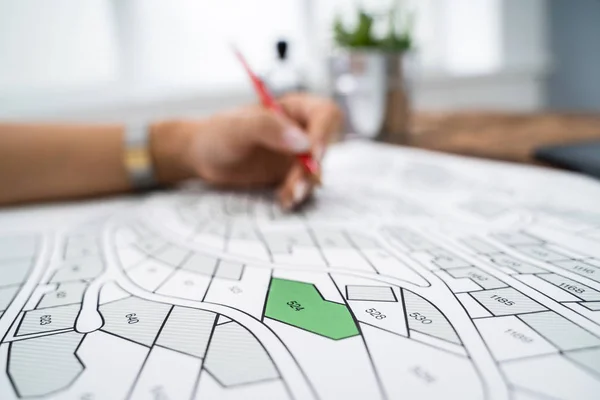
Updating Public Cadastral Digital Databases And Information About Land Registry - Concept Image With An Imaginary Cadastral Map Of Territory With Buildings, Roads And Land Parcel - Note: The Map Background Is Totally Invented And Does Not Represent A
Image, 30.91MB, 11261 × 7372 jpg

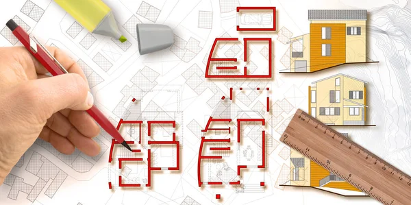
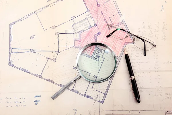
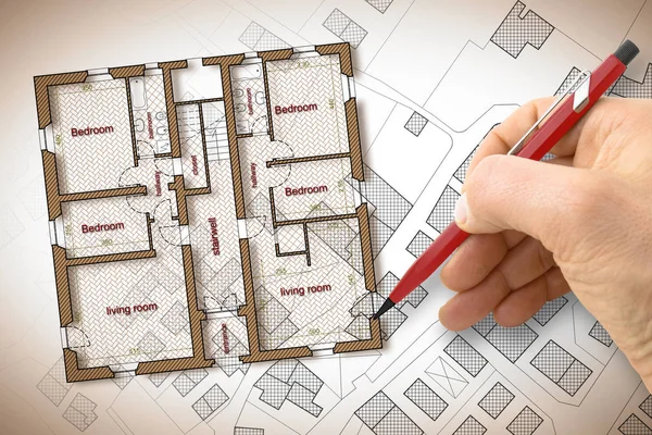
Architect Designs A New Residential Building With Floor Plans And Elevations Over An Imaginary City Map - Concept Image.
Image, 10.3MB, 6341 × 3168 jpg


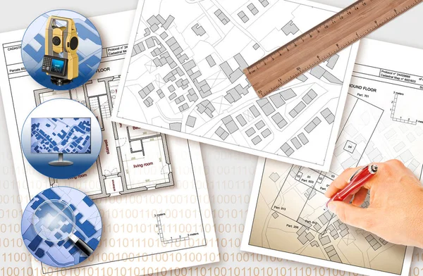
Close-up Of A Businessperson Analyzing Cadastre Map On Computer In The Office
Image, 15.45MB, 7564 × 5044 jpg

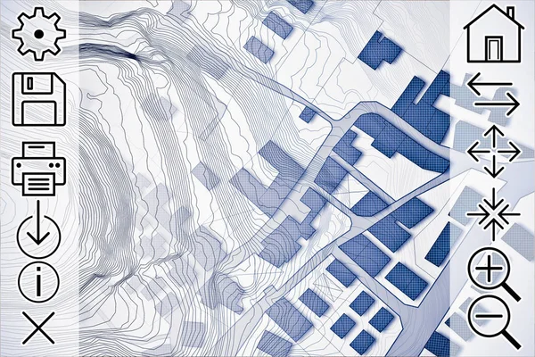
Online Consultation Of Cadastral Maps And Territorial Information - Concept Image With An Imaginary Cadastral Map Of Territory With Buildings, Roads And Web Navigation Icon
Image, 12.67MB, 4752 × 3168 jpg
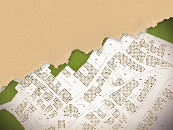
Imaginary Cadastral Map Of Territory With Buildings, Roads And Land Parcel With Copy Space For Text Insertion Over A Cardboard Background.
Image, 19.39MB, 5286 × 3989 jpg

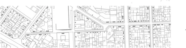
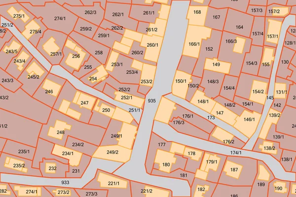
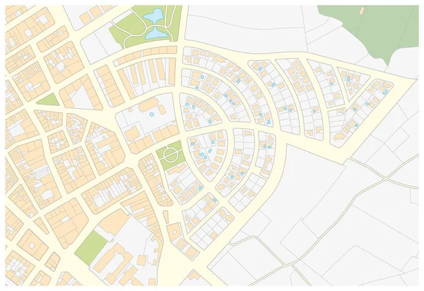
Imaginary Cadastre Map Of Territory With Buildings Streets And House Numbers
Vector, 0MB, 6920 × 1816 zip

Planning A New City - Concept Image With Hand Drawing An Imaginary Cadastral Map Of Territory With Buildings, Fields And Roads Against A Green Area
Image, 14.9MB, 6336 × 3156 jpg


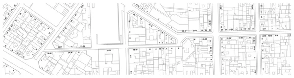
Imaginary Cadastral Map Of Territory With Buildings And Roads - Concept Image
Image, 6.74MB, 4686 × 3124 jpg

Page 1 >> Next