Home
Images
Vectors
Videos
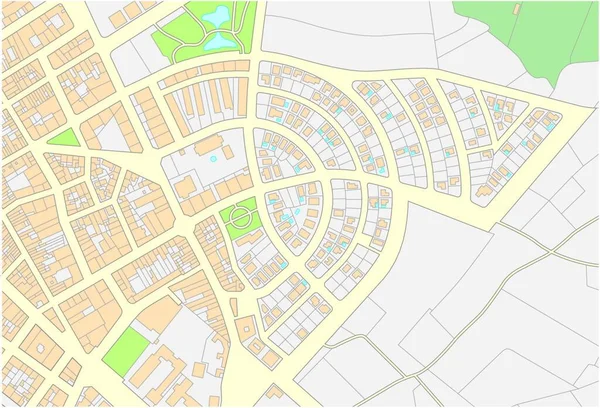
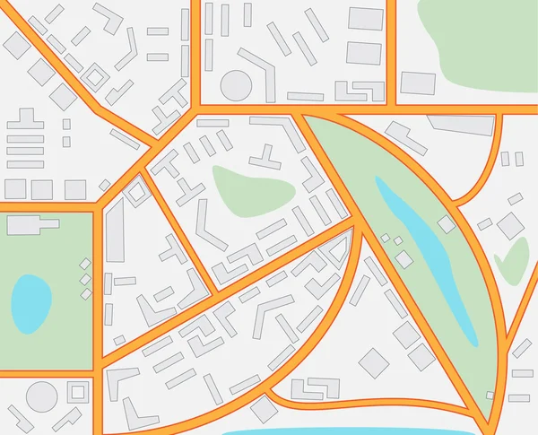
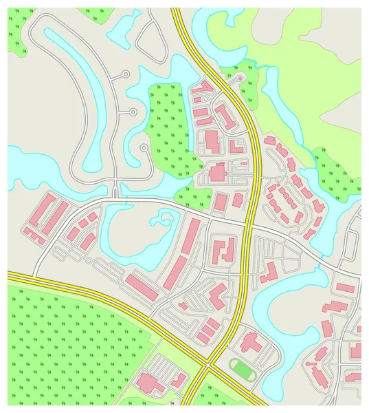
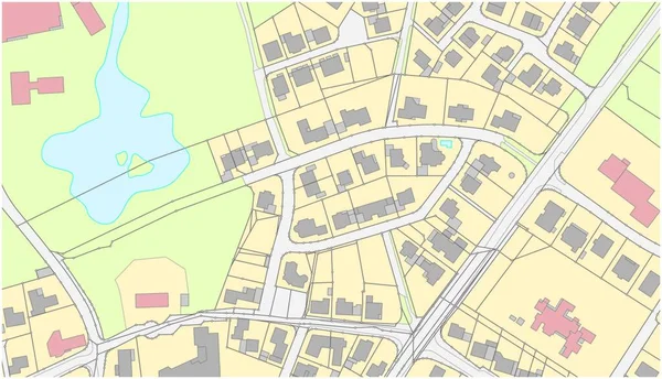
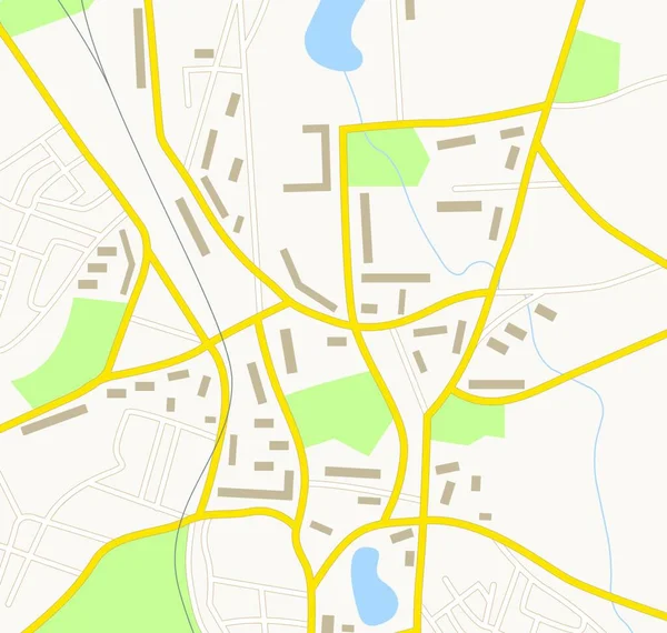
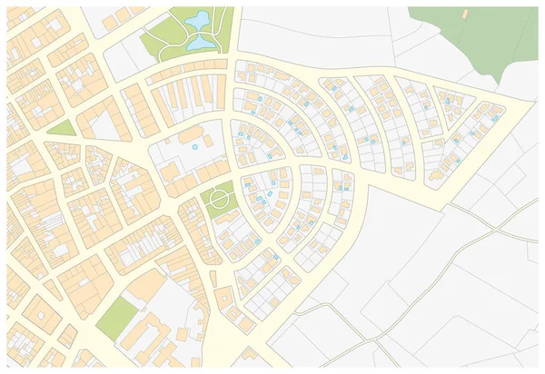
Stock vector Imaginary cadastral map of an area with buildings and streets
Published:
Dec.27, 2018 09:28:26
Author:
Lesniewski
Views:
117
Downloads:
13
File type:
vector
/
eps
File size:
0.69 MB
Orginal size:
4503
x
3100
px
Available sizes:
S
(500 x 344)
M
(1000 x 688)
L
(2000 x 1377)
XL
(4503 x 3100)
VECT
(4503 x 3100)
EL0
(4503 x 3100)
Level:
bronze
Download Vector
Vector topics:
Green
Image
Vector
Background
View
Graphic
Illustration
Design
Parcel
Road
Traffic
Concept
Building
Center
City
Urban
Draw
Measure
Measurement
Drawing
Street
Town
Palace
Navigation
Outline
District
Map
Cartography
Geography
Plan
Land
Residential
Chart
Topography
Imaginary
Crossroad
Survey
Territory
Registry
Register
Plat
Cartographic
Cadastre
Cadastral
Similar stock vectors
Imaginary Cadastral Map Of An Area With Buildings And Streets.
4000 × 3832
Imaginary Cadastre Map Of Territory With Buildings And Roads
8652 × 9881
Imaginary Cadastre Map Of Territory With Buildings And Roads
3707 × 4000
Imaginary City Map
4940 × 4000
Abstract Detailed Colored Topographic Contour Map Background
3943 × 4000
Imaginary Cadastral Map Of An Area With Buildings And Streets
4000 × 3694
Navigation Map With Buildings Forest Roads And Lakes
4000 × 3976
Imaginary Cadastral Map Of An Area With Buildings And Streets
5360 × 3100