photo free
Home Images Vectors Videos

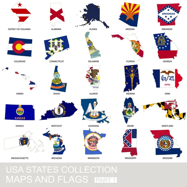
Stock image Columbia Maps

stock vector set of US states

Set Of US States

Vector, 1.82MB, 5000 × 5000 eps
stock vector Outline maps of American countries collection, black lined vector map.

Outline Maps Of American Countries Collection, Black Lined Vector Map.

Vector, 3.22MB, 6667 × 5000 eps
stock vector Colombia map grunge mosaic

Colombia Map Grunge Mosaic

Vector, 1.35MB, 4000 × 5485 eps
stock vector Map of States of the United States where Federal District of Columbia, Washington, D.C. is pulled out

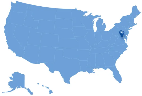
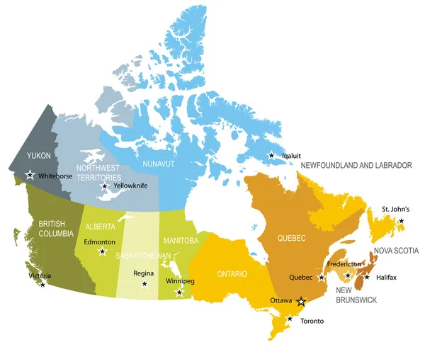
Map Of States Of The United States Where Federal District Of Columbia, Washington, D.C. Is Pulled Out

Vector, 1.5MB, 5666 × 3849 eps
stock vector red map of canada vector illustration isolated on white background

Red Map Of Canada Vector Illustration Isolated On White Background

Vector, 5.33MB, 5000 × 5000 eps
stock image District of Columbia map

District Of Columbia Map

Image, 0.85MB, 4300 × 2800 jpg
stock vector set of US states

Set Of US States

Vector, 1.83MB, 5000 × 5000 eps
stock image Canada map with flag

Canada Map With Flag

Image, 2.98MB, 4752 × 3168 jpg
stock image State of South Carolina map

State Of South Carolina Map

Image, 1.21MB, 4300 × 2800 jpg
stock image Low Poly Canada Map with National Flag

Low Poly Canada Map With National Flag

Image, 2.11MB, 7000 × 7000 jpg
stock vector USA state collection, maps and flags

USA State Collection, Maps And Flags

Vector, 8.37MB, 5000 × 5000 eps
stock image Vinnitsa, Ukraine - June 25 , 2017:Washington map closeup

Vinnitsa, Ukraine - June 25 , 2017:Washington Map Closeup

Image, 17.09MB, 5472 × 3648 jpg
stock image Vinnitsa, Ukraine - June 25 , 2017:Washington map closeup

Vinnitsa, Ukraine - June 25 , 2017:Washington Map Closeup

Image, 18.69MB, 5472 × 3648 jpg
stock vector south carolina state map

South Carolina State Map

Vector, 7.04MB, 2480 × 2480 eps
stock image Vinnitsa, Ukraine - June 25 , 2017:Washington map closeup

Vinnitsa, Ukraine - June 25 , 2017:Washington Map Closeup

Image, 19.45MB, 5097 × 3398 jpg
stock vector Map of provinces and territories of Canada

Map Of Provinces And Territories Of Canada

Vector, 1.59MB, 5500 × 4500 eps
stock vector set of US states maps

Set Of US States Maps

Vector, 1.83MB, 5000 × 5000 eps
stock vector Map District of Columbia

Map District Of Columbia

Vector, 0.66MB, 5000 × 5000 eps
stock vector Low Poly Canada Map with National Colors

Low Poly Canada Map With National Colors

Vector, 2.34MB, 5208 × 5208 eps
stock vector Label  sticker cards of District of Columbia USA

Label Sticker Cards Of District Of Columbia USA

Vector, 0.5MB, 4000 × 4000 eps
stock vector Map of Washington in District of Columbia in grayscale. Contains layered vector with roads water, parks, etc.

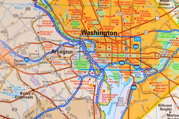
Map Of Washington In District Of Columbia In Grayscale. Contains Layered Vector With Roads Water, Parks, Etc.

Vector, 26.02MB, 2400 × 2400 eps
stock image Map of columbia County in Georgia state on white background. single County map highlighted by black colour on Georgia map. UNITED STATES, US

Map Of Columbia County In Georgia State On White Background. Single County Map Highlighted By Black Colour On Georgia Map. UNITED STATES, US

Image, 6.56MB, 8000 × 8000 jpg
stock vector Map of Washington in District of Columbia in blue. Contains layered vector with roads water, parks, etc.

Map Of Washington In District Of Columbia In Blue. Contains Layered Vector With Roads Water, Parks, Etc.

Vector, 18.69MB, 2400 × 2400 eps
stock vector Road map of Washington in District of Columbia. Contains layered vector with roads water, parks, etc.

Road Map Of Washington In District Of Columbia. Contains Layered Vector With Roads Water, Parks, Etc.

Vector, 26.2MB, 2400 × 2400 eps
Page 1 >> Next