photo free
Home Images Vectors Videos

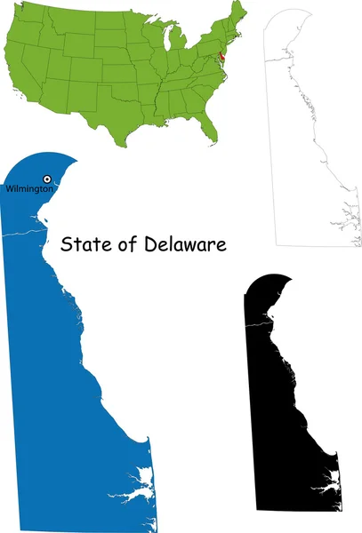
Stock image Delaware Boundary Map

stock vector Delaware outline map set

Delaware Outline Map Set

Vector, 0.15MB, 3439 × 4925 eps
stock vector dalaware

Dalaware

Vector, 2.73MB, 4000 × 5000 eps
stock vector Set of vector polygonal Delaware maps.

Set Of Vector Polygonal Delaware Maps.

Vector, 0.52MB, 8333 × 8333 eps
stock image 3d Render of the United States Highlighting Delaware

3d Render Of The United States Highlighting Delaware

Image, 2.16MB, 5565 × 4300 jpg
stock vector Delaware counties vector map with USA map colors national flag

Delaware Counties Vector Map With USA Map Colors National Flag

Vector, 22.38MB, 4680 × 4023 eps
stock vector U.S. states - map of New Jersey. Hand made. Rivers and lakes are shown. Please look at my other images of cartographic series - they are all very detailed and carefully drawn by hand WITH RIVERS AND LAKES.

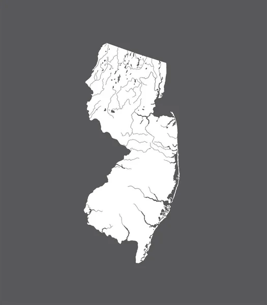
U.S. States - Map Of New Jersey. Hand Made. Rivers And Lakes Are Shown. Please Look At My Other Images Of Cartographic Series - They Are All Very Detailed And Carefully Drawn By Hand WITH RIVERS AND LAKES.

Vector, 1.1MB, 6565 × 7502 eps
stock vector U.S. states - map of Delaware. Hand made. Rivers and lakes are shown. Please look at my other images of cartographic series - they are all very detailed and carefully drawn by hand WITH RIVERS AND LAKES.

U.S. States - Map Of Delaware. Hand Made. Rivers And Lakes Are Shown. Please Look At My Other Images Of Cartographic Series - They Are All Very Detailed And Carefully Drawn By Hand WITH RIVERS AND LAKES.

Vector, 2.62MB, 7070 × 7070 eps
stock vector road map of the US American State of new jersey

Road Map Of The US American State Of New Jersey

Vector, 1.63MB, 3100 × 4427 eps
stock image Delaware (USA) outline map with shadow

Delaware (USA) Outline Map With Shadow

Image, 0.56MB, 3192 × 4943 jpg
stock image Delaware (USA) map

Delaware (USA) Map

Image, 1.53MB, 3192 × 4943 jpg
stock vector Delaware map

Delaware Map

Vector, 4.57MB, 3738 × 5502 eps
stock image Delaware Red Abstract 3D State Map United States America

Delaware Red Abstract 3D State Map United States America

Image, 2.26MB, 3774 × 3606 jpg
stock vector Delaware Logo Map of Delaware with us state name and flag Amazing vector illustration

Delaware Logo Map Of Delaware With Us State Name And Flag Amazing Vector Illustration

Vector, 0.24MB, 4925 × 6104 eps
stock vector Delaware DE State Border USA Map Solid

Delaware DE State Border USA Map Solid

Vector, 5.41MB, 8334 × 8334 eps
stock vector The gray map of Delaware State counties isolated on white background

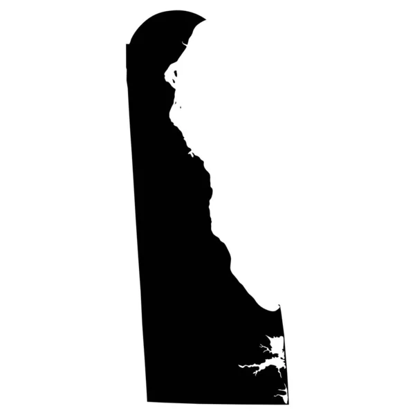
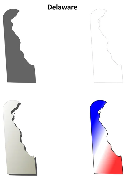
The Gray Map Of Delaware State Counties Isolated On White Background

Vector, 8.08MB, 3504 × 5004 eps
stock vector New Jersey, U.S. state, political map with borders and county names. State in the Mid-Atlantic and Northeastern region of the United States, subdivided into 21 counties, nicknamed The Garden State.

New Jersey, U.S. State, Political Map With Borders And County Names. State In The Mid-Atlantic And Northeastern Region Of The United States, Subdivided Into 21 Counties, Nicknamed The Garden State.

Vector, 3.21MB, 5195 × 9000 eps
stock vector South, census region of the United States of America, gray political map of census region 3, consisting of 13 single states and the District of Columbia. Map with geographical borders and capitals.

South, Census Region Of The United States Of America, Gray Political Map Of Census Region 3, Consisting Of 13 Single States And The District Of Columbia. Map With Geographical Borders And Capitals.

Vector, 2.45MB, 8955 × 6000 eps
stock vector Ohio, U.S. state, subdivided into 88 counties, multi colored political map with capital Columbus, borders and county names. State in the Midwestern region of USA. Buckeye State, and Heart Of It All.

Ohio, U.S. State, Subdivided Into 88 Counties, Multi Colored Political Map With Capital Columbus, Borders And County Names. State In The Midwestern Region Of USA. Buckeye State, And Heart Of It All.

Vector, 2.3MB, 6000 × 6525 eps
stock vector Delaware state blank outline map

Delaware State Blank Outline Map

Vector, 0.39MB, 4000 × 4800 eps
stock vector Delaware, U.S. state, multi colored political map with capital Dover. State in the Mid-Atlantic and Northeastern region of the United States, subdivided into the counties New Castle, Kent, and Sussex.

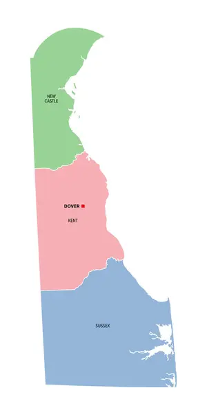
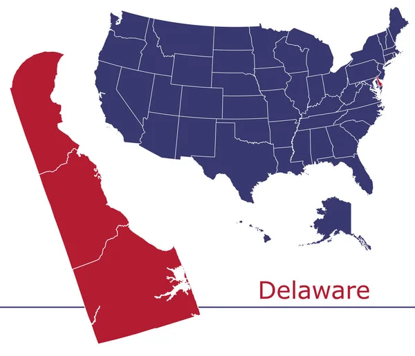
Delaware, U.S. State, Multi Colored Political Map With Capital Dover. State In The Mid-Atlantic And Northeastern Region Of The United States, Subdivided Into The Counties New Castle, Kent, And Sussex.

Vector, 1.31MB, 4500 × 9000 eps
stock vector New Jersey, U.S. state, gray political map with borders and county names. State in the Mid-Atlantic and Northeastern region of the United States, subdivided into 21 counties, nicknamed Garden State.

New Jersey, U.S. State, Gray Political Map With Borders And County Names. State In The Mid-Atlantic And Northeastern Region Of The United States, Subdivided Into 21 Counties, Nicknamed Garden State.

Vector, 2.02MB, 5220 × 9000 eps
stock vector Vector poster background of the US state of Delaware, with name, map, state flag, borders, nickname, order number and date of admission to the Union, capital, area. Illustration 8 of a series of 50.

Vector Poster Background Of The US State Of Delaware, With Name, Map, State Flag, Borders, Nickname, Order Number And Date Of Admission To The Union, Capital, Area. Illustration 8 Of A Series Of 50.

Vector, 7.29MB, 6080 × 3784 eps
stock image Map of Delaware County in Ohio state on white background. single County map highlighted by black colour on Ohio map. UNITED STATES, US

Map Of Delaware County In Ohio State On White Background. Single County Map Highlighted By Black Colour On Ohio Map. UNITED STATES, US

Image, 5.59MB, 8000 × 8000 jpg
stock vector South, U.S. census region, colored political map. Census region 3 of United States, consisting of 16 single states and District of Columbia. Colored silhouettes of States with borders and capitals.

South, U.S. Census Region, Colored Political Map. Census Region 3 Of United States, Consisting Of 16 Single States And District Of Columbia. Colored Silhouettes Of States With Borders And Capitals.

Vector, 2.46MB, 8955 × 6000 eps
stock vector Delaware, U.S. state, gray political map with borders and county names. State in the Mid-Atlantic and Northeastern region of the USA, subdivided into the three counties New Castle, Kent, and Sussex.

Delaware, U.S. State, Gray Political Map With Borders And County Names. State In The Mid-Atlantic And Northeastern Region Of The USA, Subdivided Into The Three Counties New Castle, Kent, And Sussex.

Vector, 1.3MB, 4500 × 9000 eps
stock vector Delaware, U.S. state, political map with borders and county names. State in the Mid-Atlantic and Northeastern region of the USA, subdivided into 3 counties, nicknamed First State, Small Wonder, etc.

Delaware, U.S. State, Political Map With Borders And County Names. State In The Mid-Atlantic And Northeastern Region Of The USA, Subdivided Into 3 Counties, Nicknamed First State, Small Wonder, Etc.

Vector, 3.86MB, 6000 × 8219 eps
Page 1 >> Next