
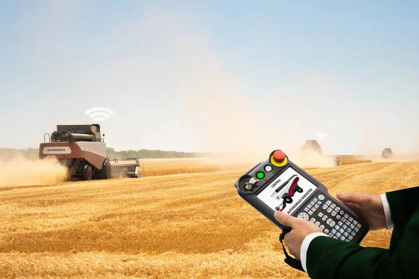
Stock image Field Controller
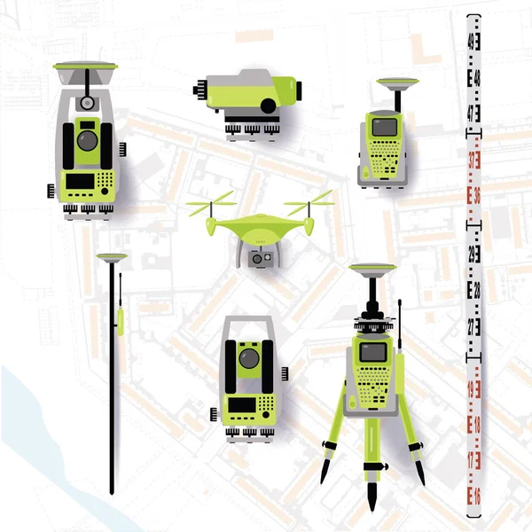
Geodetic Equipment Vector Illustration. Measuring Instruments In Flat Design. Theodolite, Tacheometer, Total Station, Drone, Level, Map Sketch Isolated On World Map Background.
Vector, 2.57MB, 5000 × 5000 eps
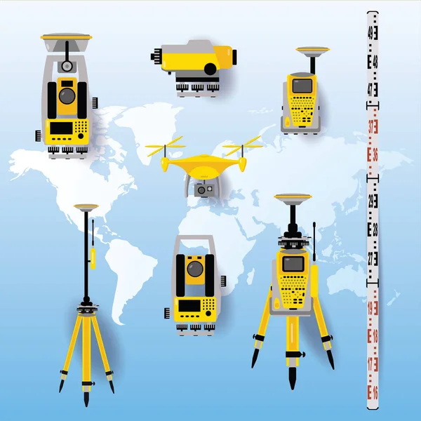
Geodetic Equipment Vector Illustration. Measuring Instruments In Flat Design. Theodolite, Tacheometer, Total Station, Drone, Level, Map Sketch Isolated On World Map Blue Background.
Vector, 17.04MB, 5001 × 5001 eps
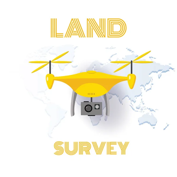
Geodetic Measuring Equipment, Drone, Engineering Technology For Land Survey And Geodesy Banner
Vector, 0.99MB, 5000 × 5000 eps
Geology Icon In Filled, Thin Line, Outline And Stroke Style. Vector Illustration Of Two Colored And Black Geology Vector Icons Designs Can Be Used For Mobile, Ui, Web
Vector, 0.62MB, 19444 × 4167 eps
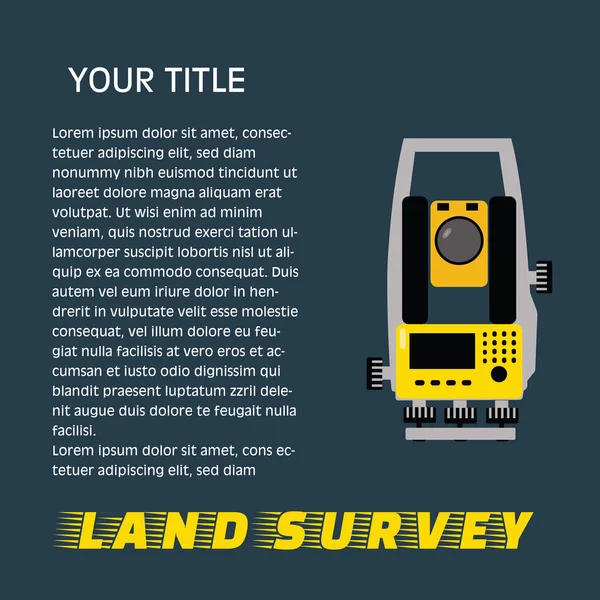
Geodetic Measuring Equipment, Engineering Technology For Land Survey Banner On Dark Background.Isolate Icon Of Theodolit
Vector, 0.93MB, 5001 × 5001 eps
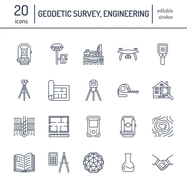
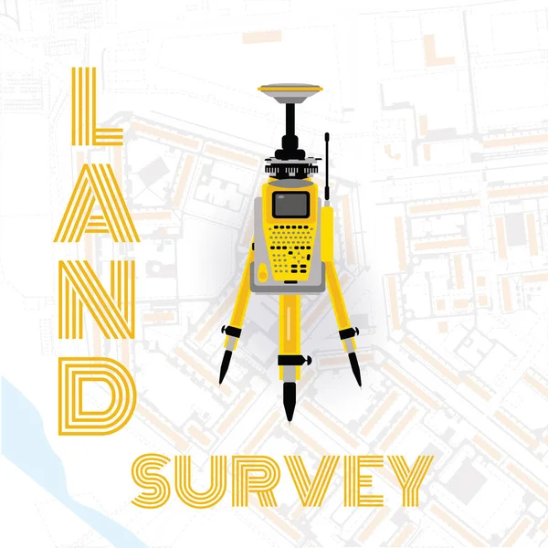
Geodetic Measuring Equipment, Engineering Technology For Land Survey
Vector, 2.66MB, 5001 × 5001 eps

Geodetic Survey Engineering Vector Flat Glyph Icons. Geodesy Equipment, Tacheometer, Theodolite. Geological Research, Building Measurements. Construction Signs. Solid Silhouette Pixel Perfect 64x64.
Vector, 0.62MB, 2400 × 2400 eps
Geodetic Survey Engineering Vector Flat Line Icons. Geodesy Equipment, Tacheometer, Theodolite, Tripod. Geological Research, Building Measurement Inspection Illustration. Construction Service Signs.
Vector, 0.49MB, 4167 × 4167 eps
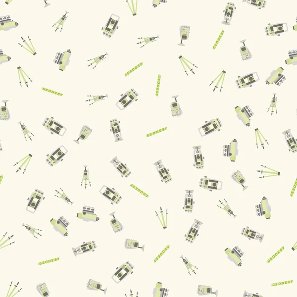
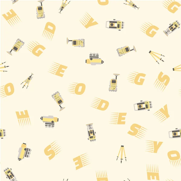
Geodetic Measuring Equipment, Engineering Technology For Land Survey Pattern
Vector, 8.48MB, 5001 × 5001 eps
Geodetics Engineering Technology And Equipment. Vector Line Art Illustration On City Map Background
Vector, 7.54MB, 5001 × 5001 eps

Geodetic Survey Engineering Vector Flat Glyph Icons. Geodesy Equipment, Tacheometer, Theodolite. Geological Research, Building Measurements. Construction Signs. Solid Silhouette Pixel Perfect 64x64.
Vector, 0.37MB, 2417 × 2417 eps

Geodetic Survey Engineering Vector Flat Line Icons. Geodesy Equipment, Tacheometer, Theodolite, Tripod. Geological Research, Building Measurement Inspection Illustration. Construction Service Signs.
Vector, 0.49MB, 4167 × 4167 eps
Set Of 40 Outline Web Geodetic Survey Icons Such As Map Location, Web Page, Tacheometer, Compass, Sketch, Sketch, Hierarchy Icons For Report, Presentation, Diagram, Web Design, Mobile App
Vector, 0.83MB, 8400 × 3240 eps

Outline Set Of Geodetic Survey Line Icons. Linear Vector Icons Such As Web Tings, Calculator, Sketch, Book, Hammer, Field Controller, Search Data, Tacheometer
Vector, 0.58MB, 14400 × 1620 eps

Set Of 10 Outline Web Geodetic Survey Icons Such As Tacheometer, Hierarchy, Ting, Field Controller, Web Tings, Search Data, Tings Vector Icons For Report, Presentation, Diagram, Web Design, Mobile
Vector, 0.7MB, 7200 × 3600 eps

Outline Set Of Geodetic Survey Line Icons. Linear Vector Icons Such As Tacheometer, Sketch, Ting, Field Controller, Compass, Measuring Tape, Tings, Globe
Vector, 0.6MB, 14400 × 1620 eps

Set Of 40 Outline Web Geodetic Survey Icons Such As Sketch, Water Well, Compass, Tacheometer, Book, Scale, Drilling Icons For Report, Presentation, Diagram, Web Design, Mobile App
Vector, 0.84MB, 8400 × 3240 eps
Geodetic Survey Linear Icon Set. Includes Thin Line Map Location, , Ting, Hand Shake, Compass, Map Location, Divider Icons For Report, Presentation, Diagram, Web Design
Vector, 0.82MB, 9000 × 5688 eps
Geodetic Survey Outline Icon Set Such As Thin Line Bulb, Globe, Search Data, Field Controller, Globe, Sketch, Compass Icons For Report, Presentation, Diagram, Web Design
Vector, 0.68MB, 9000 × 2460 eps
Geodetic Survey Outline Icon Set Includes Thin Line Field Controller, Bulb, Measuring Tape, Chip, Web Page, Web Tings, Tacheometer Icons For Report, Presentation, Diagram, Web Design
Vector, 0.68MB, 9000 × 2460 eps

Set Of 27 Outline Web Geodetic Survey Icons Such As Tacheometer, Tacheometer, Globe, Web Tings, Drilling, Search, Ting, Bulb Vector Thin Line Icons For Web Design, Mobile App.
Vector, 0.75MB, 15000 × 4260 eps

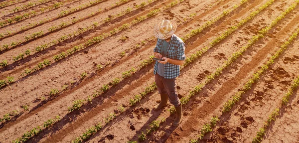


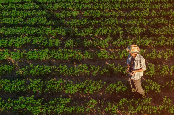
Soybean Farmer With Drone Remote Controller In Field. Using Modern Innovative Technology In Agriculture And Smart Farming.
Image, 7.7MB, 4816 × 3208 jpg
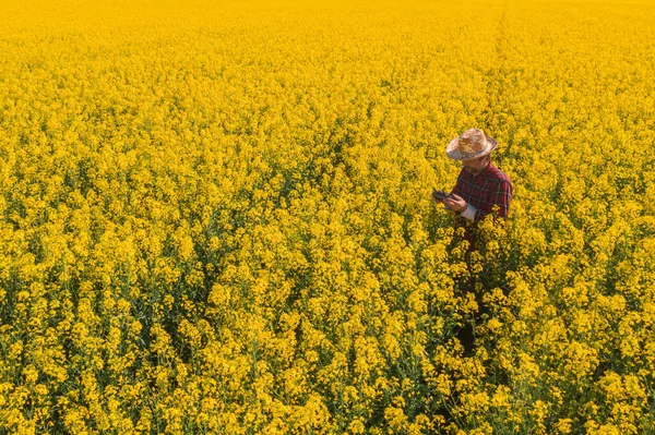
Aerial View Of Oilseed Rape Farmer Using Drone Remote Controller On Blooming Rapeseed Canola Plantation To Control Crop Development.
Image, 12.95MB, 4814 × 3207 jpg

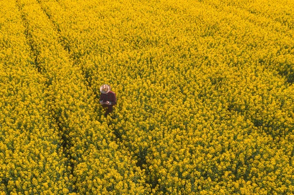
Aerial View Of Oilseed Rape Farmer Using Drone Remote Controller On Blooming Rapeseed Canola Plantation To Control Crop Development.
Image, 17.52MB, 4852 × 3232 jpg

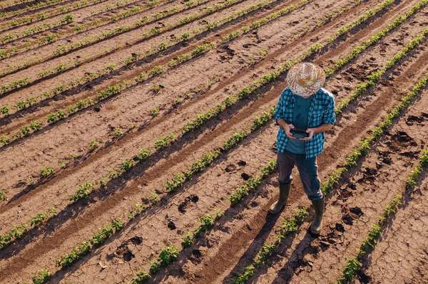
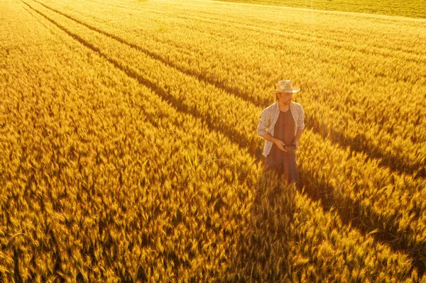
Wheat Farmer Using Drone Remote Controller In Wheatgrass Field. Aerial View Of Male Farm Worker Observing Cultivated Farmland From Drone Pov.
Image, 14.75MB, 5395 × 3594 jpg
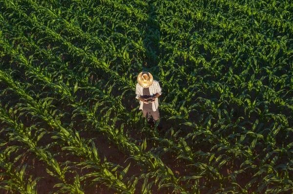
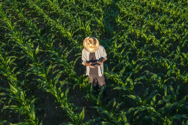
Corn Farmer With Drone Remote Controller In Field. Using Modern Innovative Technology In Agriculture And Smart Farming.
Image, 5.63MB, 4415 × 2941 jpg

Wheat Farmer Using Drone Remote Controller In Wheatgrass Field. Aerial View Of Male Farm Worker Observing Cultivated Farmland From Drone Pov.
Image, 8.38MB, 4738 × 3157 jpg

Set Of Smart Farm Backgrounds. Agricultural And Livestock Automation, Farm Harvest And Robotics With Modern Technologies, Wireless Control. Vector Illustration.
Vector, 2.51MB, 4000 × 4000 eps

Joystick And TV With Football Field On Screen. Video Game Concept. Vector
Vector, 2.49MB, 4000 × 4000 eps

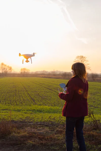
Young Woman Learning How To Pilot Her Drone In, Female Using, Piloting, Fly Drone On Field Of Sunflowers, Summer, Agriculture.
Image, 14.78MB, 4480 × 6720 jpg

Young Woman Learning How To Pilot Her Drone In, Female Using, Piloting, Fly Drone On Field Of Sunflowers, Summer, Agriculture.
Image, 15.46MB, 6720 × 4480 jpg


Keyboard, Headphones And Gamepad On A Blue Background. Added Drawing With The Tactics Of The Game. Football. The Concept Of Computer Games, Entertainment, Gaming, Leisure. Flat Lay, Top View
Image, 6.33MB, 5028 × 3352 jpg

Headphones And Gamepad On A Blue Background. Added Drawing With The Tactics Of The Game. American Football. The Concept Of Computer Games, Entertainment, Gaming, Leisure. Flat Lay, Top View
Image, 6.58MB, 4938 × 3292 jpg


Man Farmer Standing In Wheat Field And Controlling Drone. Technologies In Agriculture Concept
Image, 4.59MB, 5950 × 3967 jpg
Page 1 >> Next