
Stock image Gangwon Province

Tourists Crowded Along Various Cafes In Anmok Beach Which Is Famous For Gangeung Coffee Street. Taken In Gangeung, South Korea On May 1 2020.
Image, 12.88MB, 6000 × 4000 jpg


Small Cascaing Ponds And The Reflection Of The Museum San Building. Taken In Wonju, South Korea
Image, 17.39MB, 6000 × 4000 jpg


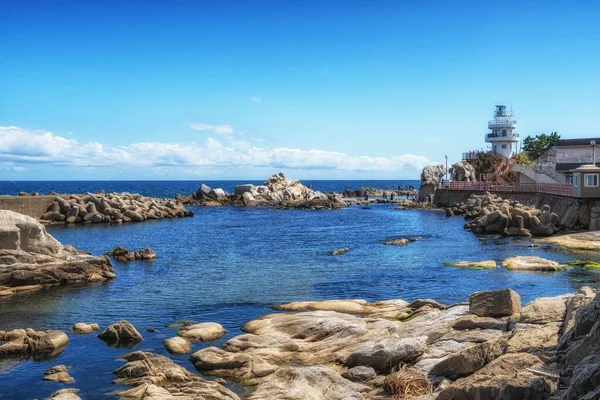
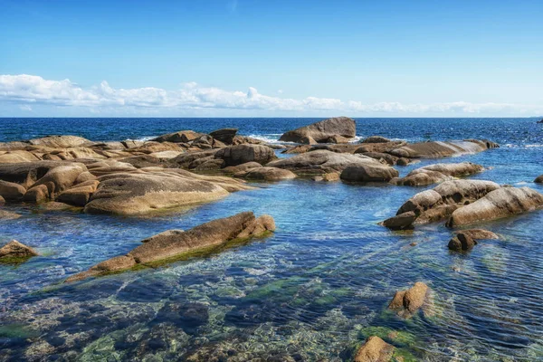
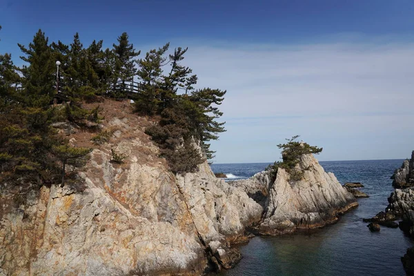
Jumunjin Adeul Rocky Park (son Rock Park) Various Rock Formations. Taken In Gangneung, South Korea
Image, 17.32MB, 6000 × 4000 jpg

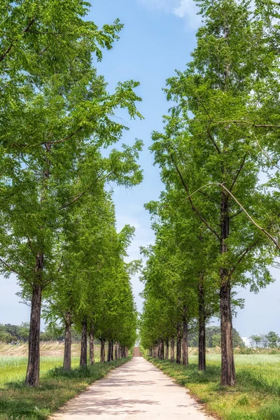
Metasequoia Trees Line Up The Small Pathway In Gyeongpo Ecological Reservoir Park. Taken In Gangneung, South Korea
Image, 13.75MB, 6000 × 4000 jpg

Samcheok, South Korea - July 29, 2024: The Beautifully Restored Traditional Entrance Gate To Jukseoru Pavilion, Framed By Lush Green Trees, Welcoming Visitors To One Of Gwandongs Eight Scenic Views.
Image, 24.39MB, 5560 × 3707 jpg
Jumunjin Adeul Rocky Park (son Rock Park) Various Rock Formations. Taken In Gangneung, South Korea
Image, 15.71MB, 6000 × 4000 jpg

Woljeongsa Fir Tree Forest Trails. Famous Trail In Pyeongchang, South Korea.
Image, 15.75MB, 5881 × 3921 jpg
Metasequoia Trees Line Up The Small Pathway In Gyeongpo Ecological Reservoir Park. Taken In Gangneung, South Korea
Image, 14.17MB, 3880 × 5820 jpg
Jumunjin Adeul Rocky Park (son Rock Park) Various Rock Formations. Taken In Gangneung, South Korea
Image, 15.73MB, 6000 × 4000 jpg
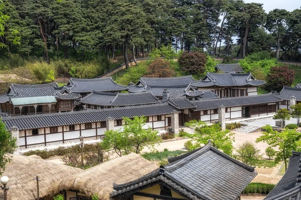
Seongyojang House Is A Famous Tourist Attraction For Its Preservation Of Traditional Royal Joseon Family Homes. Taken In Gangneung, South Korea
Image, 12.83MB, 6000 × 4000 jpg


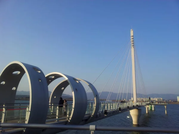
White Horse Battlefield Is The Place Where The Korean War Was Fierce.
Image, 10.65MB, 5616 × 3746 jpg
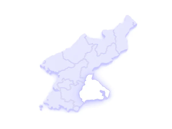


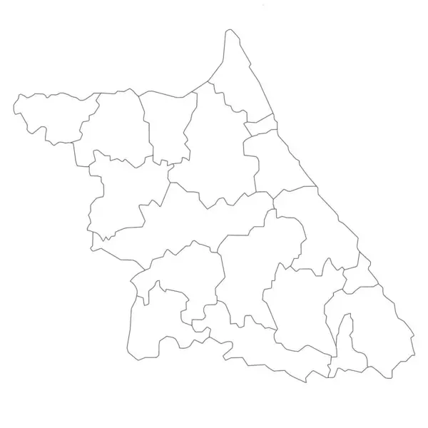
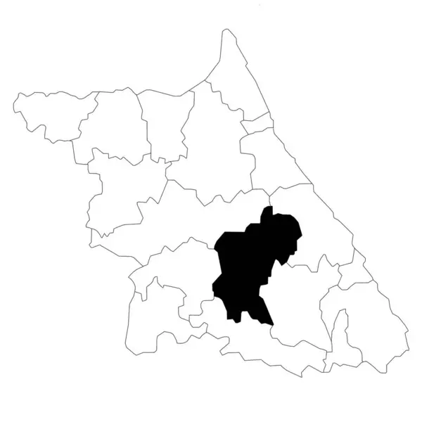
Jeongseon-gun Or Jeongseon County Location On Gangwon-do Or Gangwon Province And Republic Of Korea Or South Korea Map. Counties Map Of Gangwon State
Image, 5.06MB, 8000 × 8000 jpg

Inje-gun Or Inje County Location On Gangwon-do Or Gangwon Province And Republic Of Korea Or South Korea Map. Counties Map Of Gangwon State
Image, 5.06MB, 8000 × 8000 jpg

Set Of 2 Political Maps Of Gangwon Province, South Korea With Regions Isolated On White Background. Gangwon-do Map With Counties And Cities
Image, 2.82MB, 8000 × 4000 jpg
Gangwon Map, Administrative Map Of The South Korean Province Of Gangwon-do
Image, 5.08MB, 8000 × 8000 jpg

Set Of 2 Political Maps Of Gangwon Province, South Korea With Regions Isolated On White Background. Gangwon-do Map With Counties And Cities
Image, 3.08MB, 8000 × 4000 jpg


Taebaek-si Or Taebaek Location On Gangwon-do Or Gangwon Province And Republic Of Korea Or South Korea Map. Counties Map Of Gangwon State
Image, 5.07MB, 8000 × 8000 jpg

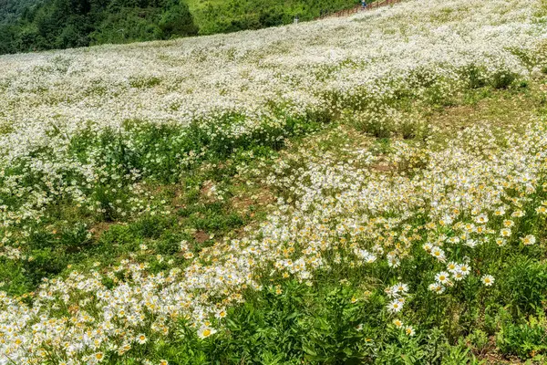
Shasta Daisy Flowers In Yukbaekmajigi In Cheongok Mountain, Pyeongchang, South Korea
Image, 16.81MB, 7008 × 4672 jpg

Yangyang-gun Or Yangyang County Location On Gangwon-do Or Gangwon Province And Republic Of Korea Or South Korea Map. Counties Map Of Gangwon State
Image, 5.07MB, 8000 × 8000 jpg

Gangneung-si Or Gangneung City Location On Gangwon-do Or Gangwon Province And Republic Of Korea Or South Korea Map. Counties Map Of Gangwon State
Image, 5.06MB, 8000 × 8000 jpg
Pyeongchang-gun Or Pyeongchang County Location On Gangwon-do Or Gangwon Province And Republic Of Korea Or South Korea Map. Counties Map Of Gangwon State
Image, 5.06MB, 8000 × 8000 jpg

Symbol Map Of The Province Gangwon (South Korea) Showing The Territory With Concentric Circles In Rainbow Colors Like A Shooting Target
Vector, 0.63MB, 5928 × 6000 eps

Gangwon Map, Administrative Map Of The South Korean Province Of Gangwon-do
Image, 5.01MB, 8000 × 8000 jpg

Yanggu-gun Or Yanggu County Location On Gangwon-do Or Gangwon Province And Republic Of Korea Or South Korea Map. Counties Map Of Gangwon State
Image, 5.07MB, 8000 × 8000 jpg

Chuncheon-si Or Chuncheon City Location On Gangwon-do Or Gangwon Province And Republic Of Korea Or South Korea Map. Counties Map Of Gangwon State
Image, 5.06MB, 8000 × 8000 jpg

Symbol Map Of The Province Gangwon (South Korea). Abstract Map Showing The State/province With A Pattern Of Black And White Squares Like A Chessboard
Vector, 0.59MB, 5928 × 6000 eps


Cheorowon-gun Or Cheorwon County Location On Gangwon-do Or Gangwon Province And Republic Of Korea Or South Korea Map. Counties Map Of Gangwon State
Image, 5.07MB, 8000 × 8000 jpg

Set Of 4 Political Maps Of Gangwon Province, South Korea With Regions Isolated On White Background. Gangwon-do Map With Counties And Cities
Image, 5.38MB, 8000 × 8000 jpg

Color Map Of Gangwon, Administrative Map Of The South Korean Province Of Gangwon-do
Image, 5.93MB, 8000 × 8000 jpg

Gangwon Map, Administrative Map Of The South Korean Province Of Gangwon-do
Image, 6.04MB, 8000 × 8000 jpg

Shasta Daisy Flowers In Yukbaekmajigi In Cheongok Mountain, Pyeongchang, South Korea
Image, 20.7MB, 6223 × 4149 jpg
Page 1 >> Next