photo free
Home Images Vectors Videos

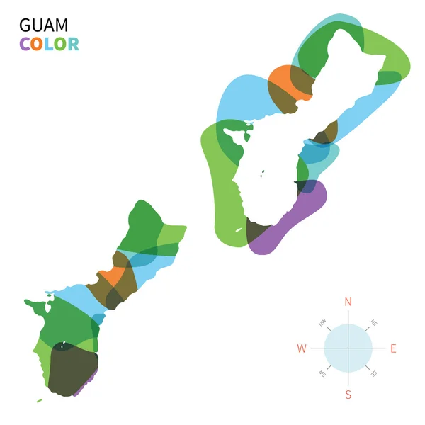
Stock image Guam Contour

stock vector Illustrated Country Shape of Guam

Illustrated Country Shape Of Guam

Vector, 1.08MB, 4167 × 4168 eps
stock vector Guam administrative map with flag

Guam Administrative Map With Flag

Vector, 0.51MB, 3100 × 3755 eps
stock vector Detailed vector map of Guam and capital city Agana

Detailed Vector Map Of Guam And Capital City Agana

Vector, 3.29MB, 5867 × 5867 eps
stock vector Blank map of Guam. High quality map of Guam  with provinces on transparent background for your web site design, app, UI.  Oceania.  USA. EPS10.

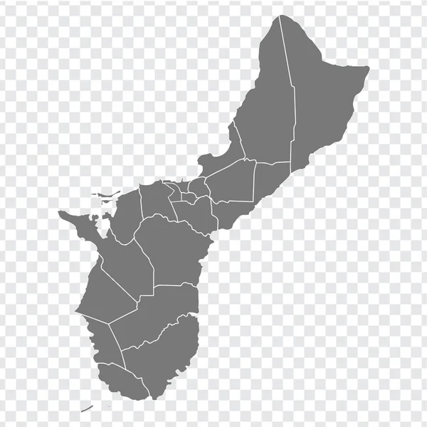
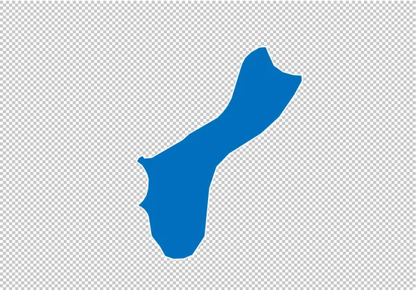
Blank Map Of Guam. High Quality Map Of Guam With Provinces On Transparent Background For Your Web Site Design, App, UI. Oceania. USA. EPS10.

Vector, 3.34MB, 5000 × 5000 eps
stock image Guam map

Guam Map

Image, 0.9MB, 2850 × 3664 jpg
stock vector Guam map

Guam Map

Vector, 1.11MB, 6168 × 7183 eps
stock vector guam map - High detailed blue map with counties/regions/states of guam. nepal map isolated on transparent background.

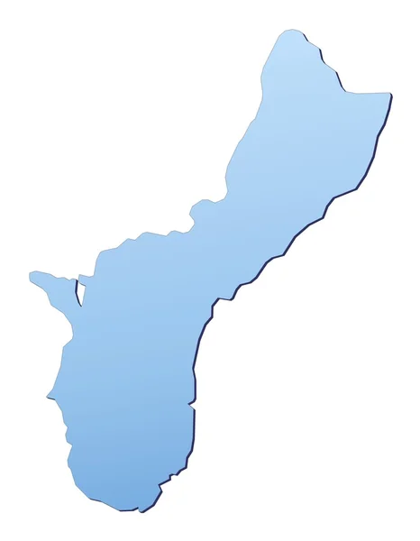
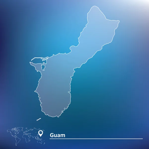
Guam Map - High Detailed Blue Map With Counties/regions/states Of Guam. Nepal Map Isolated On Transparent Background.

Vector, 1.79MB, 6990 × 4880 eps
stock vector northern mariana islands map

Northern Mariana Islands Map

Vector, 1.32MB, 5523 × 6803 eps
stock vector Map outline and flag of Guam, A dark blue background with a thin red border and the Seal of Guam in the center. with name text U.S. Territory of Guam.

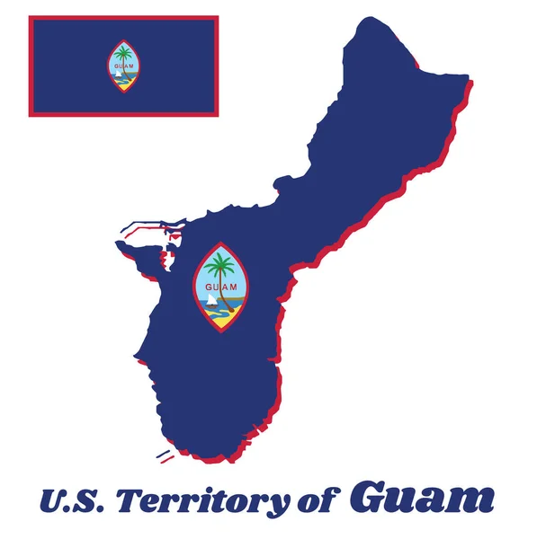
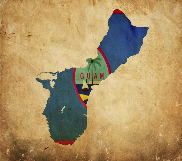
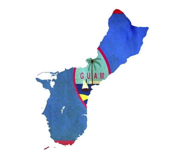
Map Outline And Flag Of Guam, A Dark Blue Background With A Thin Red Border And The Seal Of Guam In The Center. With Name Text U.S. Territory Of Guam.

Vector, 5.28MB, 8111 × 8139 eps
stock vector Set of separated American states. Divided USA map. All the countries are named in the layer panel

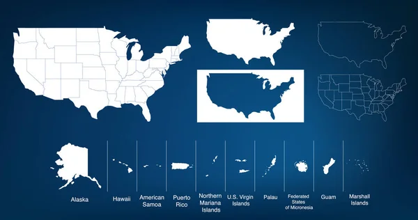
Set Of Separated American States. Divided USA Map. All The Countries Are Named In The Layer Panel

Vector, 0.57MB, 6000 × 3200 eps
stock vector Guam map with waving flag of country. Vector illustration. Flags from the continent of Oceania. Map of Guam with the Guamanian flag isolated on white background.

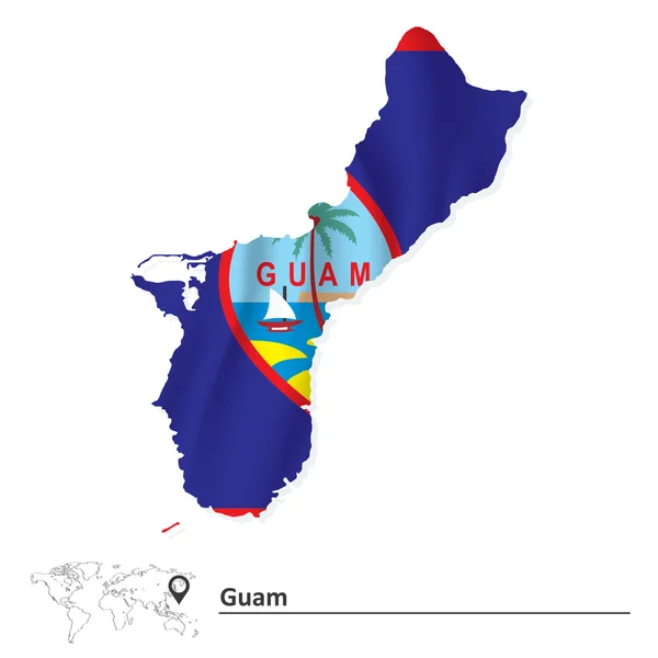
Guam Map With Waving Flag Of Country. Vector Illustration. Flags From The Continent Of Oceania. Map Of Guam With The Guamanian Flag Isolated On White Background.

Vector, 8.2MB, 4000 × 4000 eps
stock vector Map of Guam with flag

Map Of Guam With Flag

Vector, 7.02MB, 5984 × 5984 eps
stock image Guam Island in the Philippine Sea on a topographic, OSM Humanitarian style map

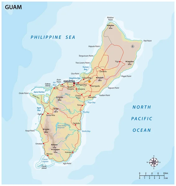
Guam Island In The Philippine Sea On A Topographic, OSM Humanitarian Style Map

Image, 0.74MB, 2880 × 1620 jpg
stock vector Abstract vector color map of Guam with transparent paint effect.

Abstract Vector Color Map Of Guam With Transparent Paint Effect.

Vector, 3.43MB, 5867 × 5867 eps
stock vector Flag of Guam from brush strokes. Flag of Guam Territory on transparent background for your web site design, app, UI.  Oceania. USA. Stock vector.  EPS10.

Flag Of Guam From Brush Strokes. Flag Of Guam Territory On Transparent Background For Your Web Site Design, App, UI. Oceania. USA. Stock Vector. EPS10.

Vector, 7.22MB, 5000 × 5000 eps
stock vector Guam vector outline dot triangle vector map

Guam Vector Outline Dot Triangle Vector Map

Vector, 0.12MB, 5000 × 5667 eps
stock image Guam Island in the Philippine Sea, belonging to United States, isolated on a bilevel elevation map, with distance scale

Guam Island In The Philippine Sea, Belonging To United States, Isolated On A Bilevel Elevation Map, With Distance Scale

Image, 0.51MB, 2160 × 2160 jpg
stock vector Map of Guam a non incorporated territory of the United States

Map Of Guam A Non Incorporated Territory Of The United States

Vector, 1.02MB, 3113 × 3288 eps
stock vector Guam Island map silhouette isolated on white background

Guam Island Map Silhouette Isolated On White Background

Vector, 8.09MB, 4006 × 5000 eps
stock vector Guam blank outline map set

Guam Blank Outline Map Set

Vector, 0.74MB, 6000 × 3000 eps
stock image Guam Island in the Philippine Sea - belonging to United States. Described location diagram with yellow shape of the island and sample maps of its surroundings

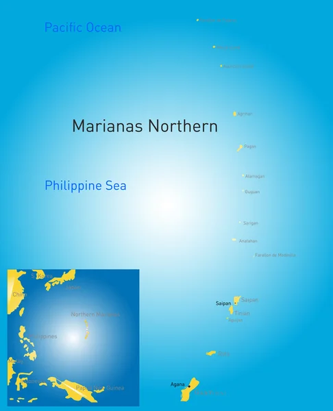
Guam Island In The Philippine Sea - Belonging To United States. Described Location Diagram With Yellow Shape Of The Island And Sample Maps Of Its Surroundings

Image, 1.86MB, 3840 × 2160 jpg
stock vector Guam map vector

Guam Map Vector

Vector, 0.28MB, 7087 × 4724 eps
stock vector Black map collection, black contour maps of World. Map collection Part 9.

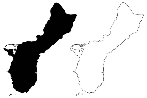
Black Map Collection, Black Contour Maps Of World. Map Collection Part 9.

Vector, 0.4MB, 5170 × 5000 eps
stock image Guam Island in the Philippine Sea, belonging to United States, isolated on a topographic, OSM Humanitarian style map, with distance scale

Guam Island In The Philippine Sea, Belonging To United States, Isolated On A Topographic, OSM Humanitarian Style Map, With Distance Scale

Image, 0.87MB, 2160 × 2160 jpg
stock vector Map of Guam

Map Of Guam

Vector, 5.5MB, 5983 × 5983 eps
stock vector Map of Guam a non incorporated territory of the United States

Map Of Guam A Non Incorporated Territory Of The United States

Vector, 0.67MB, 3113 × 3288 eps
stock image Vintage map of Guam on grunge paper

Vintage Map Of Guam On Grunge Paper

Image, 8.99MB, 3216 × 2848 jpg
stock image Guam Island in the Philippine Sea, belonging to United States, isolated on a satellite image taken in November 21, 2021, with distance scale

Guam Island In The Philippine Sea, Belonging To United States, Isolated On A Satellite Image Taken In November 21, 2021, With Distance Scale

Image, 1.27MB, 2160 × 2160 jpg
stock image Guam Island in the Philippine Sea on a satellite image taken in March 21, 2021

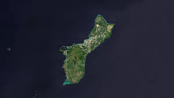
Guam Island In The Philippine Sea On A Satellite Image Taken In March 21, 2021

Image, 5.08MB, 2880 × 1620 jpg
stock image Map of Guam isolated

Map Of Guam Isolated

Image, 1.99MB, 3216 × 2848 jpg
stock vector Outline United States Of America map. US background template. Map of America with separated countries and interstate borders. All states and regions are named in the layer panel.

Outline United States Of America Map. US Background Template. Map Of America With Separated Countries And Interstate Borders. All States And Regions Are Named In The Layer Panel.

Vector, 1.14MB, 5000 × 3500 eps
stock vector Map of The United States of America USA with territories and Islands. Different map variations for your design. Stock Vector illustration isolated on white background.

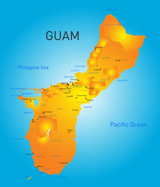
Map Of The United States Of America USA With Territories And Islands. Different Map Variations For Your Design. Stock Vector Illustration Isolated On White Background.

Vector, 5.9MB, 6000 × 3164 eps
stock image Guam Island in the Philippine Sea on a colored elevation map

Guam Island In The Philippine Sea On A Colored Elevation Map

Image, 0.9MB, 2880 × 1620 jpg
Page 1 >> Next