Home
Images
Vectors
Videos
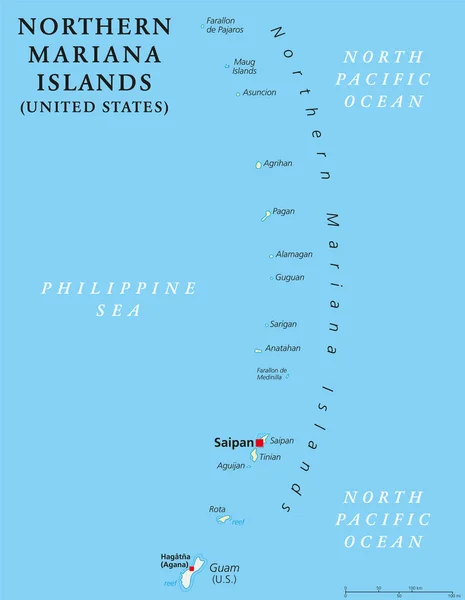
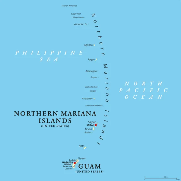
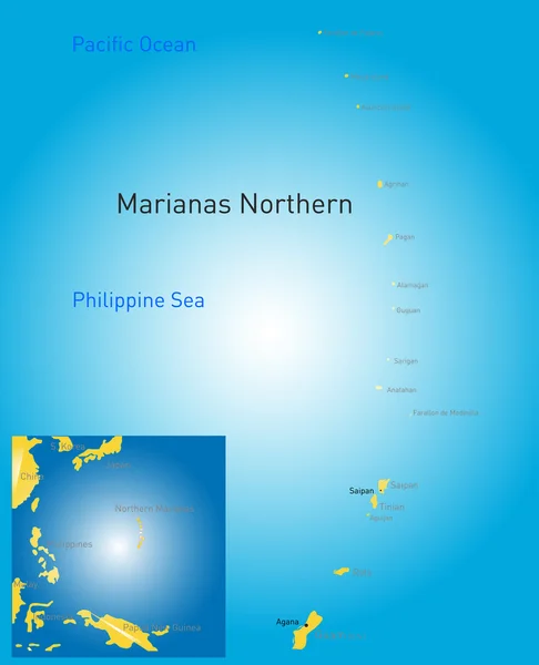
Stock vector northern mariana islands map
Published:
Sep.10, 2014 15:36:52
Author:
olinchuk
Views:
321
Downloads:
3
File type:
vector
/
eps
File size:
1.32 MB
Orginal size:
5523
x
6803
px
Available sizes:
S
(406 x 500)
M
(812 x 1000)
L
(1624 x 2000)
XL
(5523 x 6803)
VECT
(5523 x 6803)
EL0
(5523 x 6803)
Level:
gold
Download Vector
Vector topics:
Color
Image
White
Blue
Vector
Background
Graphic
Illustration
Design
Shape
Sign
Travel
Sea
Black
Frame
Flag
Road
City
Contour
Drawing
American
Usa
Ocean
Tourism
North
Northern
South
Outline
Country
Map
Geography
Pacific
Land
Chart
Reef
Airport
Coral
United
States
Islands
Territory
Nation
Guam
Micronesia
Mariana
Unincorporated
Saipan
Similar stock vectors
Northern Mariana Islands Political Map
6974 × 8999
Map Of The Mariana Trench, Deepest Oceanic Trench Of Earth
3200 × 2000
Guam And Northern Mariana Islands, Political Map. Two Separate Unincorporated Territories Of The United States Of America In The Micronesia Subregion Of The Western Pacific Ocean. Illustration. Vector
6000 × 6000
Detailed Vector Map Of Marquesas Islands
5867 × 5867
Saipan And Tinian, Northern Mariana Islands, Political Map. Islands Of The Mariana Archipelago. Unincorporated Territory And Commonwealth Of The United States, With Administrative Center Capitol Hill.
6000 × 6000
Palau Political Map
6000 × 6999
Vector Map Of The Pacific Island Nation Of Palau
3100 × 4251
Marquesas Islands, Political Map. Group Of Volcanic Islands, In French Polynesia, An Overseas Collectivity Of France, In The South Pacific Ocean, With Capital Taiohae, On The Island Nuka Hiva. Vector
6000 × 6000