
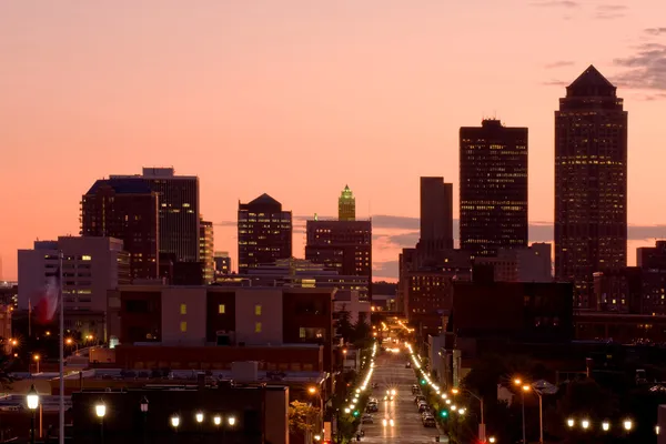
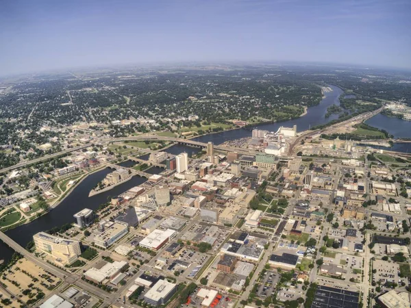
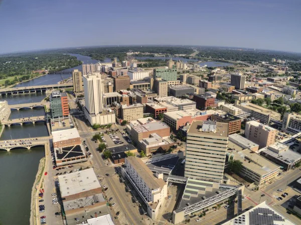
Stock image Iowa Capital


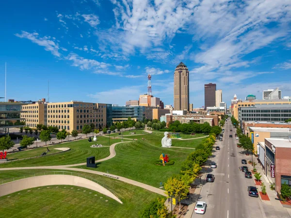
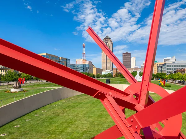
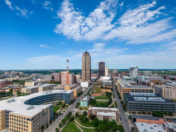
July 19, 2020 - Des Moines, Iowa, USA: Des Moines Is The Capital Of Iowa. It Was Incorporated On September 22, 1851, As Fort Des Moines, Which Was Shortened To "Des Moines" In 1857default
Image, 1.61MB, 3992 × 2992 jpg


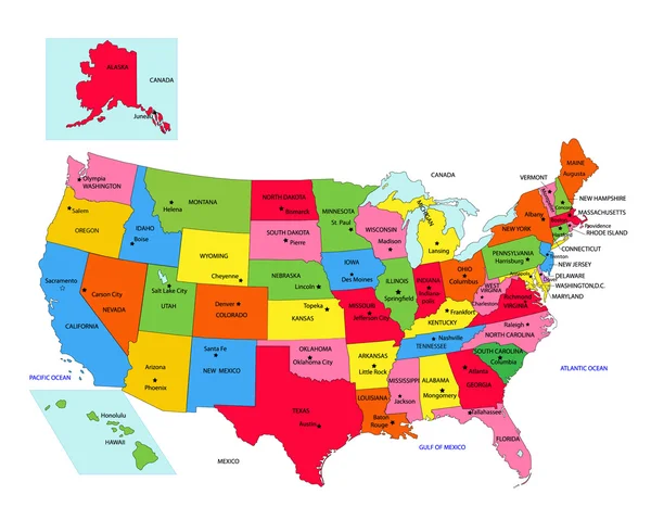
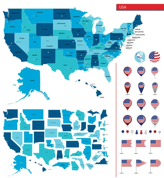
Detailed Map Of The United States Of America. Big Sities. Icons, Location Indicators
Vector, 7.55MB, 7087 × 7659 eps
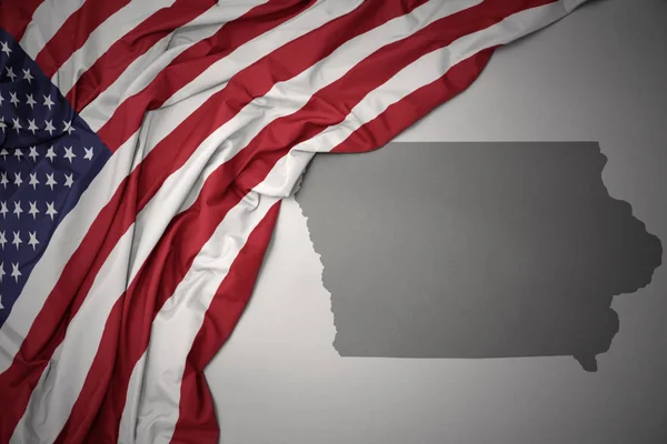
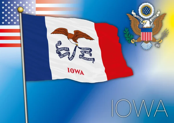
Waving Colorful National Flag Of United States Of America On A Gray Iowa State Map Background.
Image, 9.05MB, 6558 × 4377 jpg

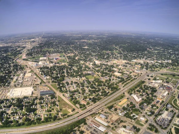
July 19, 2020 - Knoxville, Iowa, USA: Knoxville Raceway Is A Semi-banked 1/2 Mile Dirt Oval Raceway (zook Clay) Located At The Marion County Fairgrounds In Knoxville, Iowadefault
Image, 2.27MB, 3992 × 2992 jpg

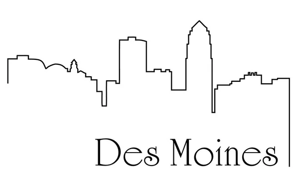
Iowa, Des Moines Architecture Line Skyline Illustration. Linear Vector Cityscape With Famous Landmarks, City Sights, Design Icons. Landscape Wtih Editable Strokes
Vector, 1.95MB, 6000 × 3000 eps

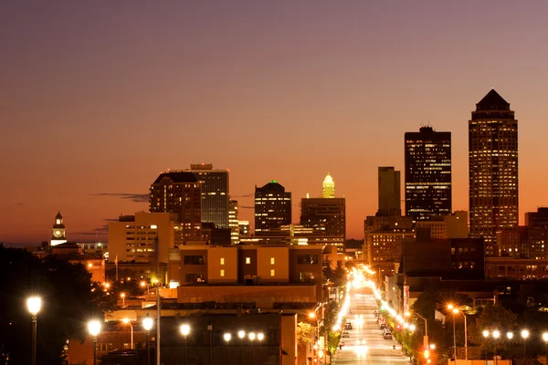
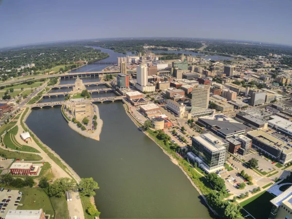
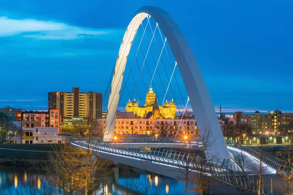
A High Angle Shot Overlooking Downtown Dubuque Iowa During A Fall Twilight Long Exposure
Image, 10.85MB, 5184 × 3456 jpg
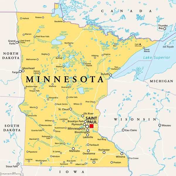
Minnesota, MN, Political Map, With Capital Saint Paul And Metropolitan Area Minneapolis. State In The Upper Midwestern United States. Nicknamed Land Of 10,000 Lakes, North Star State And Gopher State.
Vector, 6.13MB, 6000 × 6000 eps
July 19, 2020 - Des Moines, Iowa, USA: Des Moines Is The Capital Of Iowa. It Was Incorporated On September 22, 1851, As Fort Des Moines, Which Was Shortened To "Des Moines" In 1857default
Image, 1.64MB, 3992 × 2992 jpg

Collection Of Low-polygon Maps Of U.S. States With A State Capital Sign. Maps Sorted Alphabetically.
Vector, 3.41MB, 8000 × 2983 eps
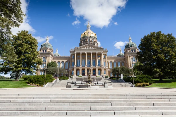

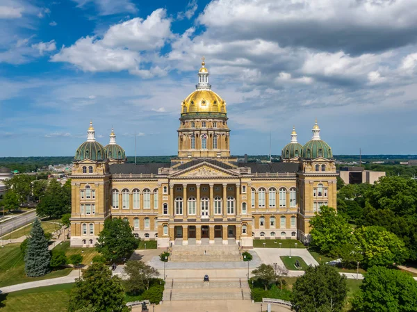
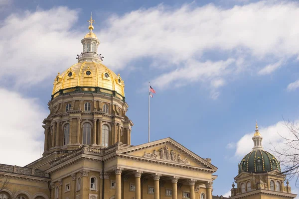
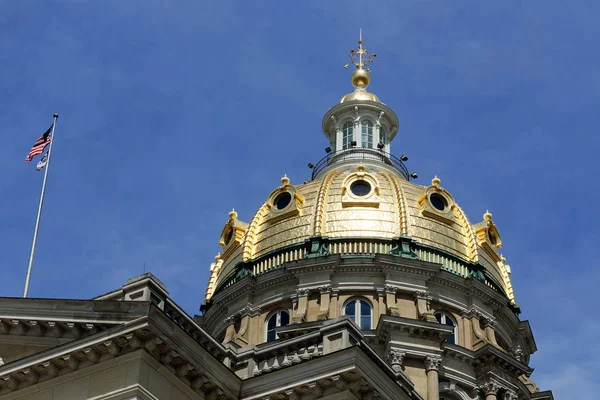
July 19, 2020 - Des Moines, Iowa, USA: The Iowa State Capitol Is The State Capitol Building Of The U.S. State Of Iowa. Default
Image, 1.94MB, 3992 × 2992 jpg
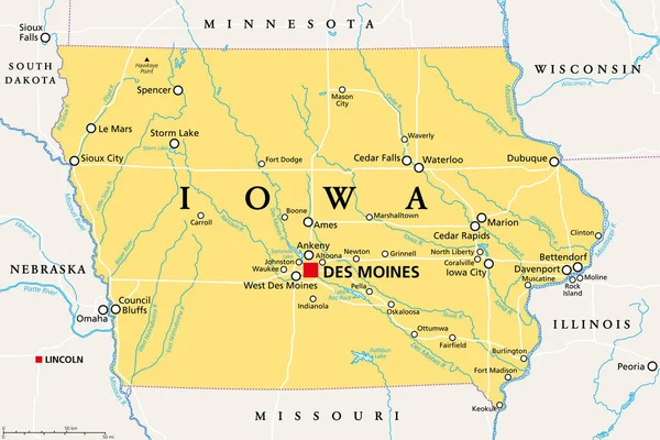
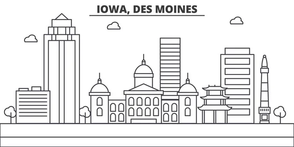
Iowa, IA, Political Map, With The Capital Des Moines And Most Important Cities, Rivers And Lakes. State In The Midwestern Region Of The United States Of America, Nicknamed The Hawkeye State. Vector.
Vector, 3.33MB, 9000 × 6000 eps
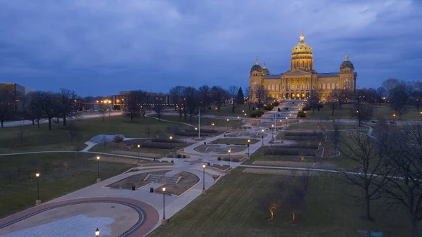
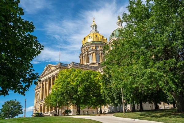
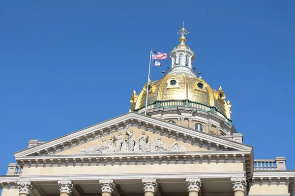
The Iowa State Capitol Dome Gleams In The Sunlight. The Beautiful Dome Has Stood Over Des Moines Since 1886.
Image, 7.33MB, 5059 × 3372 jpg

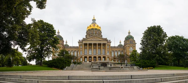
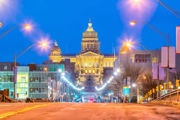
July 19, 2020 - Des Moines, Iowa, USA: The Iowa State Capitol Is The State Capitol Building Of The U.S. State Of Iowa.
Image, 5.99MB, 6000 × 4000 jpg
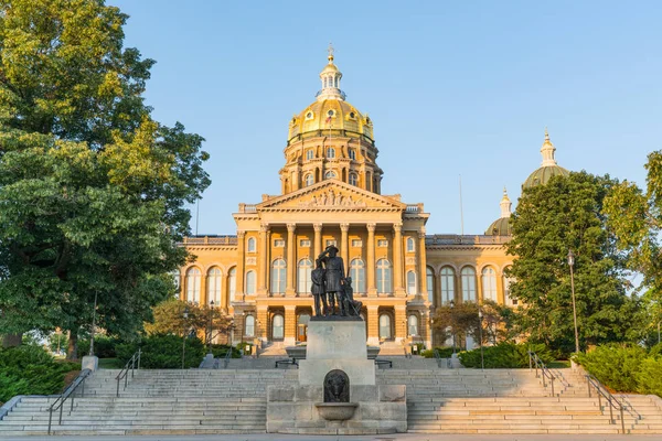
DES MOINES, IA - JULY 11, 2018: Facade Of The Iowa State Capitol Building In Des Moines, Iowa
Image, 23.17MB, 7506 × 5007 jpg

Wisconsin, WI, Political Map, With The Capital Madison And Metropolitan Area Milwaukee. State In The Upper Midwestern United States Of America, With The Nicknames Badger State, And Americas Dairyland.
Vector, 4.43MB, 6000 × 6000 eps

July 19, 2020 - Des Moines, Iowa, USA: Des Moines Is The Capital Of Iowa. It Was Incorporated On September 22, 1851, As Fort Des Moines, Which Was Shortened To "Des Moines" In 1857default
Image, 1.76MB, 3992 × 2992 jpg
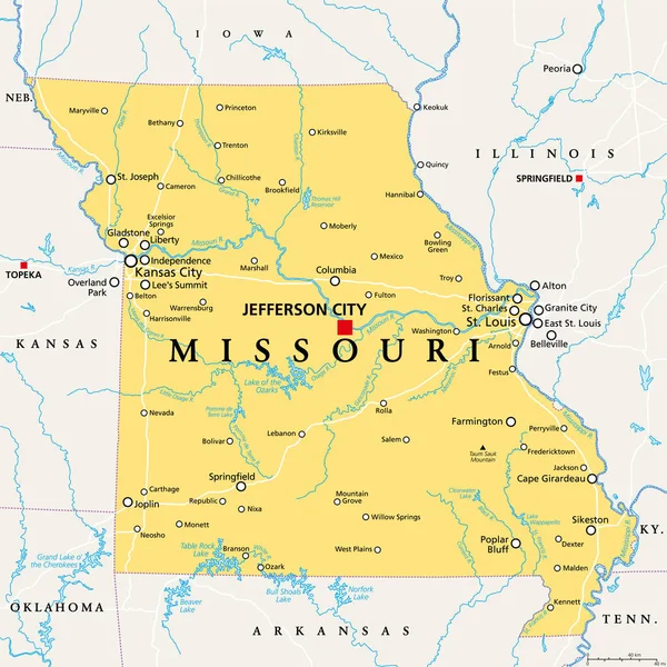
Missouri, MO, Political Map, With Capital Jefferson City, And Largest Cities, Lakes And Rivers. State In Midwestern Region Of United States, Nicknamed Show Me State, Cave State And Mother Of The West.
Vector, 5.4MB, 6000 × 6000 eps
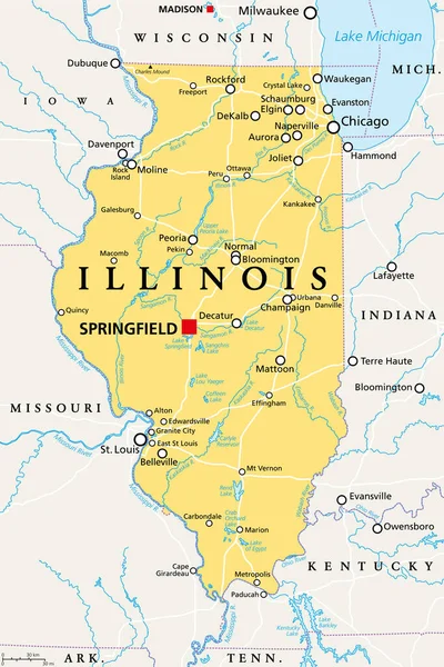
Illinois, IL, Political Map, With Capital Springfield And Metropolitan Area Chicago. State In The Midwestern Region Of United States, Nicknamed Land Of Lincoln, Prairie State, And Inland Empire State.
Vector, 4.08MB, 6000 × 9000 eps
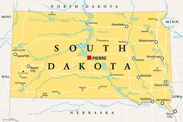
South Dakota, SD, Political Map, With Capital Pierre, And Largest City Sioux Falls. State In The Upper Midwestern Subregion Of The United States Of America, Nicknamed The Mount Rushmore State. Vector.
Vector, 3.62MB, 9000 × 5999 eps

Page 1 >> Next