photo free
Home Images Vectors Videos

Stock image Marion Map Isolated

stock image Map of Marion County in Florida state on white background. single County map highlighted by black colour on Florida map. UNITED STATES, US

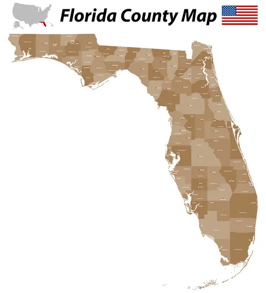
Map Of Marion County In Florida State On White Background. Single County Map Highlighted By Black Colour On Florida Map. UNITED STATES, US

Image, 5.84MB, 8000 × 8000 jpg
stock vector Marion (South Australia) outline map set

Marion (South Australia) Outline Map Set

Vector, 0.33MB, 6000 × 3000 eps
stock image Map of Marion County in Ohio state on white background. single County map highlighted by black colour on Ohio map. UNITED STATES, US

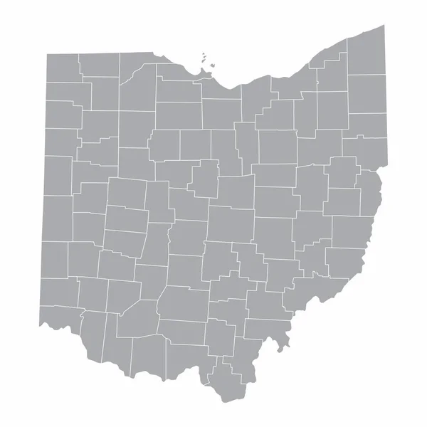
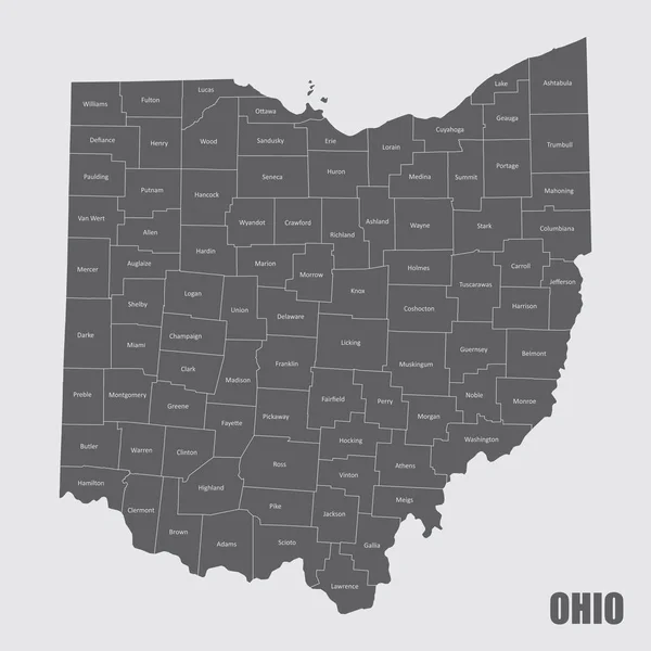
Map Of Marion County In Ohio State On White Background. Single County Map Highlighted By Black Colour On Ohio Map. UNITED STATES, US

Image, 5.59MB, 8000 × 8000 jpg
stock image Map of Marion County in Illinois state on white background. single County map highlighted by black colour on Illinois map. UNITED STATES, US

Map Of Marion County In Illinois State On White Background. Single County Map Highlighted By Black Colour On Illinois Map. UNITED STATES, US

Image, 5.19MB, 8000 × 8000 jpg
stock image Map of Marion County in Georgia state on white background. single County map highlighted by black colour on Georgia map. UNITED STATES, US

Map Of Marion County In Georgia State On White Background. Single County Map Highlighted By Black Colour On Georgia Map. UNITED STATES, US

Image, 6.57MB, 8000 × 8000 jpg
stock vector The Missouri State county map with labels

The Missouri State County Map With Labels

Vector, 9.94MB, 5000 × 5000 eps
stock vector Ohio Counties Map

Ohio Counties Map

Vector, 8.17MB, 5000 × 5000 eps
stock vector Florida County Map

Florida County Map

Vector, 0.8MB, 4545 × 5000 ai
stock vector Set maps of Florida state

Set Maps Of Florida State

Vector, 1.17MB, 5226 × 7451 eps
stock vector Ohio Counties Map

Ohio Counties Map

Vector, 9.69MB, 5000 × 5000 eps
stock vector 19 of 50 states of the United States with a name, nickname, and

19 Of 50 States Of The United States With A Name, Nickname, And

Vector, 0.75MB, 7311 × 4112 eps
stock image iowa state cities list

Iowa State Cities List

Image, 1.43MB, 3840 × 2160 jpg
stock image List of cities in Iowa USA state, map silhouette word cloud, map concept background

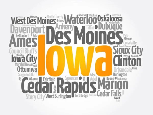
List Of Cities In Iowa USA State, Map Silhouette Word Cloud, Map Concept Background

Image, 7.01MB, 9656 × 7296 jpg
stock vector Indiana counties, gray political map. State in the Midwestern region of the United States, subdivided into 92 counties. Nicknamed The Hoosier State. Map with borders and county names. Illustration

Indiana Counties, Gray Political Map. State In The Midwestern Region Of The United States, Subdivided Into 92 Counties. Nicknamed The Hoosier State. Map With Borders And County Names. Illustration

Vector, 2.01MB, 6000 × 8826 eps
stock image Marion Island in the Indian Ocean, belonging to South Africa, isolated on a topographic, OSM Humanitarian style map, with distance scale

Marion Island In The Indian Ocean, Belonging To South Africa, Isolated On A Topographic, OSM Humanitarian Style Map, With Distance Scale

Image, 0.35MB, 2160 × 2160 jpg
stock vector Indiana counties, political map. State in the Midwestern region of the United States, subdivided into 92 counties. Nicknamed The Hoosier State. Map with borders and county names. Illustration

Indiana Counties, Political Map. State In The Midwestern Region Of The United States, Subdivided Into 92 Counties. Nicknamed The Hoosier State. Map With Borders And County Names. Illustration

Vector, 2.42MB, 6000 × 9000 eps
stock vector Oregon, U.S. state, subdivided into 36 counties, multi colored political map with capital Salem, borders and county names. State in the Pacific Northwest region of the United States. The Beaver State.

Oregon, U.S. State, Subdivided Into 36 Counties, Multi Colored Political Map With Capital Salem, Borders And County Names. State In The Pacific Northwest Region Of The United States. The Beaver State.

Vector, 2.21MB, 7830 × 6000 eps
stock image Marion Island in the Indian Ocean, belonging to South Africa, isolated on a bilevel elevation map, with distance scale

Marion Island In The Indian Ocean, Belonging To South Africa, Isolated On A Bilevel Elevation Map, With Distance Scale

Image, 0.51MB, 2160 × 2160 jpg
stock vector Detailed infographic and map of Marion County in Florida USA.

Detailed Infographic And Map Of Marion County In Florida USA.

Vector, 1.54MB, 5000 × 4000 ai
stock image Marion Island in the Indian Ocean, belonging to South Africa, isolated on a satellite image taken in February 7, 2021, with distance scale

Marion Island In The Indian Ocean, Belonging To South Africa, Isolated On A Satellite Image Taken In February 7, 2021, With Distance Scale

Image, 1.8MB, 2160 × 2160 jpg
stock vector Oregon counties, gray political map with borders and county names. State in the Pacific Northwest region of the United States, subdivided into 36 counties. Nicknamed The Beaver State. Illustration.

Oregon Counties, Gray Political Map With Borders And County Names. State In The Pacific Northwest Region Of The United States, Subdivided Into 36 Counties. Nicknamed The Beaver State. Illustration.

Vector, 2.19MB, 7830 × 6000 eps
Page 1 >> Next