photo free
Home Images Vectors Videos

Stock image Map of Marion County in Illinois state on white background. single County map highlighted by black colour on Illinois map. UNITED STATES, US

Stock image Map of Marion County in Illinois state on white background. single County map highlighted by black colour on Illinois map. UNITED STATES, US
Published: Jul.18, 2024 06:38:09
Author: akhtaransari
Views: 0
Downloads: 0
File type: image / jpg
File size: 5.19 MB
Orginal size: 8000 x 8000 px
Available sizes:
S
(500 x 500)
M
(1000 x 1000)
L
(2000 x 2000)
XL
(8000 x 8000)
EL0
(8000 x 8000)
Level: beginner
Download Image
Image topics:

Similar stock images

stock image map of the state of texas

Map Of The State Of Texas

4000 × 5000
stock image Shape of Michigan, state of Mainland United States, with its capital isolated on white background. Topographic relief map. 3D rendering

Shape Of Michigan, State Of Mainland United States, With Its Capital Isolated On White Background. Topographic Relief Map. 3D Rendering

3717 × 3836
stock image map of michigan, geographical map illustration

Map Of Michigan, Geographical Map Illustration

4000 × 5000
stock image Map of Smith County in Mississippi state on white background. single County map highlighted by black colour on Mississippi map. United States of America, US

Map Of Smith County In Mississippi State On White Background. Single County Map Highlighted By Black Colour On Mississippi Map. United States Of America, US

6734 × 8080
stock image Political map of United States with the several states where Wisconsin is highlighted.

Political Map Of United States With The Several States Where Wisconsin Is Highlighted.

6339 × 4055
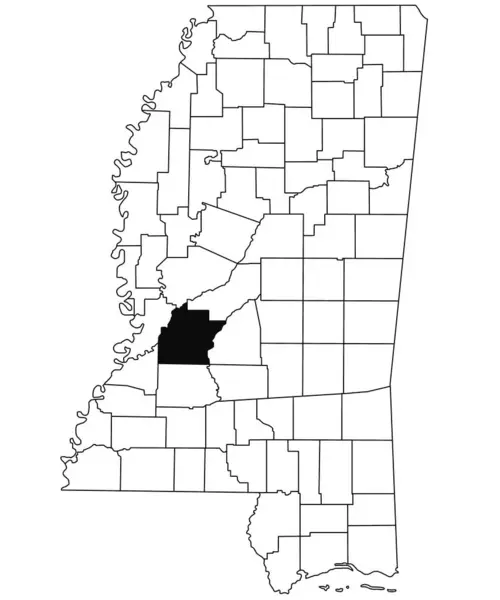
stock image Map of hinds County in Mississippi state on white background. single County map highlighted by black colour on Mississippi map. United States of America, US

Map Of Hinds County In Mississippi State On White Background. Single County Map Highlighted By Black Colour On Mississippi Map. United States Of America, US

6734 × 8080
stock image Michigan Sate Map

Michigan Sate Map

4096 × 4096
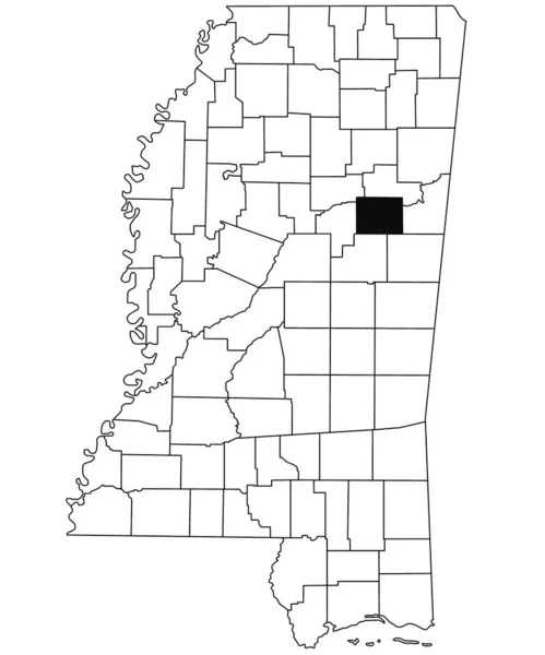
stock image Map of oktibbeha County in Mississippi state on white background. single County map highlighted by black colour on Mississippi map. United States of America, US

Map Of Oktibbeha County In Mississippi State On White Background. Single County Map Highlighted By Black Colour On Mississippi Map. United States Of America, US

6734 × 8080