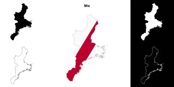
Stock image Mie Prefecture Map

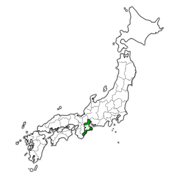
Mie Flag Of Troms Prefecture On Map With Administrative Divisions And Borders Of Japan
Image, 0.74MB, 4576 × 4531 jpg

Symbol Map Of The Prefecture Mie (Japan) Showing The State/province With A Pattern Of Randomly Distributed Colorful Squares Of Different Sizes
Vector, 0.74MB, 3640 × 6000 eps

Kansai Region, Or Also Kinki Region In Japan, Multi Colored Political Map. Southern-central Region Of Main Island Honshu, Consisting Of Prefectures Hyogo, Mie, Nara, Osaka, Kyoto, Shiga, And Wakayama.
Vector, 3.65MB, 6000 × 6000 eps

Symbol Map Of The Prefecture Mie (Japan). Abstract Map Showing The State/province With A Pattern Of Black And White Squares Like A Chessboard
Vector, 0.59MB, 3640 × 6000 eps

Kansai Region, Or The Kinki Region In Japan, Political Map. Southern-central Region Of The Main Island Honshu, Consisting Of The Prefectures Hyogo, Mie, Nara, Osaka, Kyoto, Shiga, And Wakayama. Vector
Vector, 5.8MB, 6000 × 6000 eps

Symbol Map Of The Prefecture Mie (Japan) Showing The Contour Of The State/province Buffered Inside In Rainbow Colors
Vector, 0.83MB, 3640 × 6000 eps

Kansai Region, Or The Kinki Region In Japan, Gray Political Map. Southern-central Region Of The Main Island Honshu, Consisting Of The Prefectures Hyogo, Mie, Nara, Osaka, Kyoto, Shiga, And Wakayama.
Vector, 3.78MB, 6000 × 6000 eps

Symbol Map Of The Prefecture Mie (Japan) Showing The State/province With A Pattern Of Black Circles
Vector, 0.99MB, 3640 × 6000 eps
Page 1 >> Next

