photo free
Home Images Vectors Videos

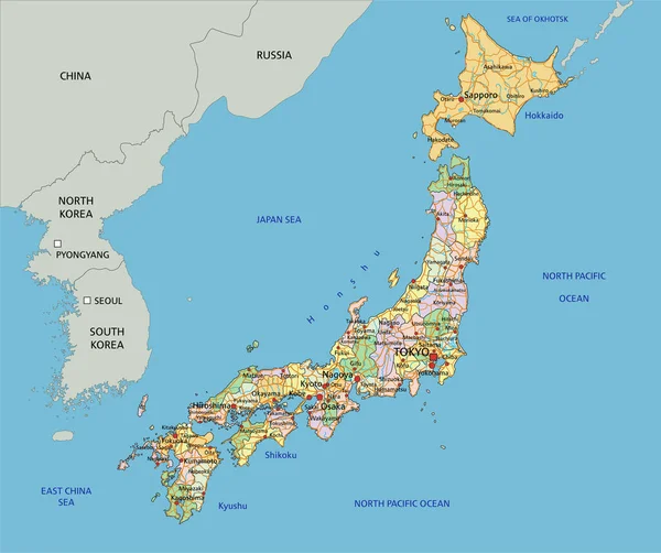
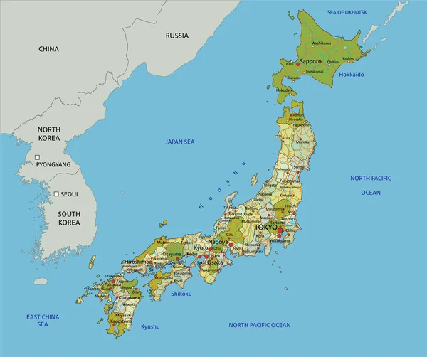
Stock vector Kansai region, or the Kinki region in Japan, political map. Southern-central region of the main island Honshu, consisting of the prefectures Hyogo, Mie, Nara, Osaka, Kyoto, Shiga, and Wakayama. Vector

Stock vector Kansai region, or the Kinki region in Japan, political map. Southern-central region of the main island Honshu, consisting of the prefectures Hyogo, Mie, Nara, Osaka, Kyoto, Shiga, and Wakayama. Vector
Published: Jul.03, 2024 13:17:05
Author: Furian
Views: 0
Downloads: 0
File type: vector / eps
File size: 5.8 MB
Orginal size: 6000 x 6000 px
Available sizes:
S
(500 x 500)
M
(1000 x 1000)
L
(2000 x 2000)
XL
(6000 x 6000)
VECT
(6000 x 6000)
EL0
(6000 x 6000)
Level: silver
Download Vector
Vector topics:

Similar stock vectors

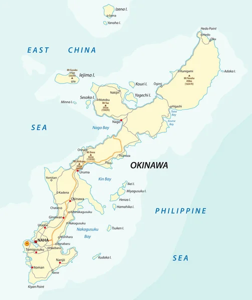
stock vector Detailed vector road map of Japanese island Okinawa, Japan

Detailed Vector Road Map Of Japanese Island Okinawa, Japan

3100 × 3692
stock vector Kyushu, political map. Region of Japan, and one of five main islands, southwest of Honshu and Shikoku, separated by Seto Inland Sea. With Tsushima Island, Goto, Amakusa, Koshikijima and Osumi Islands.

Kyushu, Political Map. Region Of Japan, And One Of Five Main Islands, Southwest Of Honshu And Shikoku, Separated By Seto Inland Sea. With Tsushima Island, Goto, Amakusa, Koshikijima And Osumi Islands.

6000 × 6857
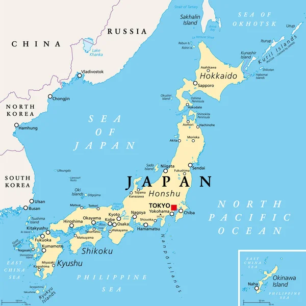
stock vector Japan political map. Main islands Honshu, Hokkaido, Kyushu, Shikoku and Okinawa. East Asian island country in the North Pacific bordered by Sea of Japan and Okhotsk, and East China and Philippine Sea.

Japan Political Map. Main Islands Honshu, Hokkaido, Kyushu, Shikoku And Okinawa. East Asian Island Country In The North Pacific Bordered By Sea Of Japan And Okhotsk, And East China And Philippine Sea.

6000 × 6000
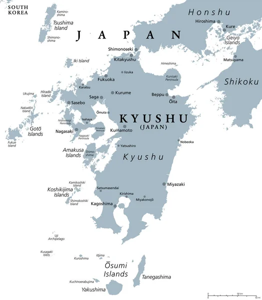
stock vector Kyushu, gray political map. One of the five main islands of Japan, southwest of Honshu and Shikoku, separated by Seto Inland Sea. With Tsushima Island, Goto, Amakusa, Koshikijima and Osumi Islands.

Kyushu, Gray Political Map. One Of The Five Main Islands Of Japan, Southwest Of Honshu And Shikoku, Separated By Seto Inland Sea. With Tsushima Island, Goto, Amakusa, Koshikijima And Osumi Islands.

6000 × 6857
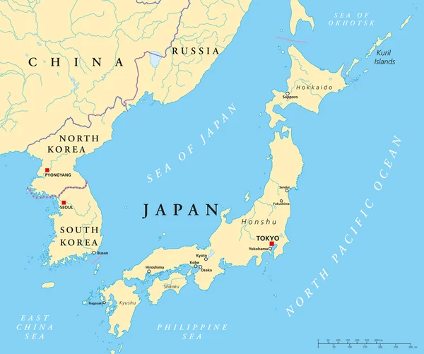
stock vector Japan, North Korea And South Korea Political Map

Japan, North Korea And South Korea Political Map

8996 × 7521
stock vector Japan - Highly detailed editable political map with labeling.

Japan - Highly Detailed Editable Political Map With Labeling.

4223 × 3533
stock vector Highly detailed editable political map with separated layers. Japan.

Highly Detailed Editable Political Map With Separated Layers. Japan.

4223 × 3533