photo free
Home Images Vectors Videos

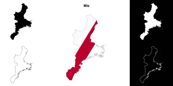
Stock image Mie Vector Map

stock vector 50 education concept filled icons

50 Education Concept Filled Icons

Vector, 1.58MB, 6944 × 6944 eps
stock vector Kansai region, or also Kinki region in Japan, multi colored political map. Southern-central region of main island Honshu, consisting of prefectures Hyogo, Mie, Nara, Osaka, Kyoto, Shiga, and Wakayama.

Kansai Region, Or Also Kinki Region In Japan, Multi Colored Political Map. Southern-central Region Of Main Island Honshu, Consisting Of Prefectures Hyogo, Mie, Nara, Osaka, Kyoto, Shiga, And Wakayama.

Vector, 3.65MB, 6000 × 6000 eps
stock vector Kansai region, or the Kinki region in Japan, political map. Southern-central region of the main island Honshu, consisting of the prefectures Hyogo, Mie, Nara, Osaka, Kyoto, Shiga, and Wakayama. Vector

Kansai Region, Or The Kinki Region In Japan, Political Map. Southern-central Region Of The Main Island Honshu, Consisting Of The Prefectures Hyogo, Mie, Nara, Osaka, Kyoto, Shiga, And Wakayama. Vector

Vector, 5.8MB, 6000 × 6000 eps
stock vector Mie prefecture outline map set

Mie Prefecture Outline Map Set

Vector, 2.2MB, 6000 × 3000 eps
stock vector Kansai region, or the Kinki region in Japan, gray political map. Southern-central region of the main island Honshu, consisting of the prefectures Hyogo, Mie, Nara, Osaka, Kyoto, Shiga, and Wakayama.

Kansai Region, Or The Kinki Region In Japan, Gray Political Map. Southern-central Region Of The Main Island Honshu, Consisting Of The Prefectures Hyogo, Mie, Nara, Osaka, Kyoto, Shiga, And Wakayama.

Vector, 3.78MB, 6000 × 6000 eps
Page 1 >> Next