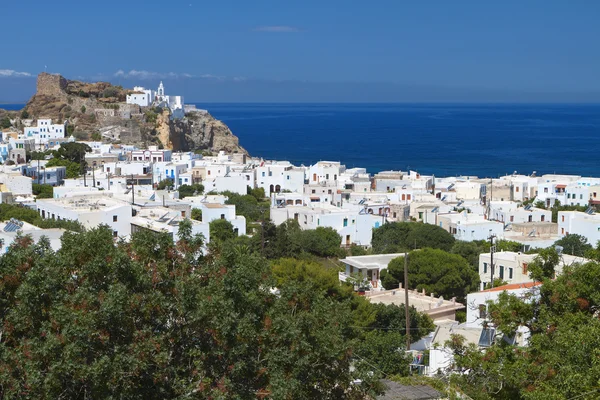
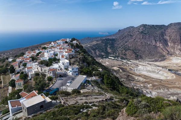
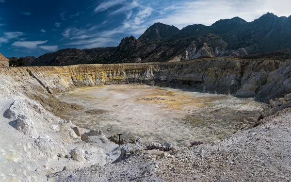
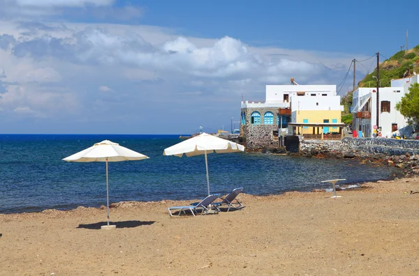
photo free
Home Images Vectors Videos

Stock image Nisiros

stock image Mandraki village at Nyssiros island in Greece

Mandraki Village At Nyssiros Island In Greece

Image, 13.92MB, 4752 × 3168 jpg
stock vector Dodecanese, political map. Group of Greek islands in the southeastern Aegean Sea and Eastern Mediterranean, off the coast of Turkey. Rhodes is the dominant island since antiquity. Illustration. Vector

Dodecanese, Political Map. Group Of Greek Islands In The Southeastern Aegean Sea And Eastern Mediterranean, Off The Coast Of Turkey. Rhodes Is The Dominant Island Since Antiquity. Illustration. Vector

Vector, 4.68MB, 7722 × 6000 eps
stock image Mandraki village at Nyssiros island in Greece

Mandraki Village At Nyssiros Island In Greece

Image, 8.86MB, 4555 × 3019 jpg
stock image Narrow street in the village, Nisiros island, Greece

Narrow Street In The Village, Nisiros Island, Greece

Image, 9.52MB, 4899 × 3744 jpg
stock image Mandraki village at Nyssiros island in Greece

Mandraki Village At Nyssiros Island In Greece

Image, 8.32MB, 4752 × 3168 jpg
stock image Volcano in Greece

Volcano In Greece

Image, 16.17MB, 5000 × 3337 jpg
stock image Houses oa a seashore of Nisyros Island

Houses Oa A Seashore Of Nisyros Island

Image, 10.93MB, 5184 × 3456 jpg
stock image beautiful Greek islands - Nisyros (Dodecanese) sunset over Mandraki

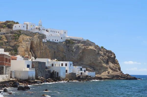
Beautiful Greek Islands - Nisyros (Dodecanese) Sunset Over Mandraki

Image, 29.69MB, 10383 × 4616 jpg
stock image Nikeia village at Nyssiros island in Greece

Nikeia Village At Nyssiros Island In Greece

Image, 11.52MB, 4718 × 3118 jpg
stock image Mandraki village on Nisyros Island

Mandraki Village On Nisyros Island

Image, 8.66MB, 5184 × 3456 jpg
stock image Volcano in Greece

Volcano In Greece

Image, 13.11MB, 5000 × 3339 jpg
stock vector South Aegean Volcanic Arc map. Chain of volcanoes formed by plate tectonics, caused by subduction of the African beneath the Eurasian plate, raising the Aegean arc across what is now the Aegean Sea.

South Aegean Volcanic Arc Map. Chain Of Volcanoes Formed By Plate Tectonics, Caused By Subduction Of The African Beneath The Eurasian Plate, Raising The Aegean Arc Across What Is Now The Aegean Sea.

Vector, 1.39MB, 9000 × 6000 eps
stock image Volcano in Greece

Volcano In Greece

Image, 13.37MB, 5000 × 3128 jpg
stock image Beach at Nyssiros island in Greece

Beach At Nyssiros Island In Greece

Image, 11.06MB, 4717 × 3118 jpg
stock vector Dodecanese islands, gray political map. Greek island group in the southeastern Aegean Sea and Eastern Mediterranean  off the coast of Turkey. Rhodes is the most dominant island since antiquity. Vector

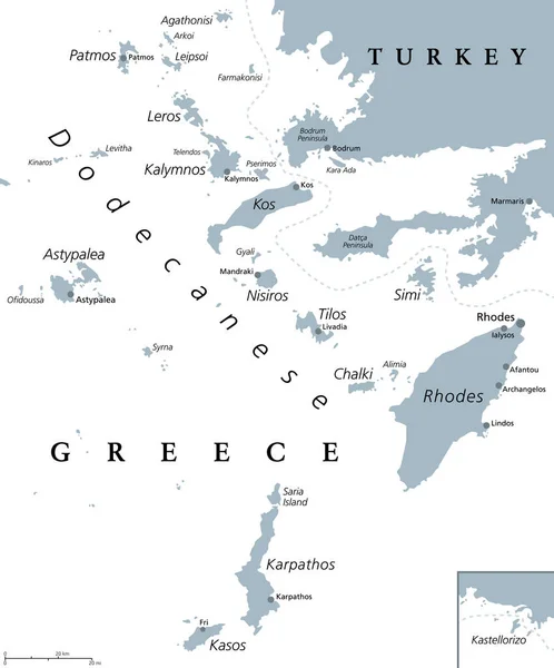
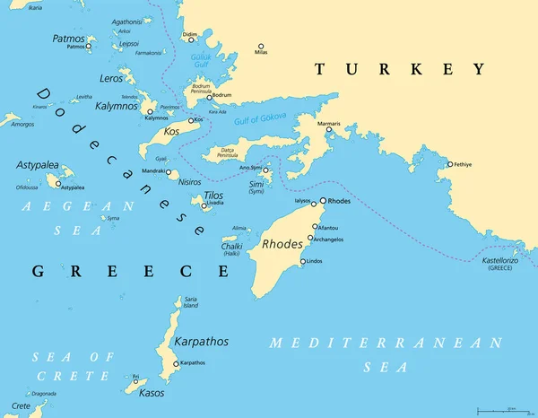
Dodecanese Islands, Gray Political Map. Greek Island Group In The Southeastern Aegean Sea And Eastern Mediterranean Off The Coast Of Turkey. Rhodes Is The Most Dominant Island Since Antiquity. Vector

Vector, 2.47MB, 6000 × 7226 eps
stock image Gyali islet at Nyssiros island in Greece

Gyali Islet At Nyssiros Island In Greece

Image, 9.27MB, 4682 × 3070 jpg
stock image Nyssiros island in Greece

Nyssiros Island In Greece

Image, 15.86MB, 4862 × 3847 jpg
Page 1 >> Next