
Stock image Norfolk Outline Map
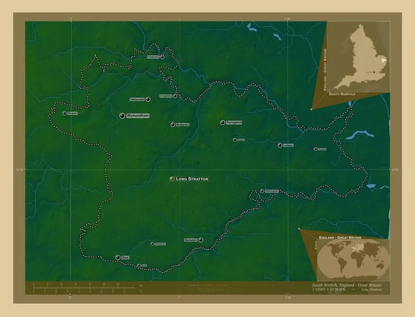
South Norfolk, Non Metropolitan District Of England - Great Britain. Colored Elevation Map With Lakes And Rivers. Locations And Names Of Major Cities Of The Region. Corner Auxiliary Location Maps
Image, 6.44MB, 4930 × 3770 jpg
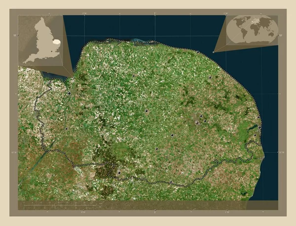
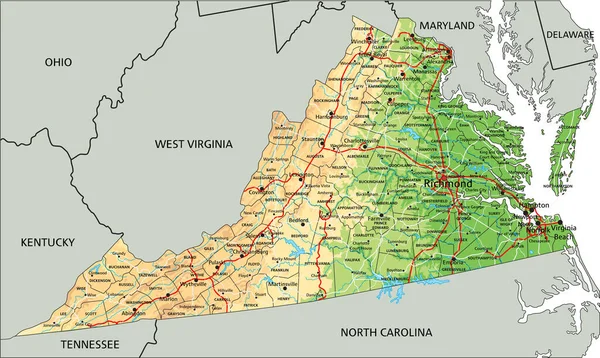
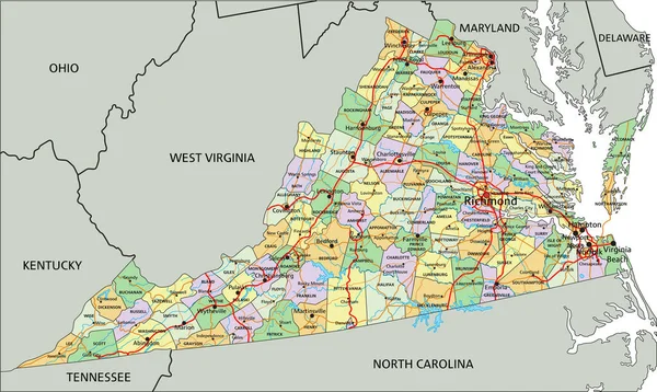
Norfolk, Administrative County Of England - Great Britain. High Resolution Satellite Map. Locations Of Major Cities Of The Region. Corner Auxiliary Location Maps
Image, 9.85MB, 4930 × 3770 jpg
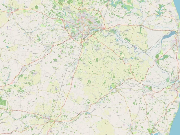
South Norfolk, Non Metropolitan District Of England - Great Britain. Open Street Map
Image, 6.82MB, 3840 × 2880 jpg


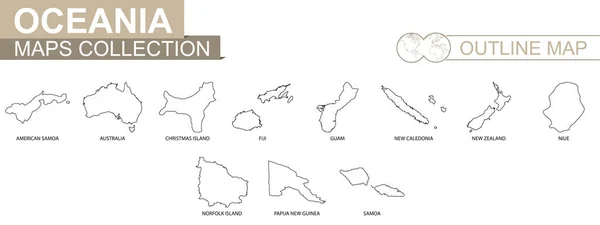
Outline Maps Of Oceanian Countries Collection, Black Lined Vector Map.
Vector, 1.86MB, 8000 × 3000 eps
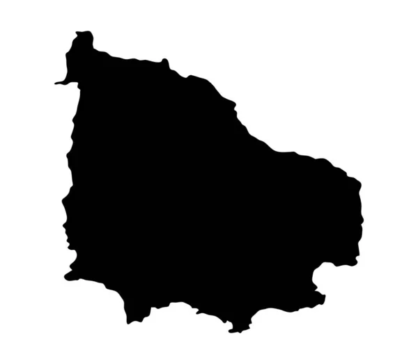
Norfolk Island Map Silhouette Region, Territory, Black Shape Style Illustration. Good Use For Sign, Symbol, Icon, Logo, Mascot, Or Any Design You Want.
Vector, 0.51MB, 4692 × 4092 eps

United States, Norfolk Flat Landmarks Vector Illustration. United States, Norfolk Line City With Famous Travel Sights, Skyline, Design.
Vector, 3.12MB, 6000 × 3000 eps


Norfolk, Administrative County Of England - Great Britain. Elevation Map Colored In Wiki Style With Lakes And Rivers
Image, 5.83MB, 3840 × 2880 jpg


Symbol Map Of The Administrative County Norfolk (United Kingdom) Showing The State/province With A Pattern Of Black Squares Like A Chessboard
Vector, 0.61MB, 6000 × 4090 eps

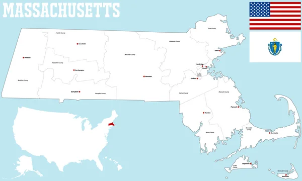
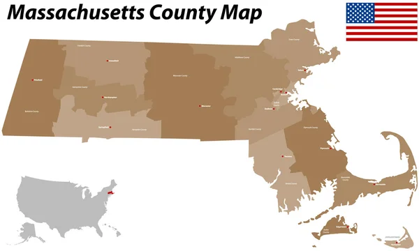
Map Of Norfolk County In Massachusetts State On White Background. Single County Map Highlighted By Black Colour On Massachusetts Map. UNITED STATES, US
Image, 4.1MB, 8000 × 6667 jpg


Norfolk County (Canada, Ontario Province, North America) Map Vector Illustration, Scribble Sketch Norfolk Map
Vector, 1.46MB, 7087 × 4726 eps

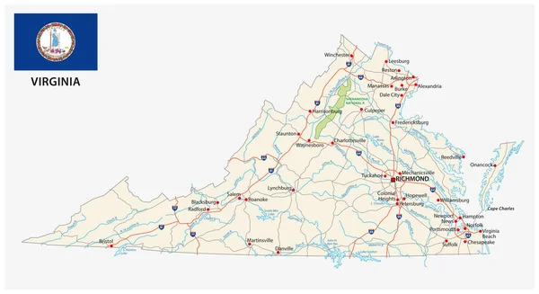
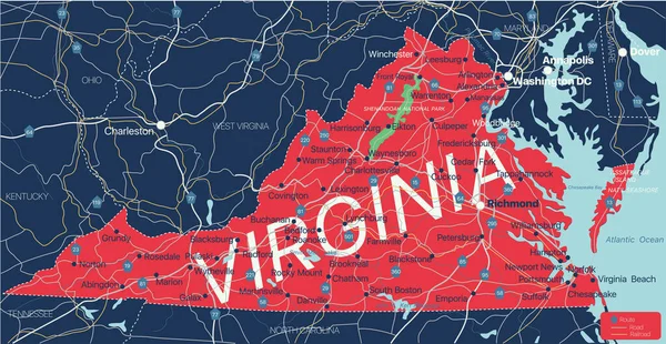
Norfolk Independent City Location Highlighted By Black Color On Virginia State Map, United States, Usa, Us
Image, 4.46MB, 8000 × 5334 jpg

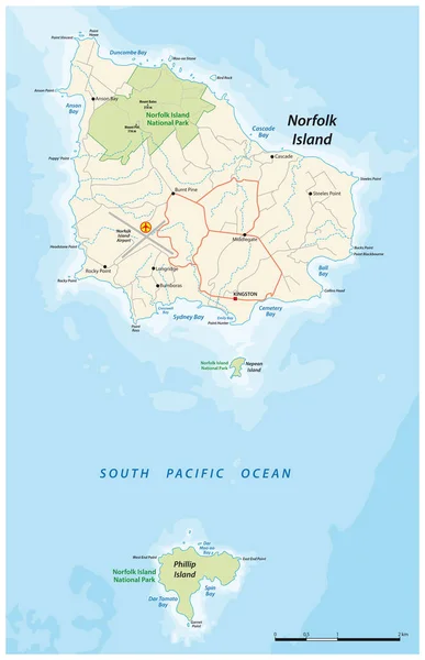
Geographic Map Of Norfolk Island. A Small Inhabited Island Located In The Pacific Ocean. Isolated Vector On White Background.
Vector, 0.31MB, 5727 × 3277 eps

Map Of Norfolk County In Massachusetts State On White Background. Single County Map Highlighted By Black Colour On Massachusetts Map. UNITED STATES, US
Image, 4.4MB, 8000 × 6667 jpg


Abstract Map Of Norfolk Island Showing The Country With Concentric Rings In Rainbow Colors.
Vector, 0.6MB, 2400 × 2589 eps

Abstract Map Of Norfolk Island Showing The Area Ot The Country With Concentric Rings In Rainbow Colors Like A Shooting Target.
Vector, 0.67MB, 2400 × 2662 eps
Page 1 >> Next