
Stock image Norfolk, administrative county of England - Great Britain. Elevation map colored in wiki style with lakes and rivers

Published: Apr.21, 2023 15:00:55
Author: Yarr65
Views: 8
Downloads: 1
File type: image / jpg
File size: 5.83 MB
Orginal size: 3840 x 2880 px
Available sizes:
Level: bronze
Similar stock images

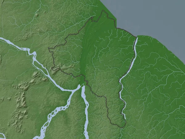
Pomeroon-Supenaam, Region Of Guyana. Elevation Map Colored In Wiki Style With Lakes And Rivers
3840 × 2880

Norfolk, Administrative County Of England - Great Britain. Colored Elevation Map With Lakes And Rivers
3840 × 2880

East Midlands, Region Of United Kingdom. Elevation Map Colored In Wiki Style With Lakes And Rivers
3840 × 2880

Demerara-Mahaica, Region Of Guyana. Elevation Map Colored In Wiki Style With Lakes And Rivers
3840 × 2880
Essequibo Islands-West Demerara, Region Of Guyana. Elevation Map Colored In Wiki Style With Lakes And Rivers
3840 × 2880


