photo free
Home Images Vectors Videos

Stock image Platte County Map

stock vector Nebraska County Map

Nebraska County Map

Vector, 0.76MB, 6000 × 3000 ai
stock vector Nebraska county map

Nebraska County Map

Vector, 0.8MB, 6000 × 3000 ai
stock vector Denver Vector Map

Denver Vector Map

Vector, 7.27MB, 8000 × 8000 eps
stock vector Nebraska, U.S. state, subdivided into 93 counties, gray political map with borders and county names. Triply landlocked state in the Midwestern region of United States, nicknamed The Cornhusker State.

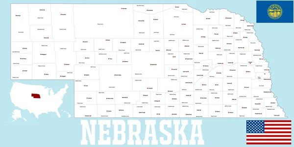
Nebraska, U.S. State, Subdivided Into 93 Counties, Gray Political Map With Borders And County Names. Triply Landlocked State In The Midwestern Region Of United States, Nicknamed The Cornhusker State.

Vector, 1.66MB, 9000 × 4645 eps
stock vector Nebraska, U.S. state, subdivided into 93 counties,multi colored political map with capital Lincoln, borders and county names.State in the Midwestern region of the United States. The Cornhusker State.

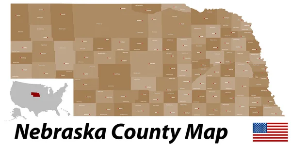
Nebraska, U.S. State, Subdivided Into 93 Counties,multi Colored Political Map With Capital Lincoln, Borders And County Names.State In The Midwestern Region Of The United States. The Cornhusker State.

Vector, 1.68MB, 9000 × 4645 eps
stock vector Nebraska, U.S. state, subdivided into 93 counties, political map with borders and county names. Triply landlocked state in the Midwestern region of United States, nicknamed The Cornhusker State.

Nebraska, U.S. State, Subdivided Into 93 Counties, Political Map With Borders And County Names. Triply Landlocked State In The Midwestern Region Of United States, Nicknamed The Cornhusker State.

Vector, 2.06MB, 9000 × 5220 eps
Page 1 >> Next