photo free
Home Images Vectors Videos

Stock vector Nebraska, U.S. state, subdivided into 93 counties,multi colored political map with capital Lincoln, borders and county names.State in the Midwestern region of the United States. The Cornhusker State.

Stock vector Nebraska, U.S. state, subdivided into 93 counties,multi colored political map with capital Lincoln, borders and county names.State in the Midwestern region of the United States. The Cornhusker State.
Published: Aug.29, 2024 11:13:47
Author: Furian
Views: 0
Downloads: 0
File type: vector / eps
File size: 1.68 MB
Orginal size: 9000 x 4645 px
Available sizes:
S
(500 x 258)
M
(1000 x 516)
L
(2000 x 1032)
XL
(9000 x 4645)
VECT
(9000 x 4645)
EL0
(9000 x 4645)
Level: silver
Download Vector
Vector topics:

Similar stock vectors

stock vector Colorful Nebraska political map with clearly labeled, separated layers. Vector illustration.

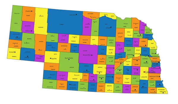
Colorful Nebraska Political Map With Clearly Labeled, Separated Layers. Vector Illustration.

5523 × 3229
stock vector Colorful Oklahoma political map with clearly labeled, separated layers. Vector illustration.

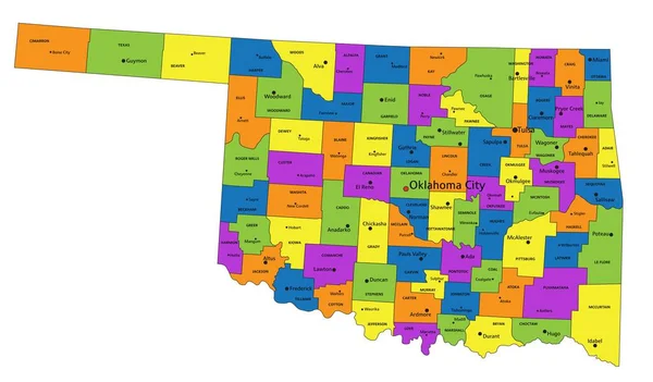
Colorful Oklahoma Political Map With Clearly Labeled, Separated Layers. Vector Illustration.

7004 × 4105
stock vector Iowa counties, gray political map with borders and county names. Landlocked state in the Midwestern region of the United States, subdivided into 99 counties. Nicknamed The Hawkeye State. Illustration

Iowa Counties, Gray Political Map With Borders And County Names. Landlocked State In The Midwestern Region Of The United States, Subdivided Into 99 Counties. Nicknamed The Hawkeye State. Illustration

9000 × 5967
stock vector Colorful Kansas political map with clearly labeled, separated layers. Vector illustration.

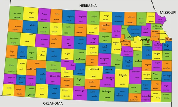
Colorful Kansas Political Map With Clearly Labeled, Separated Layers. Vector Illustration.

5949 × 3606
stock vector Colorful South Dakota political map with clearly labeled, separated layers. Vector illustration.

Colorful South Dakota Political Map With Clearly Labeled, Separated Layers. Vector Illustration.

4518 × 3419
stock vector Colorful New Mexico political map with clearly labeled, separated layers. Vector illustration.

Colorful New Mexico Political Map With Clearly Labeled, Separated Layers. Vector Illustration.

6059 × 6124
stock vector South Dakota, U.S. state, subdivided into 66 counties, gray political map with borders and county names. State in the North Central region of the United States, nicknamed The Mount Rushmore State.

South Dakota, U.S. State, Subdivided Into 66 Counties, Gray Political Map With Borders And County Names. State In The North Central Region Of The United States, Nicknamed The Mount Rushmore State.

9000 × 5923
stock vector Colorful Iowa political map with clearly labeled, separated layers. Vector illustration.

Colorful Iowa Political Map With Clearly Labeled, Separated Layers. Vector Illustration.

4354 × 3357