photo free
Home Images Vectors Videos

Stock image Scott Border

stock image Scotts View in the Scottish Borders, Scotland

Scotts View In The Scottish Borders, Scotland

Image, 11.92MB, 4575 × 3431 jpg
stock image Scott's View

Scott's View

Image, 9.41MB, 3872 × 2592 jpg
stock image Old palace beautiful view colorful painting looks like picture.

Old Palace Beautiful View Colorful Painting Looks Like Picture.

Image, 24.56MB, 5600 × 3724 jpg
stock image Scott's View

Scott's View

Image, 2.86MB, 3208 × 2081 jpg
stock image Eildon Hills from Scotts View with river Tweed

Eildon Hills From Scotts View With River Tweed

Image, 4.01MB, 3008 × 2000 jpg
stock image Participating in Chelva MTB XCO open

Participating In Chelva MTB XCO Open

Image, 5.14MB, 3300 × 2200 jpg
stock image Abbotsford the home of Sir Walter Scott on the River Tweed in the Scottish Borders

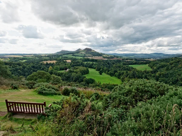
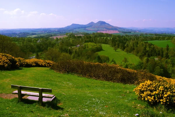
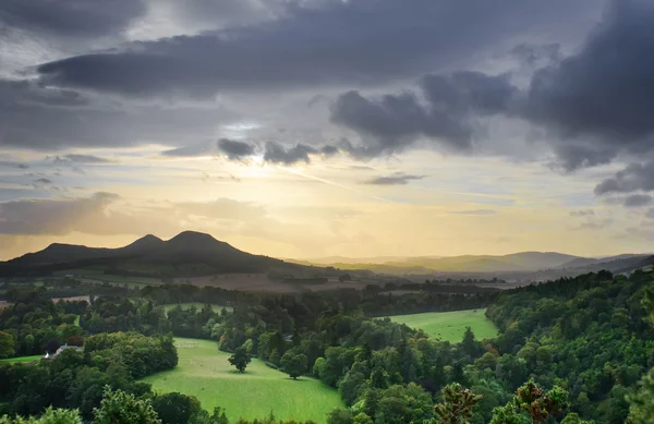
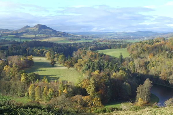
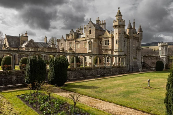
Abbotsford The Home Of Sir Walter Scott On The River Tweed In The Scottish Borders

Image, 25.76MB, 7586 × 5060 jpg
stock vector Iowa counties, gray political map with borders and county names. Landlocked state in the Midwestern region of the United States, subdivided into 99 counties. Nicknamed The Hawkeye State. Illustration

Iowa Counties, Gray Political Map With Borders And County Names. Landlocked State In The Midwestern Region Of The United States, Subdivided Into 99 Counties. Nicknamed The Hawkeye State. Illustration

Vector, 1.96MB, 9000 × 5967 eps
stock vector Iowa, U.S. state, subdivided into 99 counties, multi colored political map with capital Des Moines, borders and county names. Midwestern region of the United States, nicknamed The Hawkeye State.

Iowa, U.S. State, Subdivided Into 99 Counties, Multi Colored Political Map With Capital Des Moines, Borders And County Names. Midwestern Region Of The United States, Nicknamed The Hawkeye State.

Vector, 1.98MB, 9000 × 5967 eps
stock vector Iowa counties, political map with borders and county names. Landlocked state in the Midwestern region of the United States, subdivided into 99 counties. Nicknamed The Hawkeye State. Illustration

Iowa Counties, Political Map With Borders And County Names. Landlocked State In The Midwestern Region Of The United States, Subdivided Into 99 Counties. Nicknamed The Hawkeye State. Illustration

Vector, 2.29MB, 9000 × 6000 eps
stock vector Scott and Seringapatam Reefs (Western Australia) outline map set

Scott And Seringapatam Reefs (Western Australia) Outline Map Set

Vector, 0.32MB, 6000 × 3000 eps
stock image Map of Scott County in Virginia state on white background. single County map highlighted by black colour on Virginia map. UNITED STATES, US

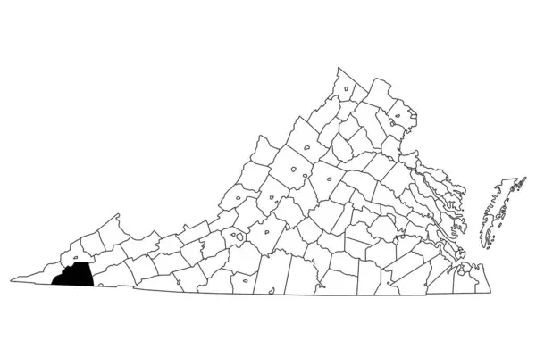
Map Of Scott County In Virginia State On White Background. Single County Map Highlighted By Black Colour On Virginia Map. UNITED STATES, US

Image, 4.45MB, 8000 × 5334 jpg
stock image Map of Scott County in Illinois state on white background. single County map highlighted by black colour on Illinois map. UNITED STATES, US

Map Of Scott County In Illinois State On White Background. Single County Map Highlighted By Black Colour On Illinois Map. UNITED STATES, US

Image, 5.19MB, 8000 × 8000 jpg
Page 1 >> Next