Home
Images
Vectors
Videos
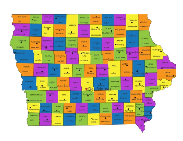
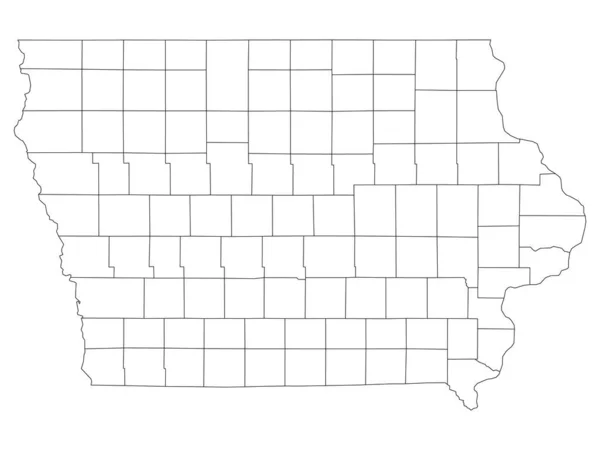
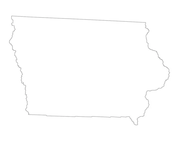
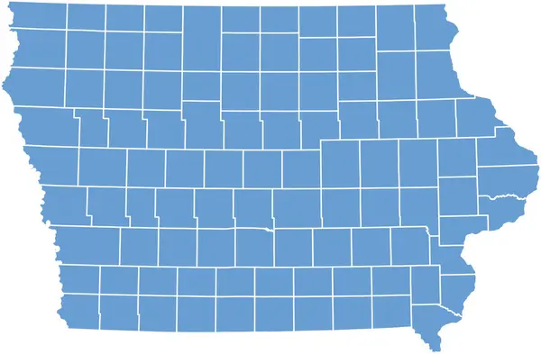
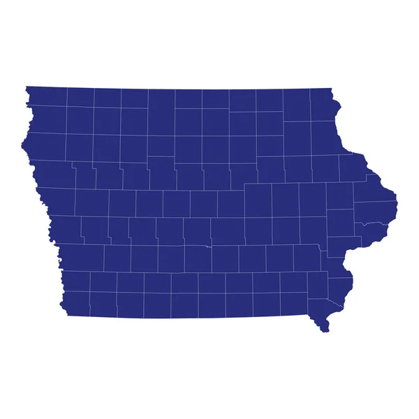
Stock vector Iowa counties, gray political map with borders and county names. Landlocked state in the Midwestern region of the United States, subdivided into 99 counties. Nicknamed The Hawkeye State. Illustration
Published:
Jul.28, 2024 07:02:54
Author:
Furian
Views:
0
Downloads:
0
File type:
vector
/
eps
File size:
1.96 MB
Orginal size:
9000
x
5967
px
Available sizes:
S
(500 x 332)
M
(1000 x 663)
L
(2000 x 1326)
XL
(9000 x 5967)
VECT
(9000 x 5967)
EL0
(9000 x 5967)
Level:
silver
Download Vector
Vector topics:
Vector
Illustration
Isolated
Silhouette
Border
Gray
Structure
Us
Usa
Name
Country
Map
Cartography
Geography
Area
Land
Overview
State
America
Boundary
Administrative
States
Region
Division
Federal
Atlas
Americas
Subdivision
County
Midwest
Sioux
Mapping
Iowa
Johnson
Linn
Scott
Dallas
Ia
Counties
Midwestern
Travel Destination
United States
Polk
Subdivided
Political Map
Black Hawk
Hawkeye
Woodbury
Dubuque
Hawkeye State
Similar stock vectors
Accurate Map Of Iowa
5000 × 4000
Detailed Map Of Iowa State,in Vector Format,with County Borders,roads And Major Cities
5000 × 3438
Blank Iowa Vector Map Silhouette Illustration Isolated On White Background. High Detailed Illustration. United State Of America Country. Empty Editable Iowa Line Contour Map.
5509 × 4361
Iowa County Of Iowa Map
7000 × 4587
High Quality Map Of Iowa Is A State Of United States Of America With Borders Of The Counties
4000 × 4000
Colorful Iowa Political Map With Clearly Labeled, Separated Layers. Vector Illustration.
4354 × 3357
White Outline Counties Map Of US State Of Iowa
4800 × 3600