photo free
Home Images Vectors Videos

Stock image Shikoku Region

stock vector Japan Shikoku region map with watercolor texture / traslation of Japanese

Japan Shikoku Region Map With Watercolor Texture / Traslation Of Japanese "Shikoku Map"

Vector, 7.21MB, 5000 × 3750 eps
stock vector Japan Shikoku region antique map with watercolor texture

Japan Shikoku Region Antique Map With Watercolor Texture

Vector, 14.33MB, 5000 × 3750 eps
stock vector Japan Map Colorful Symbol Icon

Japan Map Colorful Symbol Icon

Vector, 3.14MB, 5245 × 3544 eps
stock vector Japan political map divide by state colorful outline simplicity style.

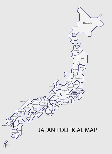
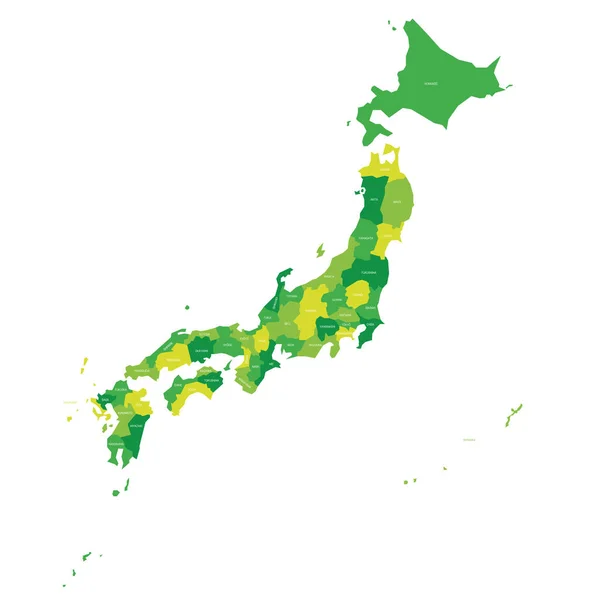
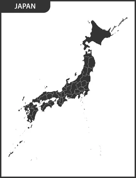
Japan Political Map Divide By State Colorful Outline Simplicity Style.

Vector, 5.47MB, 8086 × 11136 eps
stock vector Japan - map of prefectures

Japan - Map Of Prefectures

Vector, 1.1MB, 6000 × 6000 eps
stock vector Japan - blank map of prefectures

Japan - Blank Map Of Prefectures

Vector, 1.32MB, 6000 × 6000 eps
stock vector Vector map of Japan and 47 prefectures COLOR

Vector Map Of Japan And 47 Prefectures COLOR

Vector, 0.93MB, 11692 × 5551 ai
stock vector Map of Japanese Prefectures. brush stroke line.

Map Of Japanese Prefectures. Brush Stroke Line.

Vector, 5.32MB, 8268 × 8268 eps
stock vector Japan administrative map. Vector flat

Japan Administrative Map. Vector Flat

Vector, 5.72MB, 7000 × 7000 eps
stock vector Map of Japan color-coded into 8 areas

Map Of Japan Color-coded Into 8 Areas

Vector, 1.79MB, 5000 × 4375 eps
stock image Map prefectures Japan

Map Prefectures Japan

Image, 0.91MB, 4000 × 4000 jpg
stock vector Map of Japan color-coded into 8 areas

Map Of Japan Color-coded Into 8 Areas

Vector, 1.83MB, 5000 × 5000 eps
stock image kagawa flag of Troms prefecture on map with administrative divisions and borders of japan

Kagawa Flag Of Troms Prefecture On Map With Administrative Divisions And Borders Of Japan

Image, 0.73MB, 4576 × 4531 jpg
stock image Mountain road winds through Iya Valley village at sunrise. High quality photo

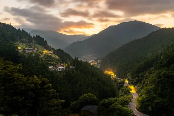
Mountain Road Winds Through Iya Valley Village At Sunrise. High Quality Photo

Image, 24.99MB, 8192 × 5464 jpg
stock vector japan

Japan

Vector, 2.38MB, 4000 × 4000 eps
stock image flag of fukui prefecture on map with administrative divisions and borders of japan

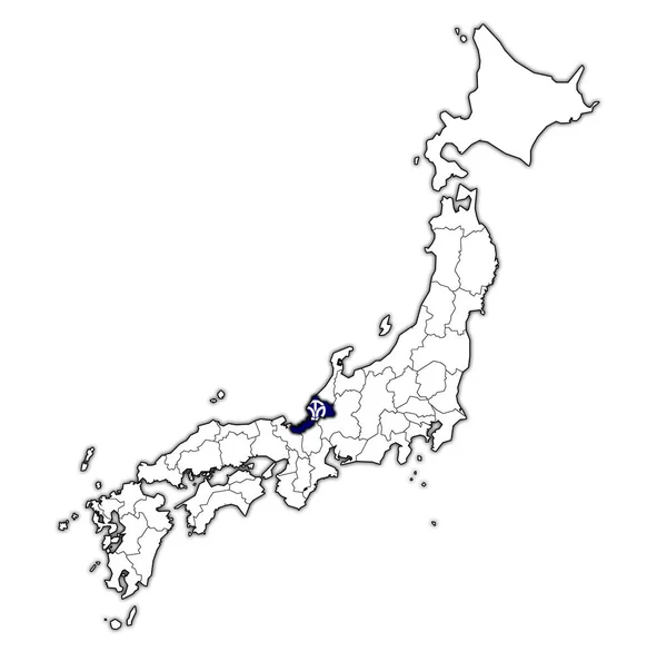
Flag Of Fukui Prefecture On Map With Administrative Divisions And Borders Of Japan

Image, 0.74MB, 4576 × 4531 jpg
stock vector map of Japanese Prefectures. brush stroke illustrations.

Map Of Japanese Prefectures. Brush Stroke Illustrations.

Vector, 5.78MB, 7087 × 7087 eps
stock vector Japan map icon. Flat vector illustration. Japan sign symbol with shadow on white background.

Japan Map Icon. Flat Vector Illustration. Japan Sign Symbol With Shadow On White Background.

Vector, 1.1MB, 7000 × 7000 eps
stock vector Detailed vector map Regions and prefectures of Japan

Detailed Vector Map Regions And Prefectures Of Japan

Vector, 4.89MB, 7677 × 5235 eps
stock image flag of tottori prefecture on map with administrative divisions and borders of japan

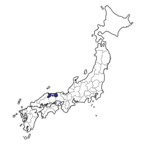
Flag Of Tottori Prefecture On Map With Administrative Divisions And Borders Of Japan

Image, 0.73MB, 4576 × 4531 jpg
stock image flag of tokushima prefecture on map with administrative divisions and borders of japan

Flag Of Tokushima Prefecture On Map With Administrative Divisions And Borders Of Japan

Image, 0.74MB, 4576 × 4531 jpg
stock image flag of akita prefecture on map with administrative divisions and borders of japan

Flag Of Akita Prefecture On Map With Administrative Divisions And Borders Of Japan

Image, 0.75MB, 4576 × 4531 jpg
stock image flag of nagasaki prefecture on map with administrative divisions and borders of japan

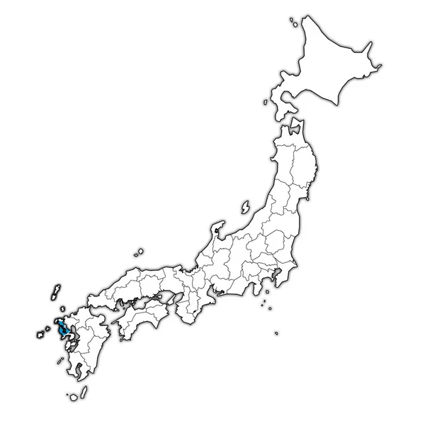
Flag Of Nagasaki Prefecture On Map With Administrative Divisions And Borders Of Japan

Image, 0.73MB, 4576 × 4531 jpg
stock image territory of japan prefectures on map with administrative divisions isolated over white

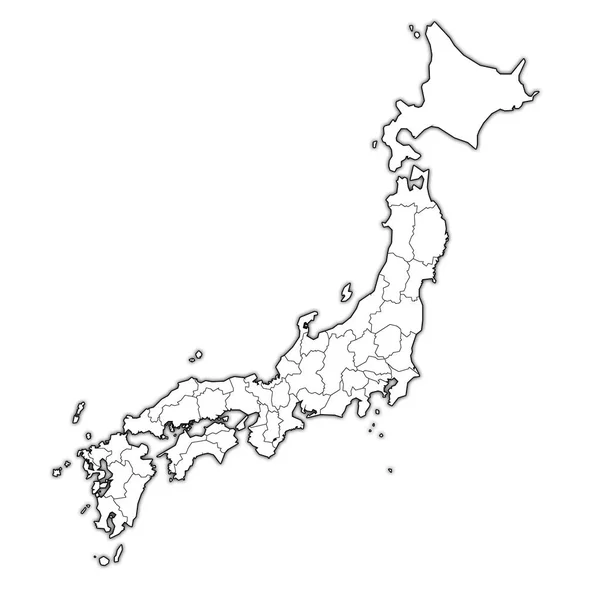
Territory Of Japan Prefectures On Map With Administrative Divisions Isolated Over White

Image, 0.68MB, 4576 × 4531 jpg
stock vector  Japan map, new political detailed map, separate individual regions, with state names, isolated on white background 3D vector

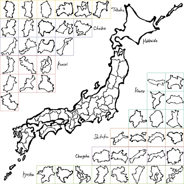
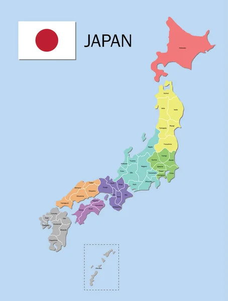
Japan Map, New Political Detailed Map, Separate Individual Regions, With State Names, Isolated On White Background 3D Vector

Vector, 8.25MB, 4000 × 4000 eps
stock image Oti village flag. Kochi Prefecture. Japan

Oti Village Flag. Kochi Prefecture. Japan

Image, 1.79MB, 5555 × 4152 jpg
stock vector Japan map realistic and 3D Japanese archipelago, blue, green, gray vector illustration background material set

Japan Map Realistic And 3D Japanese Archipelago, Blue, Green, Gray Vector Illustration Background Material Set

Vector, 4.24MB, 6400 × 2800 eps
stock vector Regions of Japan, multi colored political map. The eight traditional units used for statistical and other purposes. Hokkaido, Tohoku, Kanto, Chubu, Kansai, Chugoku, Shikoku, and Kyushu with Okinawa.

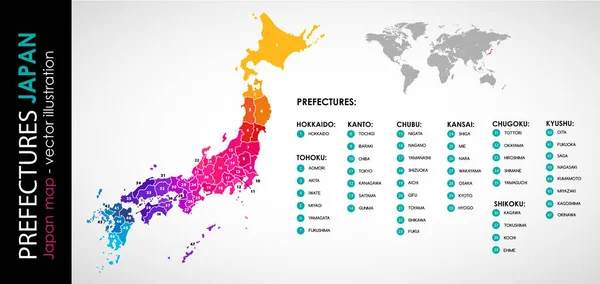
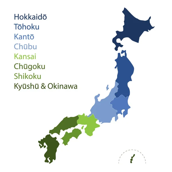
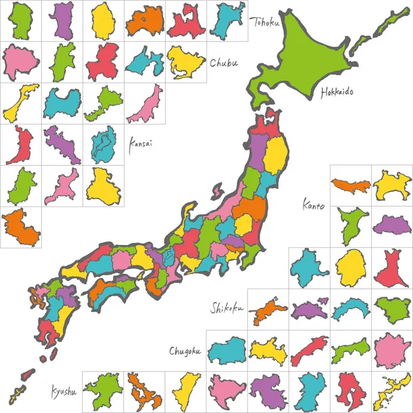
Regions Of Japan, Multi Colored Political Map. The Eight Traditional Units Used For Statistical And Other Purposes. Hokkaido, Tohoku, Kanto, Chubu, Kansai, Chugoku, Shikoku, And Kyushu With Okinawa.

Vector, 3.79MB, 6000 × 6000 eps
stock image hiroshima flag of Troms prefecture on map with administrative divisions and borders of japan

Hiroshima Flag Of Troms Prefecture On Map With Administrative Divisions And Borders Of Japan

Image, 0.75MB, 4576 × 4531 jpg
stock image flag of aichi prefecture on map with administrative divisions and borders of japan

Flag Of Aichi Prefecture On Map With Administrative Divisions And Borders Of Japan

Image, 0.75MB, 4576 × 4531 jpg
stock image flag of gunma prefecture on map with administrative divisions and borders of japan

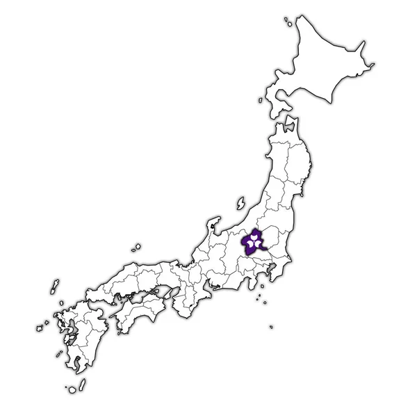
Flag Of Gunma Prefecture On Map With Administrative Divisions And Borders Of Japan

Image, 0.75MB, 4576 × 4531 jpg
stock image flag of gifu prefecture on map with administrative divisions and borders of japan

Flag Of Gifu Prefecture On Map With Administrative Divisions And Borders Of Japan

Image, 0.74MB, 4576 × 4531 jpg
stock image flag of saitama prefecture on map with administrative divisions and borders of japan

Flag Of Saitama Prefecture On Map With Administrative Divisions And Borders Of Japan

Image, 0.74MB, 4576 × 4531 jpg
stock vector Political map of Korean and Japanese region, South Korea, North Korea and Japan. Map with labeling on white background. Vector illustration

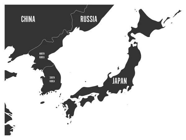
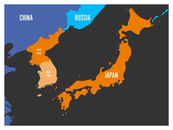
Political Map Of Korean And Japanese Region, South Korea, North Korea And Japan. Map With Labeling On White Background. Vector Illustration

Vector, 0.47MB, 6000 × 4500 eps
stock vector Japan - map of prefectures

Japan - Map Of Prefectures

Vector, 1.1MB, 6000 × 6000 eps
stock vector Japan - map of prefectures

Japan - Map Of Prefectures

Vector, 1.1MB, 6000 × 6000 eps
stock vector Kansai region, or also Kinki region in Japan, multi colored political map. Southern-central region of main island Honshu, consisting of prefectures Hyogo, Mie, Nara, Osaka, Kyoto, Shiga, and Wakayama.

Kansai Region, Or Also Kinki Region In Japan, Multi Colored Political Map. Southern-central Region Of Main Island Honshu, Consisting Of Prefectures Hyogo, Mie, Nara, Osaka, Kyoto, Shiga, And Wakayama.

Vector, 3.65MB, 6000 × 6000 eps
stock image flag of niigata prefecture on map with administrative divisions and borders of japan

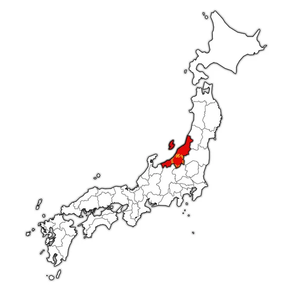
Flag Of Niigata Prefecture On Map With Administrative Divisions And Borders Of Japan

Image, 0.76MB, 4576 × 4531 jpg
stock image territory of japan prefectures on old map with administrative divisions

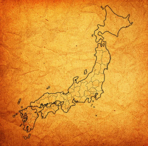
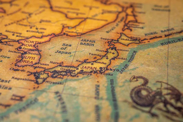
Territory Of Japan Prefectures On Old Map With Administrative Divisions

Image, 19.55MB, 4576 × 4531 jpg
stock vector Political map of Korean and Japanese region, South Korea, North Korea and Japan. Black outline map with black labeling on white background. Vector illustration

Political Map Of Korean And Japanese Region, South Korea, North Korea And Japan. Black Outline Map With Black Labeling On White Background. Vector Illustration

Vector, 0.67MB, 6000 × 4500 eps
stock vector Japan map. Color map of the provinces of Japan. Japan administrative map. Regions and prefectures.

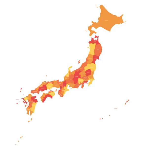
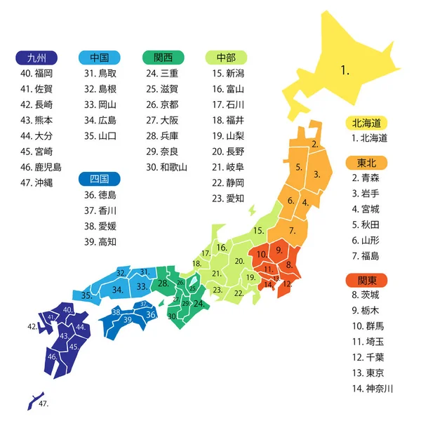
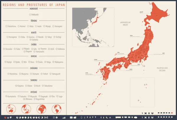
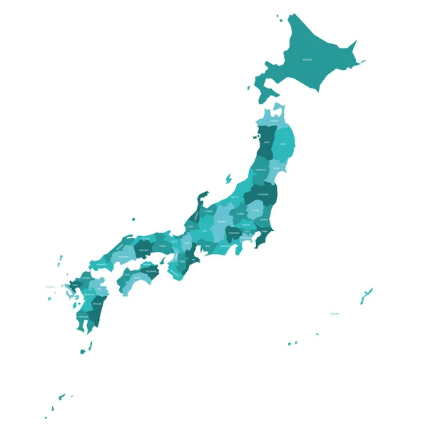
Japan Map. Color Map Of The Provinces Of Japan. Japan Administrative Map. Regions And Prefectures.

Vector, 5.62MB, 5248 × 6934 eps
stock image flag of tokyo prefecture on map with administrative divisions and borders of japan

Flag Of Tokyo Prefecture On Map With Administrative Divisions And Borders Of Japan

Image, 0.74MB, 4576 × 4531 jpg
stock image hyogo flag of Troms prefecture on map with administrative divisions and borders of japan

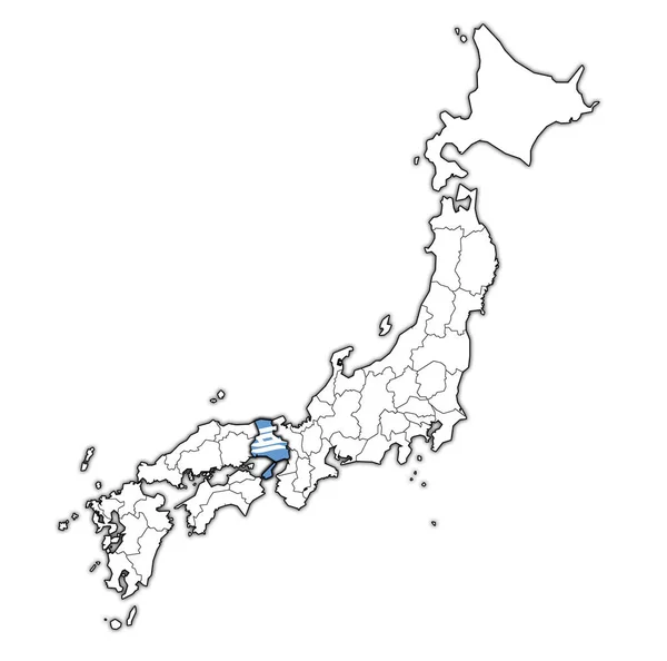
Hyogo Flag Of Troms Prefecture On Map With Administrative Divisions And Borders Of Japan

Image, 0.74MB, 4576 × 4531 jpg
stock vector The detailed map of the Japan with regions.

The Detailed Map Of The Japan With Regions.

Vector, 0.96MB, 5000 × 6500 eps
stock vector Map of South Korea, North Korea and Japan. Vector illustration

Map Of South Korea, North Korea And Japan. Vector Illustration

Vector, 0.44MB, 6000 × 4500 eps
stock image Japan on the map background

Japan On The Map Background

Image, 12.72MB, 6000 × 4000 jpg
stock image kanagawa flag of Troms prefecture on map with administrative divisions and borders of japan

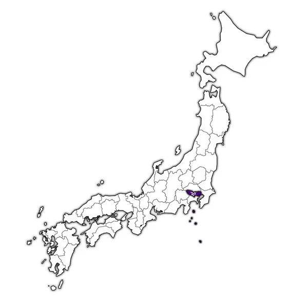
Kanagawa Flag Of Troms Prefecture On Map With Administrative Divisions And Borders Of Japan

Image, 0.74MB, 4576 × 4531 jpg
stock image nagano flag of Troms prefecture on map with administrative divisions and borders of japan

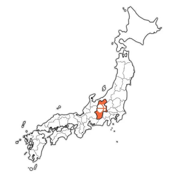
Nagano Flag Of Troms Prefecture On Map With Administrative Divisions And Borders Of Japan

Image, 0.75MB, 4576 × 4531 jpg
stock image ishikawa flag of Troms prefecture on map with administrative divisions and borders of japan

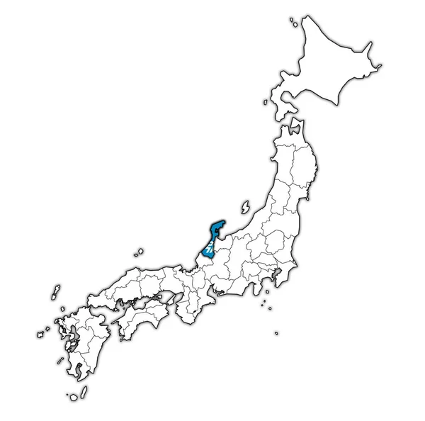
Ishikawa Flag Of Troms Prefecture On Map With Administrative Divisions And Borders Of Japan

Image, 0.75MB, 4576 × 4531 jpg
stock image flag of saga prefecture on map with administrative divisions and borders of japan

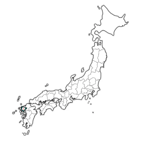
Flag Of Saga Prefecture On Map With Administrative Divisions And Borders Of Japan

Image, 0.74MB, 4576 × 4531 jpg
Page 1 >> Next