photo free
Home Images Vectors Videos

Stock image Southland Border Map

stock image Southland, regional council of New Zealand. Elevation map colored in wiki style with lakes and rivers. Locations of major cities of the region. Corner auxiliary location maps

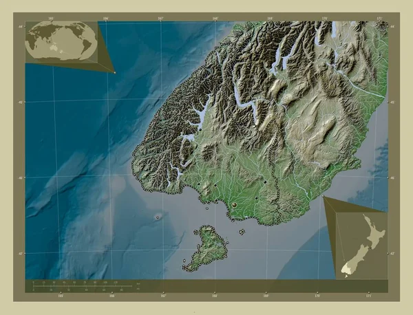
Southland, Regional Council Of New Zealand. Elevation Map Colored In Wiki Style With Lakes And Rivers. Locations Of Major Cities Of The Region. Corner Auxiliary Location Maps

Image, 7.75MB, 4930 × 3770 jpg
stock vector Gore blank outline map set

Gore Blank Outline Map Set

Vector, 0.77MB, 6000 × 3000 eps
stock vector Southland blank outline map set

Southland Blank Outline Map Set

Vector, 10.52MB, 6000 × 3000 eps
stock vector Southland Region map, administrative division of New Zealand. Vector illustration.

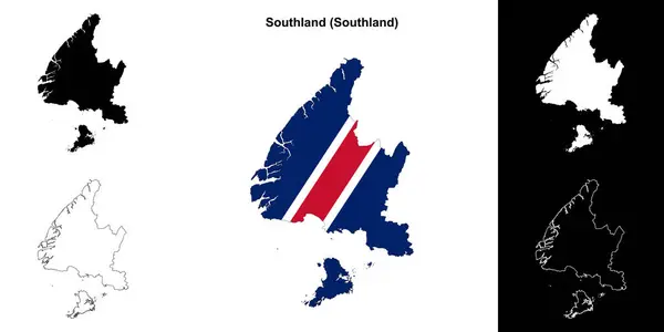
Southland Region Map, Administrative Division Of New Zealand. Vector Illustration.

Vector, 5.53MB, 8334 × 8334 eps
Page 1 >> Next