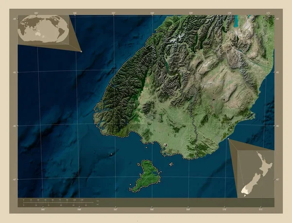
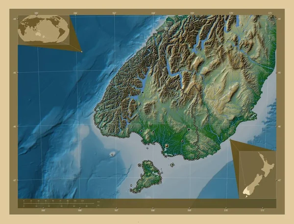
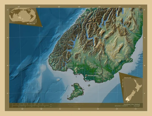
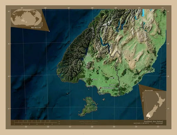
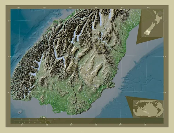
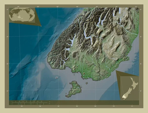
Stock image Southland, regional council of New Zealand. Elevation map colored in wiki style with lakes and rivers. Locations of major cities of the region. Corner auxiliary location maps
Published: Nov.02, 2022 14:15:08
Author: Yarr65
Views: 4
Downloads: 1
File type: image / jpg
File size: 7.75 MB
Orginal size: 4930 x 3770 px
Available sizes:
Level: bronze