photo free
Home Images Vectors Videos

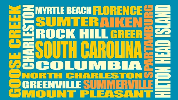
Stock image Sumter Border

stock vector South Carolina, SC, gray political map, with capital Columbia, largest cities and borders. State in the southeastern region of the United States of America. The Palmetto State.  Illustration. Vector.

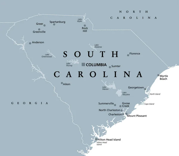
South Carolina, SC, Gray Political Map, With Capital Columbia, Largest Cities And Borders. State In The Southeastern Region Of The United States Of America. The Palmetto State. Illustration. Vector.

Vector, 2.61MB, 6906 × 6000 eps
stock vector South Carolina state cities list

South Carolina State Cities List

Vector, 8.18MB, 5500 × 3094 eps
stock vector South Carolina County Map

South Carolina County Map

Vector, 0.89MB, 5000 × 5000 ai
stock vector Alabama

Alabama

Vector, 0.74MB, 3600 × 5000 ai
stock vector South Carolina County Map

South Carolina County Map

Vector, 0.95MB, 5000 × 5000 ai
stock vector South Carolina counties, political map with borders and county names. State in the Southeastern region of the United States, subdivided into 46 counties. Nicknamed The Palmetto State. Illustration

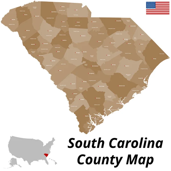
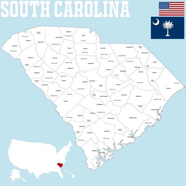
South Carolina Counties, Political Map With Borders And County Names. State In The Southeastern Region Of The United States, Subdivided Into 46 Counties. Nicknamed The Palmetto State. Illustration

Vector, 3.25MB, 7193 × 6000 eps
stock image Map of Sumter County in Florida state on white background. single County map highlighted by black colour on Florida map. UNITED STATES, US

Map Of Sumter County In Florida State On White Background. Single County Map Highlighted By Black Colour On Florida Map. UNITED STATES, US

Image, 5.84MB, 8000 × 8000 jpg
stock image Map of Sumter County in Georgia state on white background. single County map highlighted by black colour on Georgia map. UNITED STATES, US

Map Of Sumter County In Georgia State On White Background. Single County Map Highlighted By Black Colour On Georgia Map. UNITED STATES, US

Image, 6.56MB, 8000 × 8000 jpg
stock vector South Carolina counties, gray political map with borders and county names. State in the Southeastern region of the United States, subdivided into 46 counties. Nicknamed The Palmetto State. Vector

South Carolina Counties, Gray Political Map With Borders And County Names. State In The Southeastern Region Of The United States, Subdivided Into 46 Counties. Nicknamed The Palmetto State. Vector

Vector, 2.76MB, 7200 × 6000 eps
Page 1 >> Next