
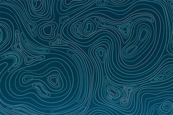
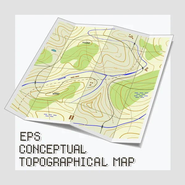
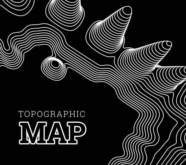
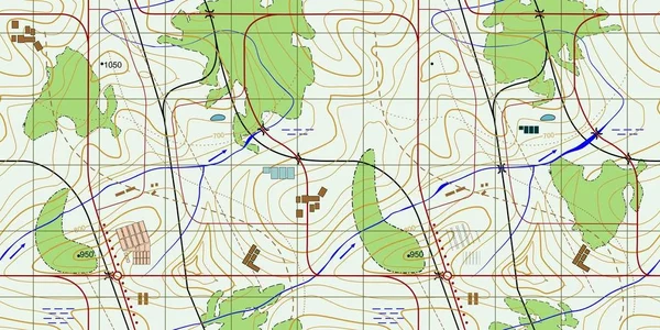
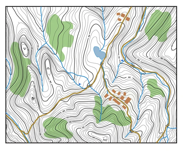
Stock image Topographical Map
Topographic Map Lines, Earth Relief, Contour Background. Geographic Grid, Elevation Map, Vector Abstract.
Vector, 0.86MB, 4167 × 4167 ai

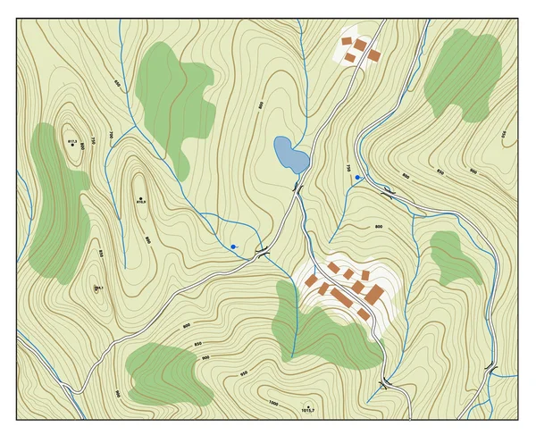
Topographic Map. Trail Mapping Grid, Contour Terrain Relief Line Texture. Cartography Concept
Vector, 1.58MB, 5701 × 4385 eps
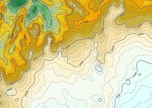
Topographic Map Backdrop. Conditional Geography Scheme And The Terrain Path. Contour Line Abstract Background.
Vector, 0.8MB, 7000 × 5000 eps
Abstract Topographic Contour In Lines And Contours. Curve Modern Lines. Graphic Concept For Your Design.
Vector, 0.71MB, 5323 × 3543 eps
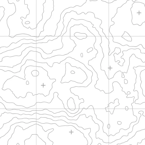
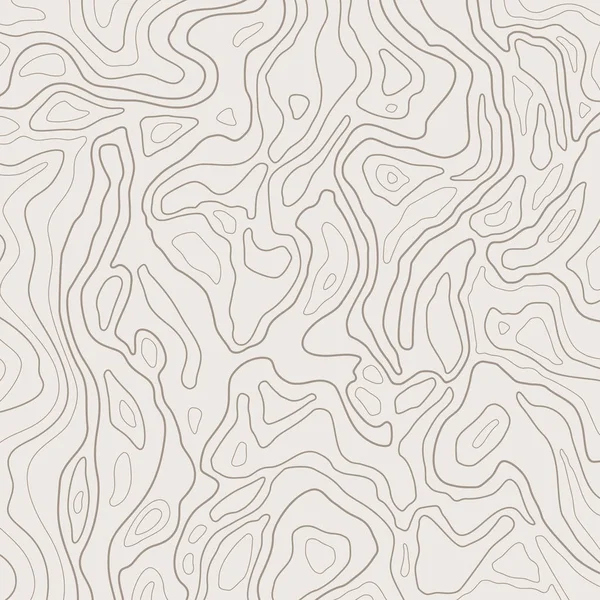
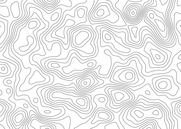
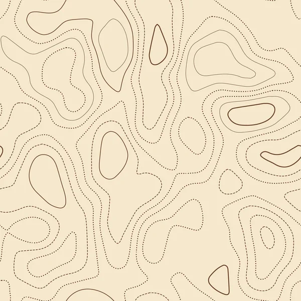
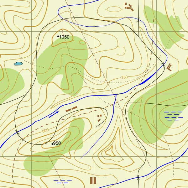
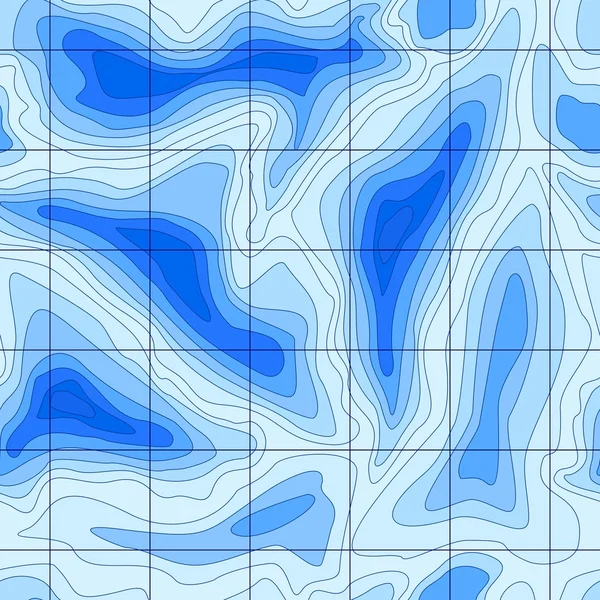
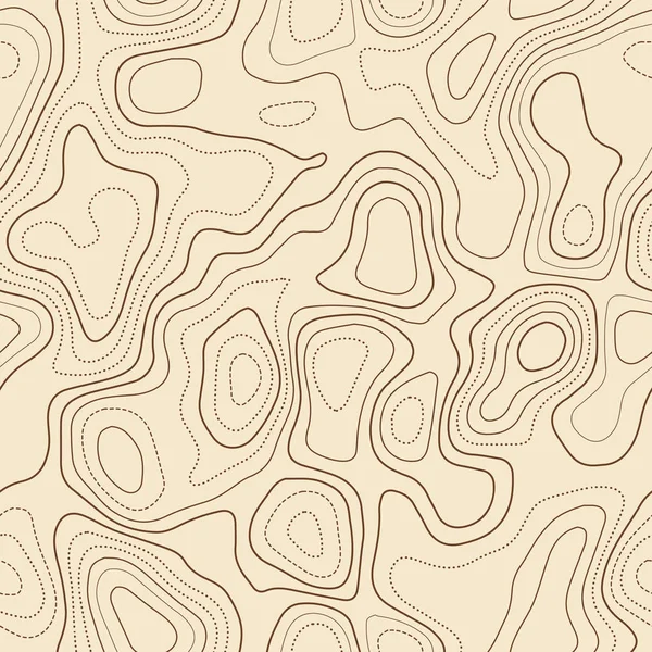
Seamless Topographic Map. A Height Map With Contour Lines. Abstract Vector Background
Vector, 0.46MB, 5000 × 5000 eps

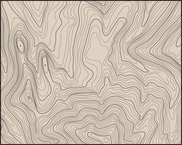
Topographic Map. The Stylized Height Of The Topographic Contour In Lines And Contours. Vector Stock Illustration
Vector, 1.21MB, 5216 × 4167 eps

Purple Blue Papercut Gradient Background. 3d Art Vector Cutout. Paper Craft Color Wave With Fluid Shape. Topographic Map Design With Creative Carve Geometric Shapes. Water Or Sea Liquid Form.
Vector, 2.61MB, 6754 × 3800 eps

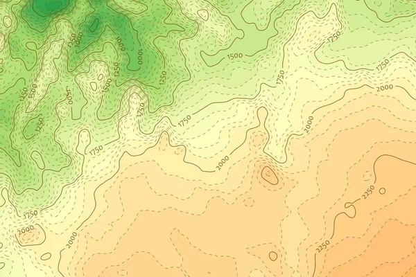
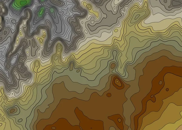
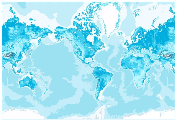
Grey Contours Vector Topography. Geographic Mountain Topography Vector Illustration. Topographic Pattern Texture. Map On Land Vector Terrain. Elevation Graphic Contour Height Lines. Topographic Map
Vector, 0.93MB, 6755 × 3800 eps
Abstract Topography Actual Topographic Map In Green Tones Seamless Design Goodlooking Tileable
Vector, 10.93MB, 5478 × 5478 eps
Abstract Topography Actual Topographic Map Seamless Design Attractive Tileable Isolines Pattern
Vector, 6.59MB, 5478 × 5478 eps

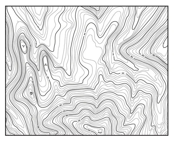
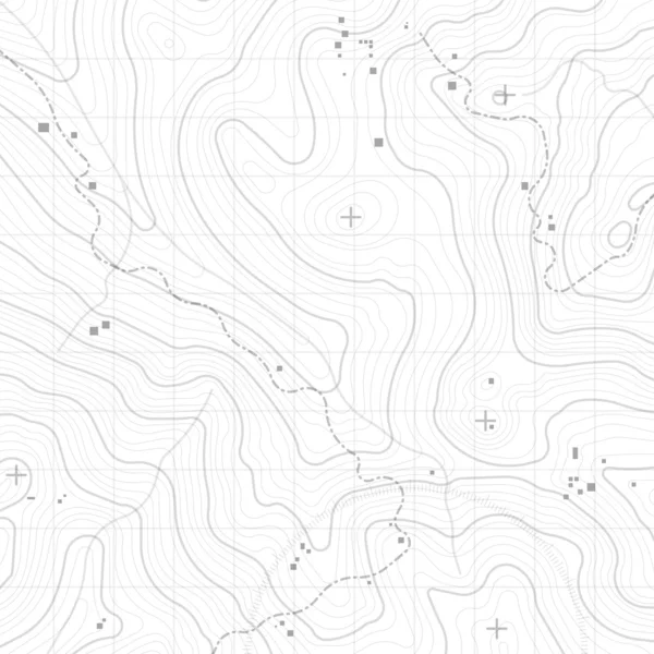
Creative Vector Illustration Of Topographic Map. Art Design Contour Background. Abstract Concept Graphic Element And Geography Scheme. Mountain Hiking Trail Grid, Terrain Path
Vector, 2.43MB, 8544 × 4800 eps

Creative Vector Illustration Of Topographic Map. Art Design Contour Background. Abstract Concept Graphic Element And Geography Scheme. Mountain Hiking Trail Grid, Terrain Path
Vector, 2.29MB, 8544 × 4800 eps


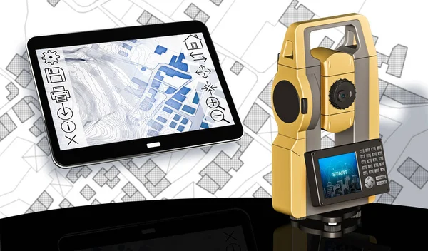
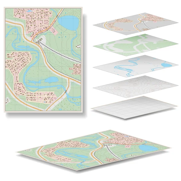
Planning A New City - Concept Image With An Imaginary Cadastral Map Of Territory With Buildings, Land Parcel And 3D Rendering Of A Geodesic Device, Called Total Station, Used To Survey And Draw Topographic Maps.
Image, 5.71MB, 4752 × 3168 jpg


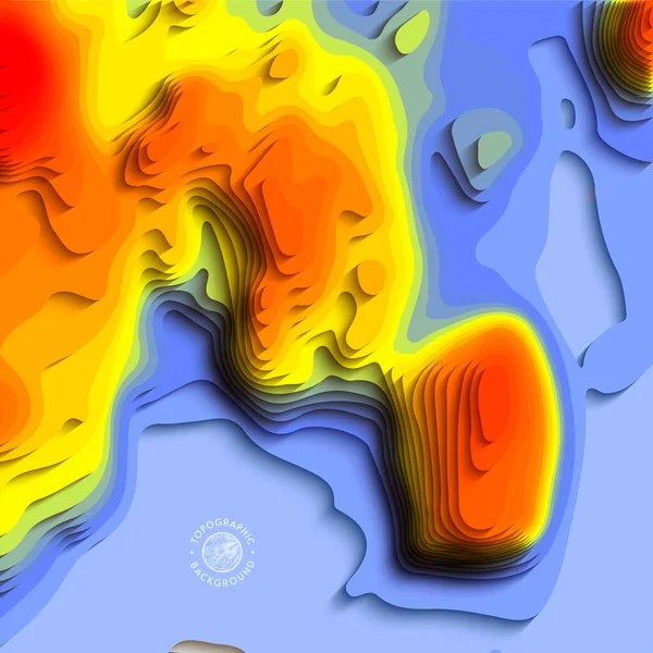
Temperature Control Gradient Background. 3d Art Vector Cutout. Topographical Map Color Wave Fluid Shape. Global Warming Origami Design With Creative Carve Geometric Shapes. Relief With Water Or Sea.
Vector, 2.47MB, 4000 × 4000 eps

Planning A New City - Concept Image With An Imaginary Cadastral Map Of Territory With Buildings, Land Parcel And 3D Rendering Of Tablet Device And Geodesic Device, Called Total Station, Used To Survey And Draw Topographic Maps.
Image, 12.85MB, 7547 × 4432 jpg

Rural Scene With Field And 3D Rendering Of A Geodesic Device, Called Total Station Used For The Survey Of Topographic Maps And Topographical Survey.
Image, 12.11MB, 4752 × 3168 jpg
Planning A New City - Concept Image With An Imaginary Cadastral Map Of Territory With Buildings, Land Parcel And 3D Rendering Of Tablet Device And Geodesic Device, Called Total Station, Used To Survey And Draw Topographic Maps.
Image, 11.09MB, 7547 × 4432 jpg


Cross Section 3D Map With Red Point Markers. Contour Lines On A Topographic Map. Studying The Geography Of The Area: Hills, Mountains And Plains. Pointers On Map, Navigation Concept. 3d Illustration
Image, 8.21MB, 8000 × 4500 jpg
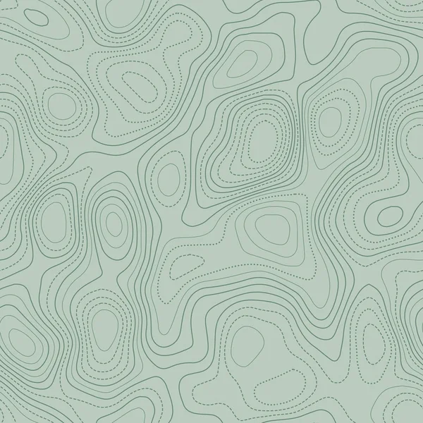
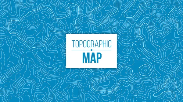
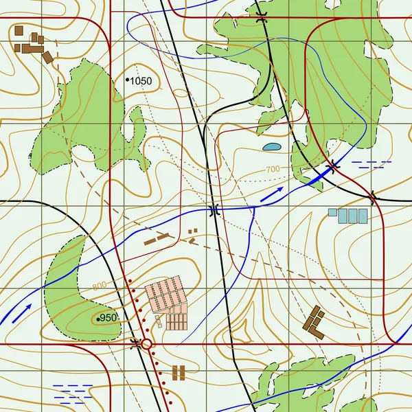
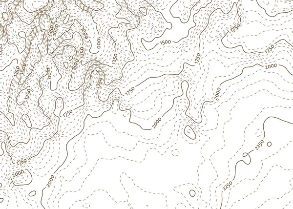
Topographic Map Background Actual Topographic Map Seamless Design Delicate Tileable Isolines
Vector, 6.12MB, 5478 × 5478 eps
Page 1 >> Next