photo free
Home Images Vectors Videos

Stock image United States Mainland

stock vector United States of America 50 states and 1 federal district. US st

United States Of America 50 States And 1 Federal District. US St

Vector, 1.65MB, 5000 × 5000 eps
stock image United States Mainland area enlarged and glowed on a darkened background of its surroundings. Relief map

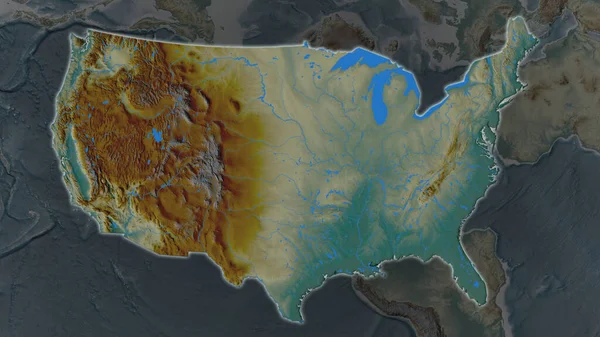
United States Mainland Area Enlarged And Glowed On A Darkened Background Of Its Surroundings. Relief Map

Image, 3.12MB, 3840 × 2160 jpg
stock image United States mainland area on the satellite B map in the stereographic projection - raw composition of raster layers

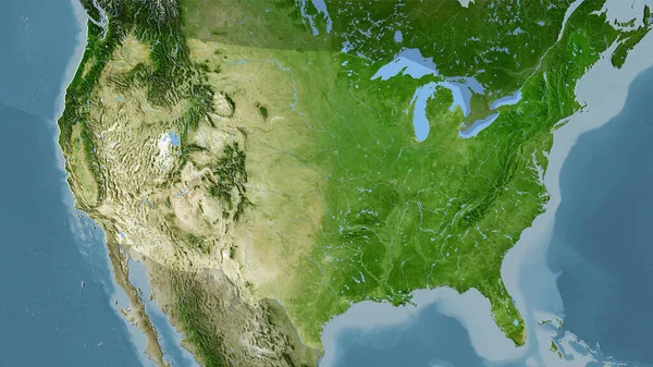
United States Mainland Area On The Satellite B Map In The Stereographic Projection - Raw Composition Of Raster Layers

Image, 6.16MB, 2880 × 1620 jpg
stock image United States Mainland area enlarged and glowed on a darkened background of its surroundings. Main physical landscape features

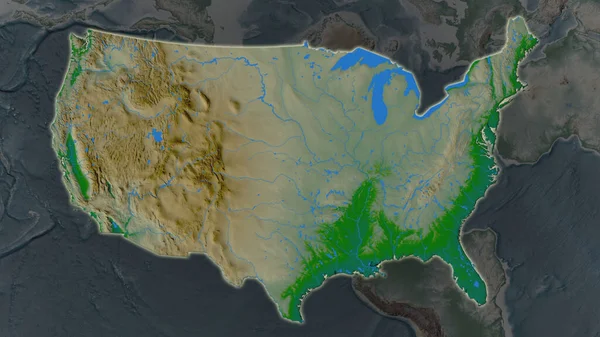
United States Mainland Area Enlarged And Glowed On A Darkened Background Of Its Surroundings. Main Physical Landscape Features

Image, 2.9MB, 3840 × 2160 jpg
stock vector set of US states maps

Set Of US States Maps

Vector, 1.8MB, 4375 × 5000 eps
stock vector USA map

USA Map

Vector, 0.55MB, 5000 × 3750 eps
stock image Desaturated shape of Mainland United States with its capital, main regional division and the separated Ohio area. Labels. Colored elevation map. 3D rendering

Desaturated Shape Of Mainland United States With Its Capital, Main Regional Division And The Separated Ohio Area. Labels. Colored Elevation Map. 3D Rendering

Image, 1MB, 2880 × 1620 jpg
stock image Mainland United States

Mainland United States

Image, 13.43MB, 4578 × 4578 jpg
stock vector High detailed USA map with federal states. Vector illustration United states of America.

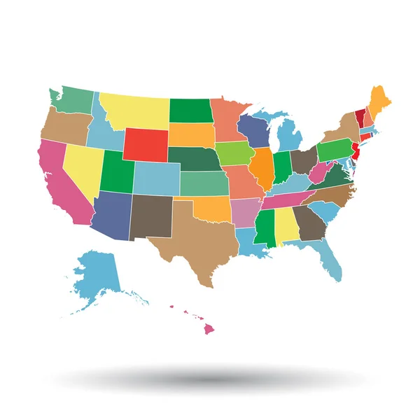
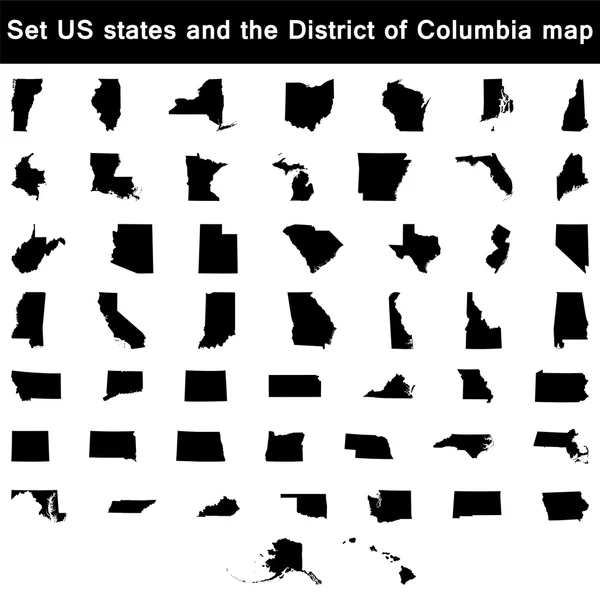
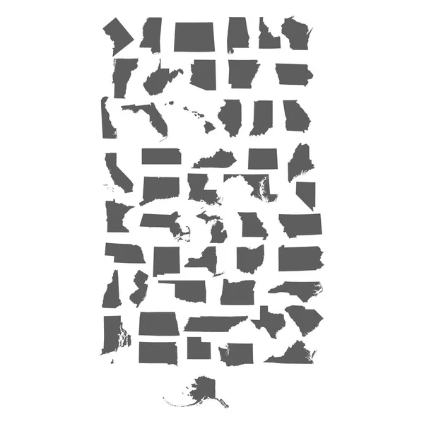
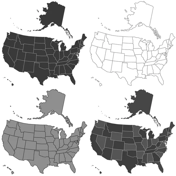
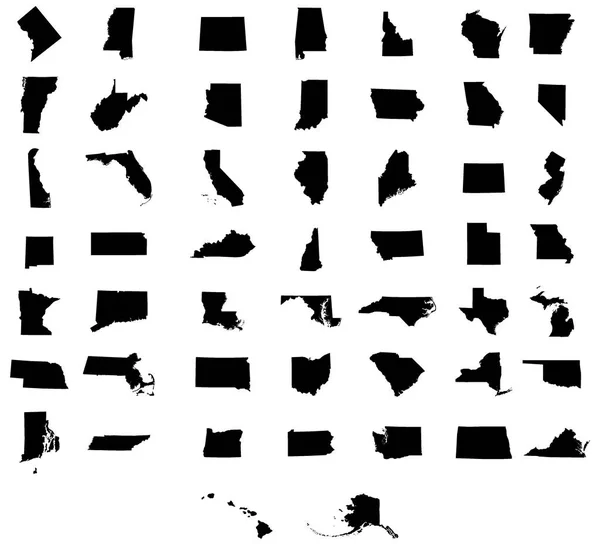
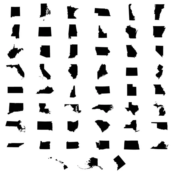
High Detailed USA Map With Federal States. Vector Illustration United States Of America.

Vector, 1.79MB, 7000 × 7000 eps
stock image Outline diagram of the mainland states of the United States of America

Outline Diagram Of The Mainland States Of The United States Of America

Image, 0MB, 4945 × 3532 jpg
stock vector set of US states maps

Set Of US States Maps

Vector, 1.81MB, 4375 × 5000 eps
stock vector USA shape.

USA Shape.

Vector, 0.4MB, 6000 × 6000 eps
stock vector set of US states maps vector

Set Of US States Maps Vector

Vector, 1.86MB, 5000 × 5000 eps
stock vector Abstract USA Map - vector illustration - geometric structure in blue color for presentation, booklet, website and other design projects. United States of America - abstract vector map.

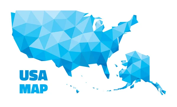
Abstract USA Map - Vector Illustration - Geometric Structure In Blue Color For Presentation, Booklet, Website And Other Design Projects. United States Of America - Abstract Vector Map.

Vector, 0.46MB, 6607 × 4000 eps
stock image Map of North Atlantic - United States (Vintage Series)

Map Of North Atlantic - United States (Vintage Series)

Image, 15.56MB, 7000 × 5000 jpg
stock vector set of US states

Set Of US States

Vector, 1.82MB, 5000 × 5000 eps
stock vector USA map set

USA Map Set

Vector, 0.76MB, 4000 × 4000 eps
stock vector American flag in the shape of a heart

American Flag In The Shape Of A Heart

Vector, 1.57MB, 5000 × 5000 eps
stock vector set of US states maps

Set Of US States Maps

Vector, 1.82MB, 4583 × 4167 eps
stock vector set of US states maps

Set Of US States Maps

Vector, 1.82MB, 5000 × 5000 eps
stock vector Usa, United States of America map. Colorful orange vector illustration

Usa, United States Of America Map. Colorful Orange Vector Illustration

Vector, 6.98MB, 7000 × 7000 eps
stock image United States on the globe

United States On The Globe

Image, 8.14MB, 4288 × 2848 jpg
stock vector set of US states

Set Of US States

Vector, 1.83MB, 5000 × 5000 eps
stock image Product Tags

Product Tags

Image, 1.07MB, 4000 × 3500 jpg
stock image Shape of Mainland United States with its capital isolated on white background. Satellite imagery. 3D rendering

Shape Of Mainland United States With Its Capital Isolated On White Background. Satellite Imagery. 3D Rendering

Image, 5.69MB, 3110 × 1978 jpg
stock image State of Alaska map

State Of Alaska Map

Image, 1MB, 4300 × 2800 jpg
stock vector Eagle over USA flag

Eagle Over USA Flag

Vector, 0.63MB, 3250 × 2528 eps
stock vector Contour map of USA

Contour Map Of USA

Vector, 1.92MB, 4724 × 4724 eps
stock image The main Washington Street in downtown Boston at night

The Main Washington Street In Downtown Boston At Night

Image, 8.48MB, 4352 × 2904 jpg
stock vector Eagle over USA map

Eagle Over USA Map

Vector, 1.88MB, 4645 × 3484 eps
stock vector set of US states maps

Set Of US States Maps

Vector, 1.83MB, 5000 × 5000 eps
stock vector Set of icons on blue background

Set Of Icons On Blue Background

Vector, 0.59MB, 5197 × 3465 eps
stock image The main Washington Street in downtown Boston at night

The Main Washington Street In Downtown Boston At Night

Image, 8.23MB, 4352 × 2904 jpg
stock vector Modern Map - North America Map with countries complete

Modern Map - North America Map With Countries Complete

Vector, 5.98MB, 5496 × 5000 eps
stock vector Louisiana (United States of America) -  map of coffee bean, Louisiana map made of coffee beans,

Louisiana (United States Of America) - Map Of Coffee Bean, Louisiana Map Made Of Coffee Beans,

Vector, 11.4MB, 7158 × 4724 eps
stock vector Modern Map - South America Map with all countries complete

Modern Map - South America Map With All Countries Complete

Vector, 5.81MB, 5000 × 7267 eps
stock image Earth globe, realistic 3 D rendering. North America view.

Earth Globe, Realistic 3 D Rendering. North America View.

Image, 14.54MB, 5000 × 5000 jpg
stock vector Happy Columbus Day poster with great spanish sailor greeting card lettering text logo design

Happy Columbus Day Poster With Great Spanish Sailor Greeting Card Lettering Text Logo Design

Vector, 4.05MB, 7245 × 4234 eps
stock image Mainland grizzly (Ursus arctos horribilis).

Mainland Grizzly (Ursus Arctos Horribilis).

Image, 3.73MB, 3709 × 5564 jpg
stock vector Modern Map - North America Map complete

Modern Map - North America Map Complete

Vector, 5.97MB, 5496 × 5000 eps
stock image Mainland grizzly (Ursus arctos horribilis).

Mainland Grizzly (Ursus Arctos Horribilis).

Image, 4.16MB, 3479 × 5219 jpg
stock image Mainland grizzly (Ursus arctos horribilis)

Mainland Grizzly (Ursus Arctos Horribilis)

Image, 3.78MB, 3658 × 5487 jpg
stock image Canadian Goods and USA Border Crossing

Canadian Goods And USA Border Crossing

Image, 10.45MB, 4887 × 3253 jpg
stock image Mainland grizzly (Ursus arctos horribilis).

Mainland Grizzly (Ursus Arctos Horribilis).

Image, 4.45MB, 5580 × 3720 jpg
stock image Mainland grizzly (Ursus arctos horribilis). Wildlife animal.

Mainland Grizzly (Ursus Arctos Horribilis). Wildlife Animal.

Image, 4.43MB, 3717 × 5352 jpg
stock image Mainland grizzly (Ursus arctos horribilis).

Mainland Grizzly (Ursus Arctos Horribilis).

Image, 6.03MB, 5600 × 3733 jpg
stock image Mainland grizzly (Ursus arctos horribilis).

Mainland Grizzly (Ursus Arctos Horribilis).

Image, 3.86MB, 5531 × 3687 jpg
stock image Mainland grizzly (Ursus arctos horribilis). Wildlife animal.

Mainland Grizzly (Ursus Arctos Horribilis). Wildlife Animal.

Image, 4.01MB, 5616 × 3744 jpg
stock vector New Jersey (United States of America) -  map of coffee bean, New Jersey map made of coffee beans,

New Jersey (United States Of America) - Map Of Coffee Bean, New Jersey Map Made Of Coffee Beans,

Vector, 5.43MB, 6243 × 4499 eps
stock image Blue&white map

Blue&white Map

Image, 2.12MB, 4847 × 3686 jpg
Page 1 >> Next