photo free
Home Images Vectors Videos

Stock image Wyoming Boundary Map

stock vector Wyoming outline map set

Wyoming Outline Map Set

Vector, 0.15MB, 4972 × 4741 eps
stock vector Wyoming County (New York) outline map set

Wyoming County (New York) Outline Map Set

Vector, 0.24MB, 6000 × 3000 eps
stock image Map showing the hydrological features of Yellowstone National Park in the United States. (Data sources: USGS, USNPS)

Map Showing The Hydrological Features Of Yellowstone National Park In The United States. (Data Sources: USGS, USNPS)

Image, 0MB, 3100 × 3100 jpg
stock vector Map United State

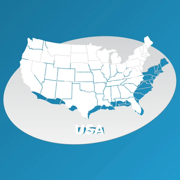
Map United State

Vector, 0.48MB, 5000 × 5000 eps
stock vector Montana

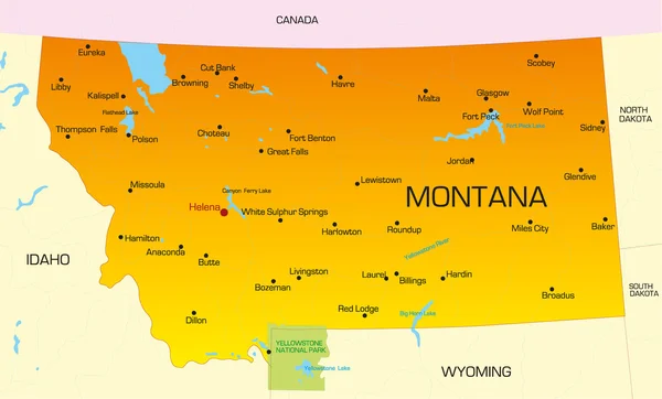
Montana

Vector, 0.91MB, 5946 × 3594 eps
stock vector U.S. states - map of Wyoming with paper cut effect. Hand made. Rivers and lakes are shown. Please look at my other images of cartographic series - they are all very detailed and carefully drawn by hand WITH RIVERS AND LAKES.

U.S. States - Map Of Wyoming With Paper Cut Effect. Hand Made. Rivers And Lakes Are Shown. Please Look At My Other Images Of Cartographic Series - They Are All Very Detailed And Carefully Drawn By Hand WITH RIVERS AND LAKES.

Vector, 4.02MB, 7070 × 7070 eps
stock vector Colorado state detailed editable map

Colorado State Detailed Editable Map

Vector, 1.07MB, 7000 × 5291 eps
stock vector Hand Drawn USA states vector illustration

Hand Drawn USA States Vector Illustration

Vector, 4.56MB, 5906 × 5815 eps
stock vector Montana state detailed editable map

Montana State Detailed Editable Map

Vector, 1.05MB, 7439 × 4500 eps
stock vector Hand Drawn USA states vector illustration

Hand Drawn USA States Vector Illustration

Vector, 5.32MB, 5906 × 5815 eps
stock vector Handwritten USA states vector illustration

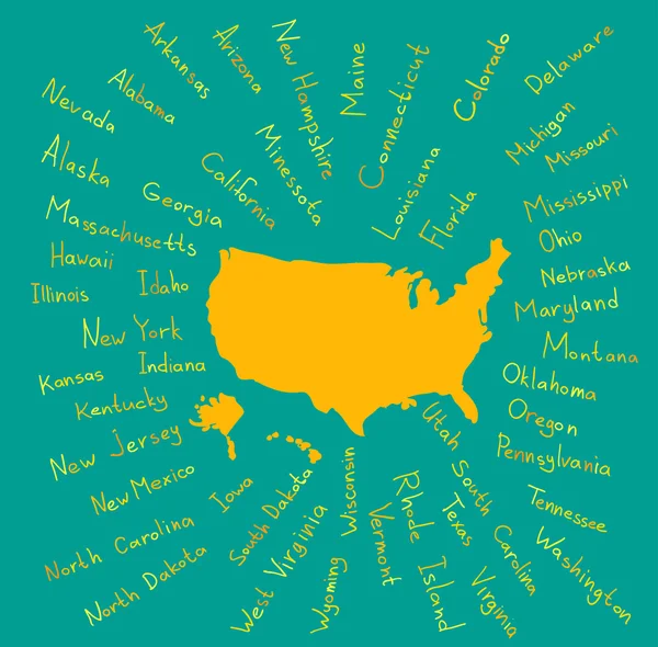
Handwritten USA States Vector Illustration

Vector, 4.67MB, 5906 × 5906 eps
stock vector U.S. states - map of Wyoming. Hand made. Rivers and lakes are shown. Please look at my other images of cartographic series - they are all very detailed and carefully drawn by hand WITH RIVERS AND LAKES.

U.S. States - Map Of Wyoming. Hand Made. Rivers And Lakes Are Shown. Please Look At My Other Images Of Cartographic Series - They Are All Very Detailed And Carefully Drawn By Hand WITH RIVERS AND LAKES.

Vector, 9.5MB, 7070 × 7070 eps
stock image Wyoming Red Abstract 3D State Map United States America

Wyoming Red Abstract 3D State Map United States America

Image, 4.36MB, 4096 × 3558 jpg
stock vector Wyoming County (West Virginia) outline map set

Wyoming County (West Virginia) Outline Map Set

Vector, 0.29MB, 6000 × 3000 eps
stock vector Hot Springs County (Wyoming) outline map set

Hot Springs County (Wyoming) Outline Map Set

Vector, 0.26MB, 6000 × 3000 eps
stock vector Goshen County (Wyoming) outline map set

Goshen County (Wyoming) Outline Map Set

Vector, 0.24MB, 6000 × 3000 eps
stock vector Carbon County (Wyoming) outline map set

Carbon County (Wyoming) Outline Map Set

Vector, 0.27MB, 6000 × 3000 eps
stock vector Washakie County (Wyoming) outline map set

Washakie County (Wyoming) Outline Map Set

Vector, 0.25MB, 6000 × 3000 eps
stock vector Park County (Wyoming) outline map set

Park County (Wyoming) Outline Map Set

Vector, 0.29MB, 6000 × 3000 eps
stock vector Sheridan County (Wyoming) outline map set

Sheridan County (Wyoming) Outline Map Set

Vector, 0.26MB, 6000 × 3000 eps
stock vector Fremont County (Wyoming) outline map set

Fremont County (Wyoming) Outline Map Set

Vector, 0.29MB, 6000 × 3000 eps
stock vector Converse County (Wyoming) outline map set

Converse County (Wyoming) Outline Map Set

Vector, 0.25MB, 6000 × 3000 eps
stock vector Lincoln County (Wyoming) outline map set

Lincoln County (Wyoming) Outline Map Set

Vector, 0.25MB, 6000 × 3000 eps
stock vector Big Horn County (Wyoming) outline map set

Big Horn County (Wyoming) Outline Map Set

Vector, 0.27MB, 6000 × 3000 eps
stock vector Johnson County (Wyoming) outline map set

Johnson County (Wyoming) Outline Map Set

Vector, 0.26MB, 6000 × 3000 eps
stock vector Natrona County (Wyoming) outline map set

Natrona County (Wyoming) Outline Map Set

Vector, 0.26MB, 6000 × 3000 eps
stock vector Crook County (Wyoming) outline map set

Crook County (Wyoming) Outline Map Set

Vector, 0.24MB, 6000 × 3000 eps
stock vector Uinta County (Wyoming) outline map set

Uinta County (Wyoming) Outline Map Set

Vector, 0.24MB, 6000 × 3000 eps
stock vector Wyoming US Map. WY USA State Map. Black and White Wyomingite Wyomingian State Border Boundary Line Outline Geography Territory Shape Vector Illustration EPS Clipart

Wyoming US Map. WY USA State Map. Black And White Wyomingite Wyomingian State Border Boundary Line Outline Geography Territory Shape Vector Illustration EPS Clipart

Vector, 5.7MB, 5000 × 4000 eps
stock vector Laramie County (Wyoming) outline map set

Laramie County (Wyoming) Outline Map Set

Vector, 0.24MB, 6000 × 3000 eps
stock vector Sublette County (Wyoming) outline map set

Sublette County (Wyoming) Outline Map Set

Vector, 0.26MB, 6000 × 3000 eps
stock vector Teton County (Wyoming) outline map set

Teton County (Wyoming) Outline Map Set

Vector, 0.26MB, 6000 × 3000 eps
stock vector Sweetwater County (Wyoming) outline map set

Sweetwater County (Wyoming) Outline Map Set

Vector, 0.27MB, 6000 × 3000 eps
stock vector Platte County (Wyoming) outline map set

Platte County (Wyoming) Outline Map Set

Vector, 0.24MB, 6000 × 3000 eps
stock vector Niobrara County (Wyoming) outline map set

Niobrara County (Wyoming) Outline Map Set

Vector, 0.24MB, 6000 × 3000 eps
stock vector Albany County (Wyoming) outline map set

Albany County (Wyoming) Outline Map Set

Vector, 0.25MB, 6000 × 3000 eps
stock vector Weston County (Wyoming) outline map set

Weston County (Wyoming) Outline Map Set

Vector, 0.25MB, 6000 × 3000 eps
Page 1 >> Next