photo free
Home Images Vectors Videos

Stock image Alabama Region

stock vector Accurate map of Alabama

Accurate Map Of Alabama

Vector, 0.7MB, 4000 × 5000 eps
stock vector Accurate map of Alabama

Accurate Map Of Alabama

Vector, 0.68MB, 4000 × 5000 eps
stock vector Accurate map of Alabama

Accurate Map Of Alabama

Vector, 0.67MB, 4000 × 5000 eps
stock vector Accurate map of Alabama

Accurate Map Of Alabama

Vector, 0.67MB, 4000 × 5000 eps
stock vector Accurate map of Alabama

Accurate Map Of Alabama

Vector, 0.71MB, 4000 × 5000 eps
stock vector Accurate map of Alabama

Accurate Map Of Alabama

Vector, 0.71MB, 4000 × 5000 eps
stock vector Accurate map of Alabama

Accurate Map Of Alabama

Vector, 0.71MB, 4000 × 5000 eps
stock vector Accurate map of Alabama

Accurate Map Of Alabama

Vector, 0.68MB, 4000 × 5000 eps
stock vector Accurate map of Alabama

Accurate Map Of Alabama

Vector, 0.68MB, 4000 × 5000 eps
stock image State of Alabama map

State Of Alabama Map

Image, 0.87MB, 2800 × 4300 jpg
stock vector alabama

Alabama

Vector, 2.73MB, 4000 × 5000 eps
stock image Alabama, state of United States of America. Solid color shape. Locations of major cities of the region. Corner auxiliary location maps

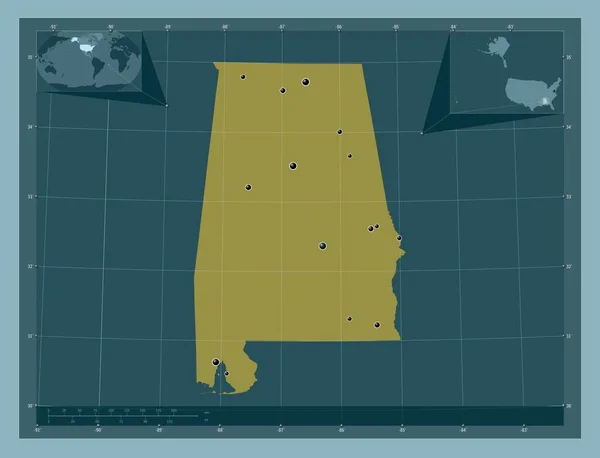
Alabama, State Of United States Of America. Solid Color Shape. Locations Of Major Cities Of The Region. Corner Auxiliary Location Maps

Image, 1.07MB, 4930 × 3770 jpg
stock vector Set 3 of 5 Highly detailed vector silhouettes of USA state maps

Set 3 Of 5 Highly Detailed Vector Silhouettes Of USA State Maps

Vector, 9.07MB, 8858 × 3738 eps
stock vector Alabama high detailed map Us state silhouette icon Isolated Alabama black map outline Vector

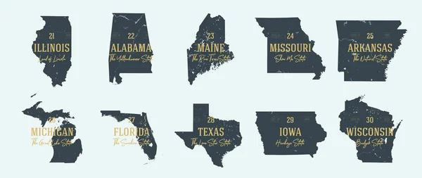
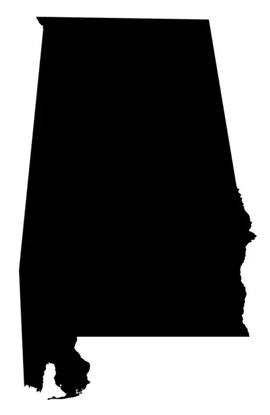
Alabama High Detailed Map Us State Silhouette Icon Isolated Alabama Black Map Outline Vector

Vector, 0.28MB, 8805 × 9401 eps
stock vector Black highlighted location map of the US Elmore county inside gray map of the Federal State of Alabama, USA

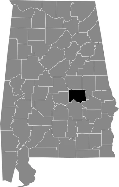
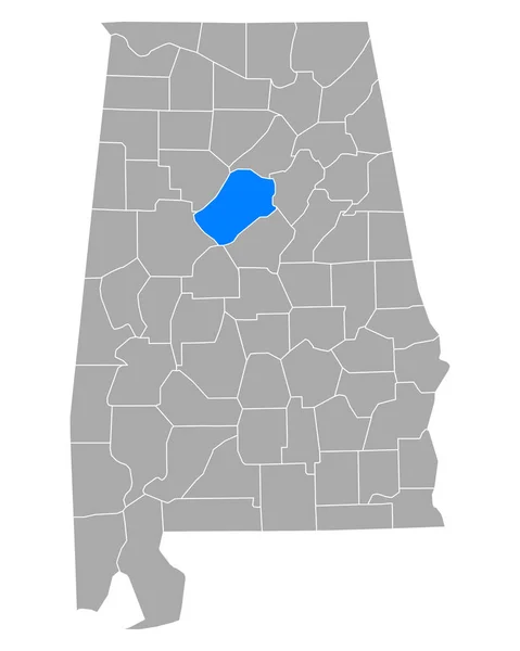
Black Highlighted Location Map Of The US Elmore County Inside Gray Map Of The Federal State Of Alabama, USA

Vector, 0.52MB, 3807 × 6008 eps
stock vector South Carolina, Tennessee, Georgia, Alabama, Florida USA state o

South Carolina, Tennessee, Georgia, Alabama, Florida USA State O

Vector, 14.5MB, 5000 × 5000 eps
stock vector Set of vector polygonal Alabama maps.

Set Of Vector Polygonal Alabama Maps.

Vector, 0.52MB, 8000 × 8000 eps
stock vector Accurate map of Alabama

Accurate Map Of Alabama

Vector, 0.66MB, 4000 × 5000 eps
stock vector map of the U.S. state of Alabama

Map Of The U.S. State Of Alabama

Vector, 0.58MB, 5000 × 5000 eps
stock vector Modern Map - Alabama county map with labels USA illustration

Modern Map - Alabama County Map With Labels USA Illustration

Vector, 9.6MB, 6000 × 8721 eps
stock vector Alabama counties emblem map

Alabama Counties Emblem Map

Vector, 4.96MB, 4019 × 4025 eps
stock vector Modern Map - Alabama county map USA black and white silhouette

Modern Map - Alabama County Map USA Black And White Silhouette

Vector, 7.93MB, 6000 × 8721 eps
stock vector Vector hand drawn stylized map of The United States of America. Travel illustration of USA states. Hand drawn lettering illustration. North America map element

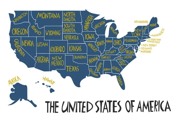
Vector Hand Drawn Stylized Map Of The United States Of America. Travel Illustration Of USA States. Hand Drawn Lettering Illustration. North America Map Element

Vector, 0.64MB, 6000 × 4000 eps
stock vector Missouri - Arkansas - Mississippi - Alabama Map labelled black

Missouri - Arkansas - Mississippi - Alabama Map Labelled Black

Vector, 3.35MB, 5000 × 5340 eps
stock vector Vector hand drawn stylized map of The United States of America with states names. Travel illustration of USA shape. North America map element

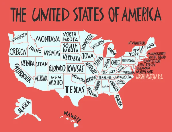
Vector Hand Drawn Stylized Map Of The United States Of America With States Names. Travel Illustration Of USA Shape. North America Map Element

Vector, 0.85MB, 5200 × 4000 eps
stock vector Arkansas - Louisiana - Mississippi - Alabama Map labelled black

Arkansas - Louisiana - Mississippi - Alabama Map Labelled Black

Vector, 3.53MB, 5554 × 5000 eps
stock vector Map of the United States of America, with borders and abbreviati

Map Of The United States Of America, With Borders And Abbreviati

Vector, 25.75MB, 7296 × 4104 eps
stock vector US election map. American Presidential Election results infographics template. All the states are separated and named in the layer panel.

US Election Map. American Presidential Election Results Infographics Template. All The States Are Separated And Named In The Layer Panel.

Vector, 1.51MB, 8192 × 4975 eps
stock vector US election map. American Presidential Election results infographics template. All the states are separated and named in the layer panel.

US Election Map. American Presidential Election Results Infographics Template. All The States Are Separated And Named In The Layer Panel.

Vector, 1.5MB, 8192 × 4975 eps
stock vector Doodle map of California state of USA.

Doodle Map Of California State Of USA.

Vector, 5.79MB, 6000 × 6424 eps
stock vector Map of United States with all states where Alabama is pulled out

Map Of United States With All States Where Alabama Is Pulled Out

Vector, 2.18MB, 5833 × 3962 eps
stock vector U.S. state of Alabama

U.S. State Of Alabama

Vector, 0.61MB, 5000 × 5000 eps
stock vector Doodle vector map of Illinois state of USA.

Doodle Vector Map Of Illinois State Of USA.

Vector, 5.77MB, 6000 × 6664 eps
stock vector administrative road map of the metropolitan area of atlanta georgia

Administrative Road Map Of The Metropolitan Area Of Atlanta Georgia

Vector, 1.39MB, 3267 × 3100 eps
stock vector Stamp Alabama, Southeastern Region

Stamp Alabama, Southeastern Region

Vector, 1.44MB, 5241 × 5241 eps
stock vector Doodle vector map of Florida state of USA

Doodle Vector Map Of Florida State Of USA

Vector, 5.74MB, 6000 × 5085 eps
stock vector Map of America. United States Political map. US blueprint with the titles of states and regions. All countries are named in the layer panel

Map Of America. United States Political Map. US Blueprint With The Titles Of States And Regions. All Countries Are Named In The Layer Panel

Vector, 2.06MB, 8192 × 4690 eps
stock vector Tuscaloosa County, Alabama (Counties in Alabama, United States of America,USA, U.S., US) map vector illustration, scribble sketch Tuscaloosa map

Tuscaloosa County, Alabama (Counties In Alabama, United States Of America,USA, U.S., US) Map Vector Illustration, Scribble Sketch Tuscaloosa Map

Vector, 0.53MB, 7087 × 4726 eps
stock image Aerial image of the Regions Harbert Plaza Birmingham labama USA

Aerial Image Of The Regions Harbert Plaza Birmingham Labama USA

Image, 10.18MB, 4200 × 2798 jpg
stock vector Pastel vector map of the Federal State of Alabama, USA with black borders and names of its counties

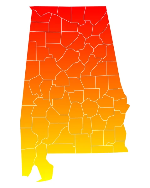
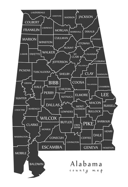
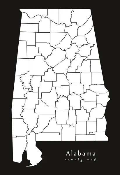
Pastel Vector Map Of The Federal State Of Alabama, USA With Black Borders And Names Of Its Counties

Vector, 0.9MB, 3807 × 6008 eps
stock vector Map of America. United States Political map. US blueprint with the titles of states and regions. All countries are named in the layer panel.

Map Of America. United States Political Map. US Blueprint With The Titles Of States And Regions. All Countries Are Named In The Layer Panel.

Vector, 0.63MB, 8192 × 3657 eps
stock vector Simple map of Huntsville, Alabama, USA. Black and white version for backgrounds. This map of Huntsville contains three markers who are grouped and can be moved separetly in vector version.

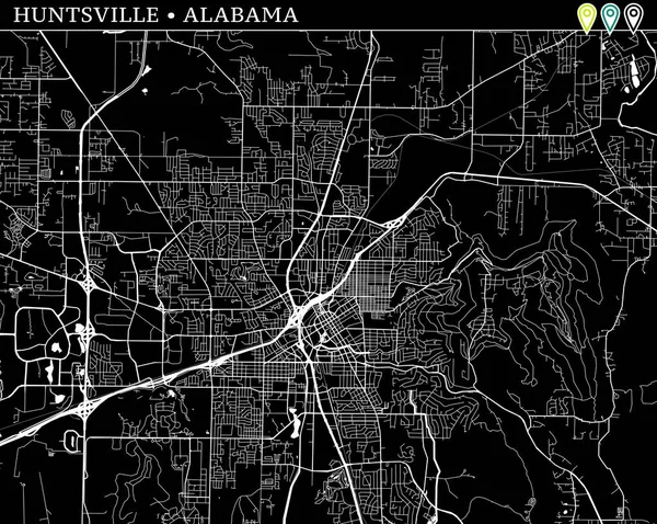
Simple Map Of Huntsville, Alabama, USA. Black And White Version For Backgrounds. This Map Of Huntsville Contains Three Markers Who Are Grouped And Can Be Moved Separetly In Vector Version.

Vector, 4.93MB, 8000 × 6375 eps
stock vector Map of Jefferson in Alabama

Map Of Jefferson In Alabama

Vector, 0.26MB, 4000 × 5000 eps
stock vector Alabama, state of USA - solid black silhouette map of country area. Simple flat vector illustration

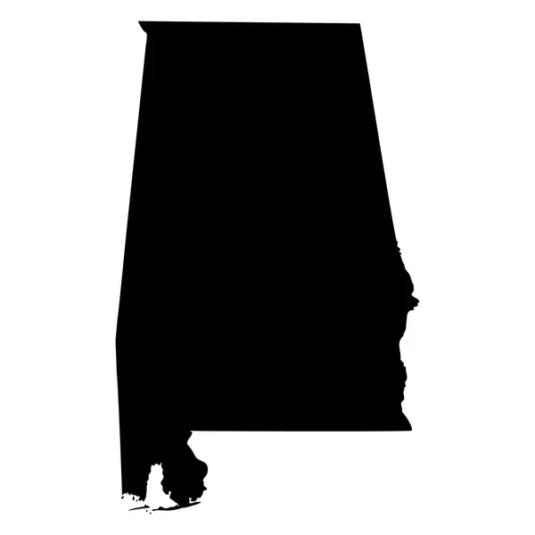
Alabama, State Of USA - Solid Black Silhouette Map Of Country Area. Simple Flat Vector Illustration

Vector, 0.23MB, 6000 × 6000 eps
stock vector Icons States map. America states map icons on a white background

Icons States Map. America States Map Icons On A White Background

Vector, 1.51MB, 5000 × 5000 eps
stock image Alabama

Alabama

Image, 1.02MB, 4300 × 2800 jpg
stock vector Baldwin County, Alabama (Counties in Alabama, United States of America,USA, U.S., US) map vector illustration, scribble sketch Baldwin map

Baldwin County, Alabama (Counties In Alabama, United States Of America,USA, U.S., US) Map Vector Illustration, Scribble Sketch Baldwin Map

Vector, 1.27MB, 7087 × 4726 eps
stock image United States of America, 3d black map, with Alabama state highlighted in orange. 3d render

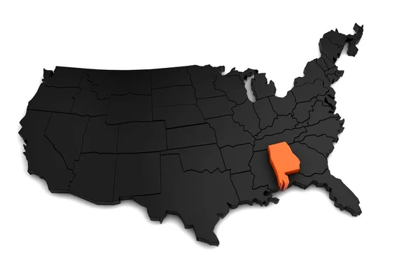
United States Of America, 3d Black Map, With Alabama State Highlighted In Orange. 3d Render

Image, 0.81MB, 5616 × 3744 jpg
stock vector Alabama, AL, political map with the capital Montgomery, cities, rivers and lakes. State in the Southeastern region of the United States, nicknamed Yellowhammer State, Heart of Dixie, and Cotton State.

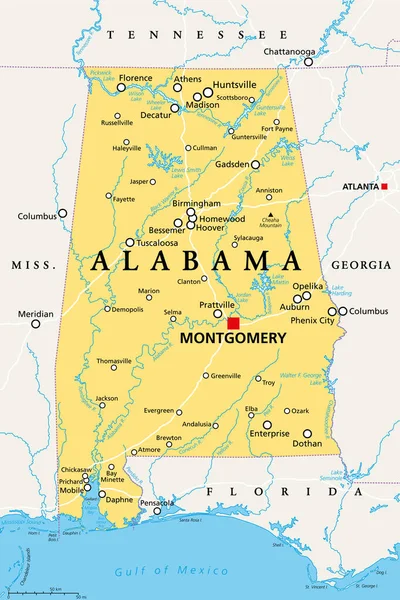
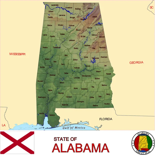
Alabama, AL, Political Map With The Capital Montgomery, Cities, Rivers And Lakes. State In The Southeastern Region Of The United States, Nicknamed Yellowhammer State, Heart Of Dixie, And Cotton State.

Vector, 4.33MB, 6000 × 9000 eps
stock vector Map of the U.S. state of Alabama

Map Of The U.S. State Of Alabama

Vector, 0.83MB, 5000 × 5000 eps
Page 1 >> Next