
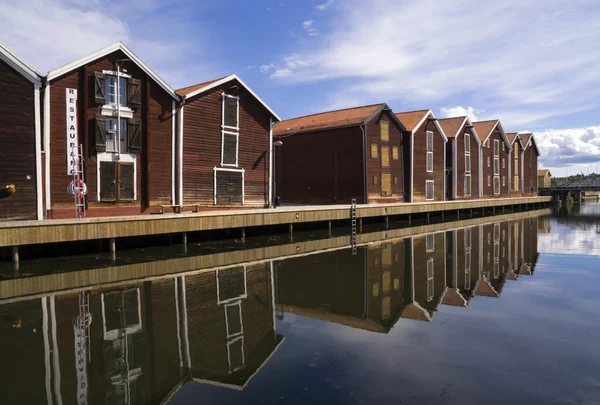
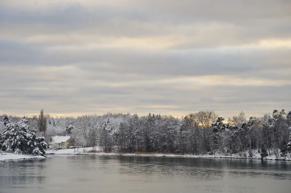
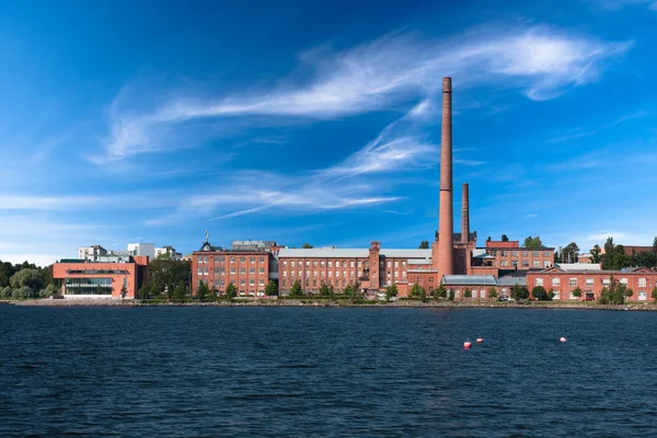
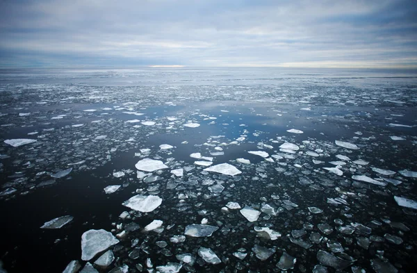
Stock image Bottenviken
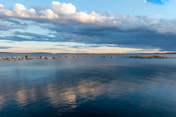
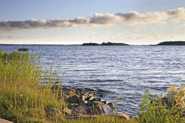
Beautiful Seascape In East Sweden At The Gulf Of Bothnia At The Peninsula Hornslandet
Image, 10.32MB, 5317 × 3545 jpg
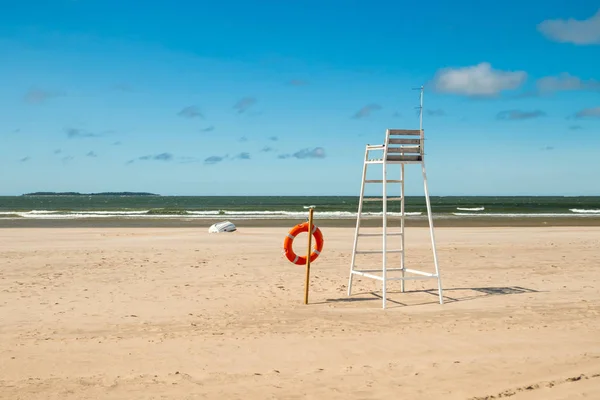
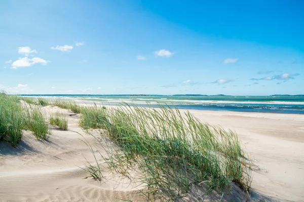
Lifeguard Tower And Lifering On Beautiful Sandy Beach Yyteri At Summer, In Pori, Finland
Image, 7.78MB, 5794 × 3863 jpg


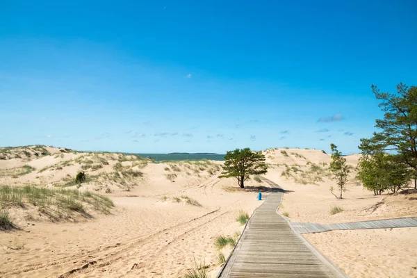
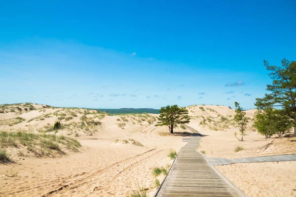
Aerial View Of The Yyteri Beach, People Swimming And Enjoying A Warm, Summer Evening, During Sunset, In Pori, Lansi-Suomi, Finland - Drone Shot
Image, 19.31MB, 5383 × 3588 jpg

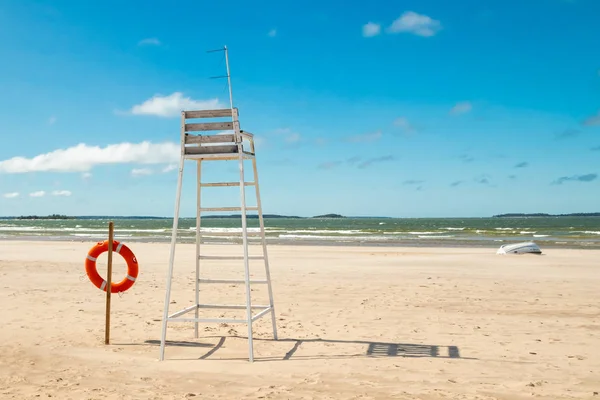
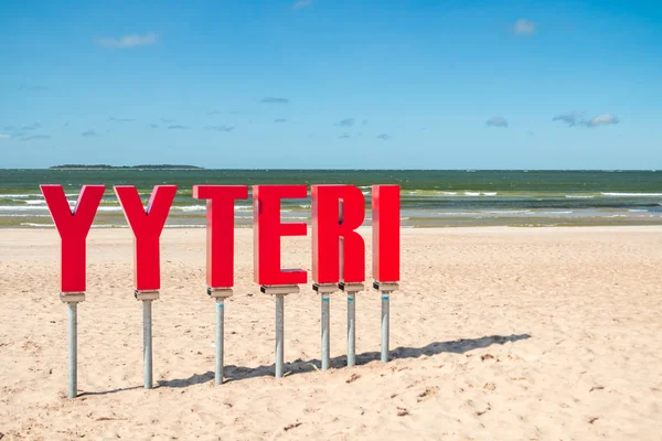
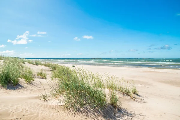
Lifeguard Tower And Lifering On Beautiful Sandy Beach Yyteri At Summer, In Pori, Finland
Image, 7.14MB, 5341 × 3561 jpg


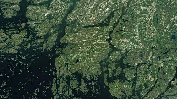
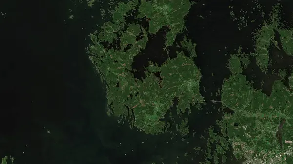
Kimitoon Island In The Gulf Of Bothnia On A Satellite Image Taken In July 8, 2015
Image, 7.28MB, 2880 × 1620 jpg

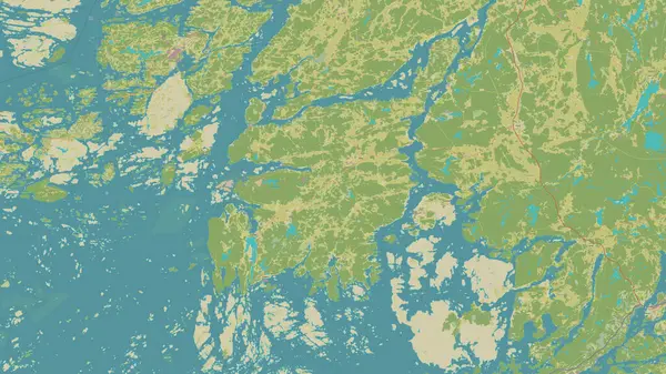
Hailuoto Island In The Gulf Of Bothnia On A Topographic, OSM Humanitarian Style Map
Image, 1.55MB, 2880 × 1620 jpg

Hailuoto Island In The Gulf Of Bothnia On A Satellite Image Taken In May 29, 2024
Image, 4.68MB, 2880 × 1620 jpg

Kimitoon Island In The Gulf Of Bothnia, Belonging To Finland, Isolated On A Topographic, OSM Humanitarian Style Map, With Distance Scale
Image, 1.38MB, 2160 × 2160 jpg

Fasta Aland Island In The Gulf Of Bothnia On A Topographic, OSM Humanitarian Style Map
Image, 3.1MB, 2880 × 1620 jpg
Kimitoon Island In The Gulf Of Bothnia On A Topographic, OSM Humanitarian Style Map
Image, 5.12MB, 2880 × 1620 jpg

Raippaluoto Island In The Gulf Of Bothnia - Belonging To Finland. Described Location Diagram With Yellow Shape Of The Island And Sample Maps Of Its Surroundings
Image, 3.31MB, 3840 × 2160 jpg

Fasta Aland Island In The Gulf Of Bothnia, Belonging To Finland, Isolated On A Satellite Image Taken In April 18, 2023, With Distance Scale
Image, 2.02MB, 2160 × 2160 jpg

Hailuoto Island In The Gulf Of Bothnia, Belonging To Finland, Isolated On A Satellite Image Taken In July 21, 2024, With Distance Scale
Image, 1.33MB, 2160 × 2160 jpg

Hailuoto Island In The Gulf Of Bothnia, Belonging To Finland, Isolated On A Topographic, OSM Humanitarian Style Map, With Distance Scale
Image, 0.73MB, 2160 × 2160 jpg
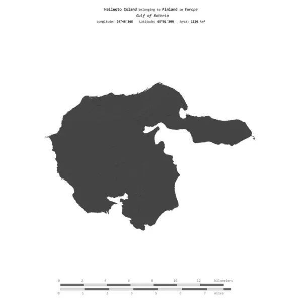
Hailuoto Island In The Gulf Of Bothnia, Belonging To Finland, Isolated On A Bilevel Elevation Map, With Distance Scale
Image, 0.43MB, 2160 × 2160 jpg

Raippaluoto Island In The Gulf Of Bothnia, Belonging To Finland, Isolated On A Bilevel Elevation Map, With Distance Scale
Image, 0.62MB, 2160 × 2160 jpg
Raippaluoto Island In The Gulf Of Bothnia On A Satellite Image Taken In June 15, 2021
Image, 5.1MB, 2880 × 1620 jpg

Kimitoon Island In The Gulf Of Bothnia, Belonging To Finland, Isolated On A Satellite Image Taken In October 6, 2020, With Distance Scale
Image, 1.96MB, 2160 × 2160 jpg

Fasta Aland Island In The Gulf Of Bothnia, Belonging To Finland, Isolated On A Bilevel Elevation Map, With Distance Scale
Image, 0.76MB, 2160 × 2160 jpg

Page 1 >> Next