
Stock image Chester Pennsylvania
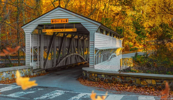
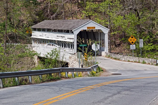
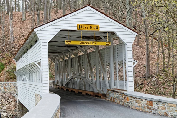
The Knox Covered Bridge At Valley Forge National Park Historical Park In Autumn With Leaves Falling Through The Image
Image, 31.56MB, 10150 × 5876 jpg


Media, Pennsylvania, U.S.A - May 17, 2021 - Busy Traffic On Interstate 476 South With I-95 Splits Towards Philadelphia And Chester
Image, 3.83MB, 5481 × 3143 jpg

Media, Pennsylvania, U.S.A - May 17, 2021 - Busy Traffic On Interstate 476 South With I-95 Splits Towards Philadelphia And Chester
Image, 5.26MB, 6000 × 3308 jpg
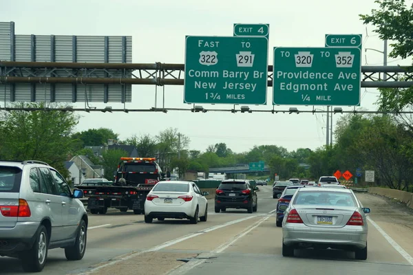
Chester, Pennsylvania, U.S.A - May 17, 2021 - Traffic Jammed On Interstate 95 South Towards Delaware
Image, 4.27MB, 5356 × 3576 jpg

Chester, Pennsylvania, U.S.A - May 17, 2021 - Traffic Jammed On Interstate 95 South Towards Delaware
Image, 5.86MB, 5772 × 3748 jpg

Flag Of American State Of Pennsylvania, Region Of The United States, Waving At Wind
Image, 4MB, 7000 × 4000 jpg

Pennsylvania Counties, Gray Political Map. Commonwealth Of Pennsylvania, A State Of The Mid-Atlantic And Northeastern United States, Subdivided Into 67 Counties. Map With Boundaries And County Names.
Vector, 2.09MB, 9000 × 5702 eps

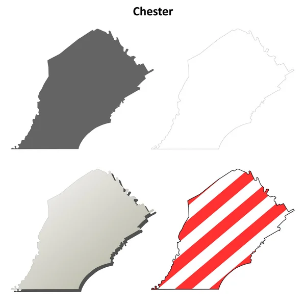
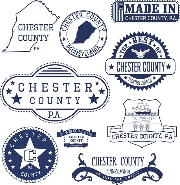
Map Of Chester County In Pennsylvania State On White Background. Single County Map Highlighted By Black Colour On Pennsylvania Map. UNITED STATES, US
Image, 4.24MB, 8000 × 5334 jpg

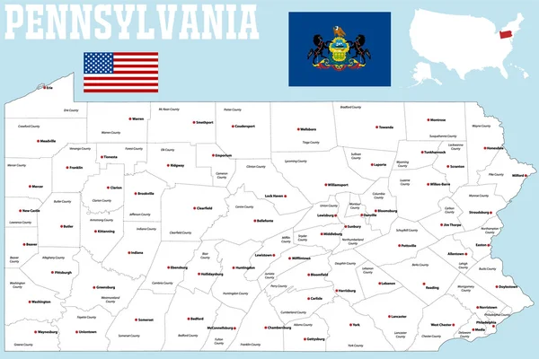
Pennsylvania, U.S. State, Subdivided Into 67 Counties, Multi Colored Political Map With Capital Harrisburg, And Borders. State Of The Mid-Atlantic And Northeastern USA, With Nickname Keystone State.
Vector, 1.99MB, 9000 × 5625 eps

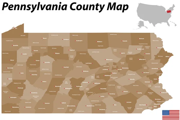
Pennsylvania Counties, Political Map. Commonwealth Of Pennsylvania, A State Of The Mid-Atlantic And Northeastern United States, Subdivided Into 67 Counties. Map With Boundaries And County Names.
Vector, 2.65MB, 9000 × 6000 eps
Page 1 >> Next