Home
Images
Vectors
Videos
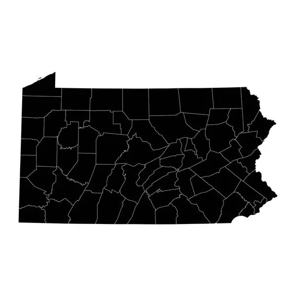
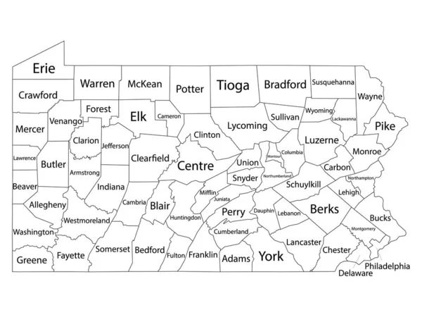
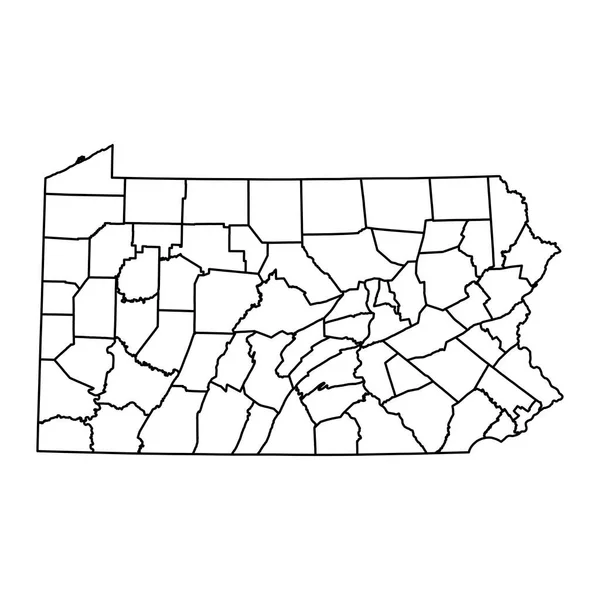
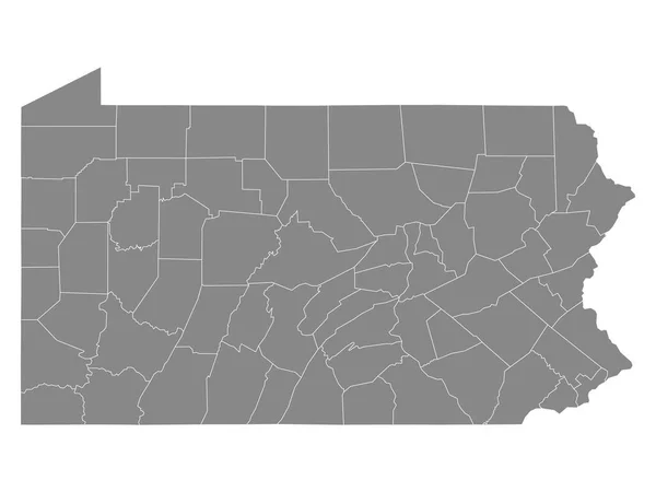
Stock vector Pennsylvania counties, gray political map. Commonwealth of Pennsylvania, a state of the Mid-Atlantic and Northeastern United States, subdivided into 67 counties. Map with boundaries and county names.
Published:
Jul.03, 2024 18:26:46
Author:
Furian
Views:
0
Downloads:
0
File type:
vector
/
eps
File size:
2.09 MB
Orginal size:
9000
x
5702
px
Available sizes:
S
(500 x 317)
M
(1000 x 634)
L
(2000 x 1267)
XL
(9000 x 5702)
VECT
(9000 x 5702)
EL0
(9000 x 5702)
Level:
silver
Download Vector
Vector topics:
Vector
Illustration
Isolated
Travel
Border
Gray
Us
Usa
Country
District
Map
Cartography
Geography
Land
Overview
State
America
Boundary
Political
Administrative
Destination
Commonwealth
States
Division
Federal
Bucks
Atlas
Americas
Nation
Subdivision
Chester
County
Delaware
Mapping
Northeastern
Northeast
Names
Erie
Pennsylvania
Philadelphia
Pa
Montgomery
Counties
Allegheny
Mid Atlantic
Infographic
United States
Subdivided
Political Map
Swing States
Similar stock vectors
Accurate Map Of Pennsylvania
5000 × 4000
High Quality Map Of Pennsylvania Is A State Of United States Of America With Borders Of The Counties
4000 × 4000
Pennsylvania State Map With Counties. Vector Illustration.
8334 × 8334
White Outline Counties Map With Counties Names Of US State Of Pennsylvania
4800 × 3600
Pennsylvania State Map With Counties. Vector Illustration.
8334 × 8334
Gray Outline Counties Map Of US State Of Pennsylvania
4800 × 3600
Accurate Map Of Pennsylvania
5000 × 4000