
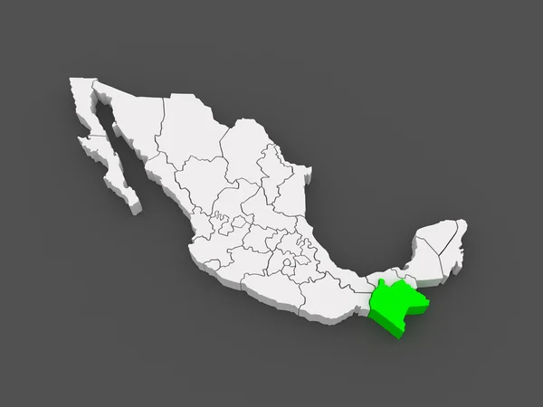
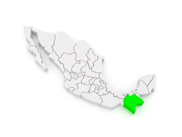
Stock image Chiapas State

Brightly Painted Boats On A Beach At Montebello Lakes National Park (Parque Nacional Lagunas De Montebello) In Chiapas, Mexico, Near Guatemalan Border.
Image, 5.71MB, 2856 × 1750 jpg


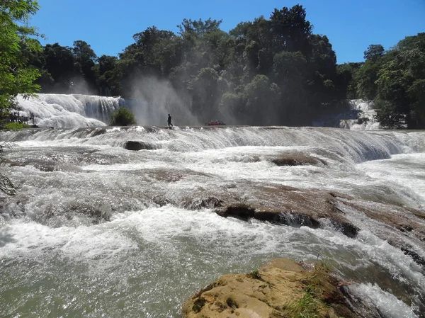

Magnificent Waterfall In Mexico, Beautiful Scenery Overlooking The Waterfall Agua Azul Near Palenque. Chiapas.
Image, 9.86MB, 3872 × 2592 jpg

Magnificent Waterfall In Mexico, Beautiful Scenery Overlooking The Waterfall Agua Azul Near Palenque. Chiapas.
Image, 10.46MB, 3872 × 2592 jpg
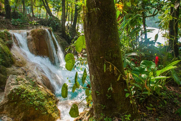
Magnificent Waterfall In Mexico, Beautiful Scenery Overlooking The Waterfall Agua Azul Near Palenque. Chiapas.
Image, 9.17MB, 3872 × 2592 jpg


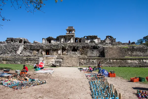
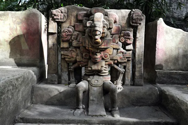
Yaxchilan - An Ancient Maya City Located On The Bank Of The Usumacinta River In The State Of Chiapas, Mexico.
Image, 27.34MB, 7360 × 4912 jpg
Chiapas (United Mexican States, Mexico, Federal Republic) Map Vector Illustration, Scribble Sketch Free And Sovereign State Of Chiapas Map
Vector, 0.5MB, 7087 × 4724 eps
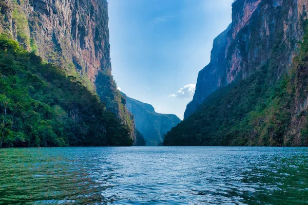
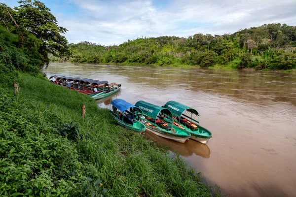
A View Of Sumidero Canyon From A Boat Ride Of Steep Rock On The Grijalba River At Sumidero National Park In Chiapas, Mexico.
Image, 10.85MB, 5472 × 3638 jpg
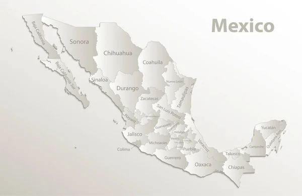
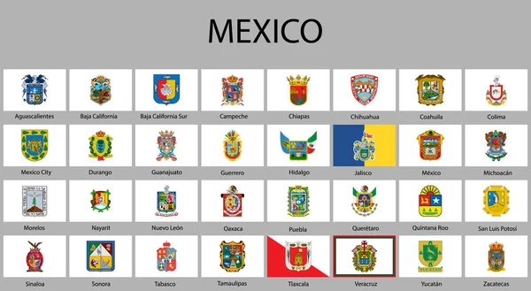
Mexico Map, New Political Detailed Map, Separate Individual States, With State Names, Card Paper 3D Natural Vector
Vector, 12.04MB, 5078 × 3300 eps
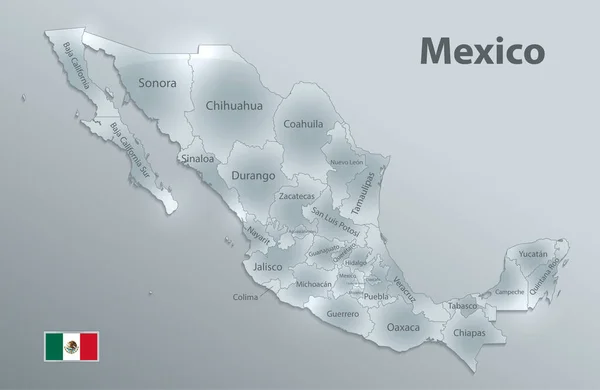
Mexico Map Flag, New Political Detailed Map, Separate Individual States, With State Names, Glass Card 3D State Names, Isolated On White Background 3D Vector
Vector, 9.84MB, 5078 × 3300 eps

ZINACANTAN, MEXICO - NOV 2, 2016: Unidentified People In Zinacantan, State Of Chiapas, Mexico. The Town Is Inhabited By The Indigenous Tzotzil Maya People
Image, 6.21MB, 3892 × 2590 jpg
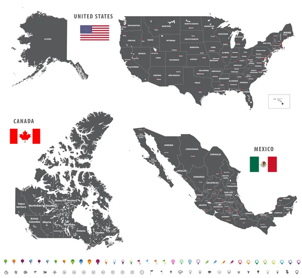
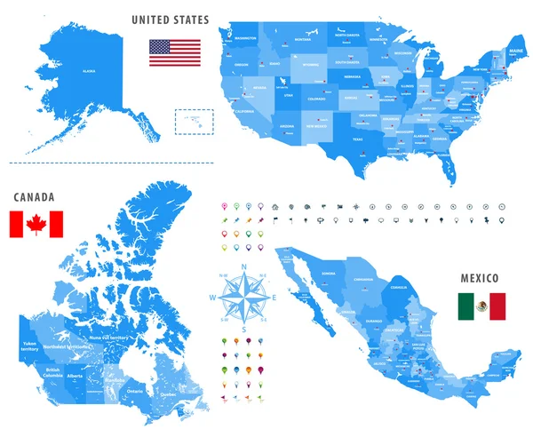
Maps Of Canada, United States And Mexico With Flags And Location\navigation Icons. All Layers Detached And Labeled.
Vector, 10.02MB, 7292 × 6730 eps
12/21/2019 - Chiapas, Mexico. Boat On Usumacinta River Near Yaxchilan - An Ancient Maya City Located On The Bank Of The Usumacinta River In The State Of Chiapas, Mexico.
Image, 25.89MB, 7360 × 4912 jpg

Mexico Map, New Political Detailed Map, Separate Individual States, Isolated On White Background 3D Raster Blank
Image, 1MB, 5078 × 3300 jpg
Maps Of Canada, United States And Mexico With Flags And Location\navigation Icons. All Layers Detached And Labeled.
Vector, 10.79MB, 7292 × 5990 eps

The Ex-monastery Of Santiago Apstol. The Ancient Monastery Is Located In The Town Of Cuilapam De Guerrero In The Mexican State Of Oaxaca. Some Locals Walking In Front Of The Complex.
Image, 21.93MB, 6144 × 4096 jpg
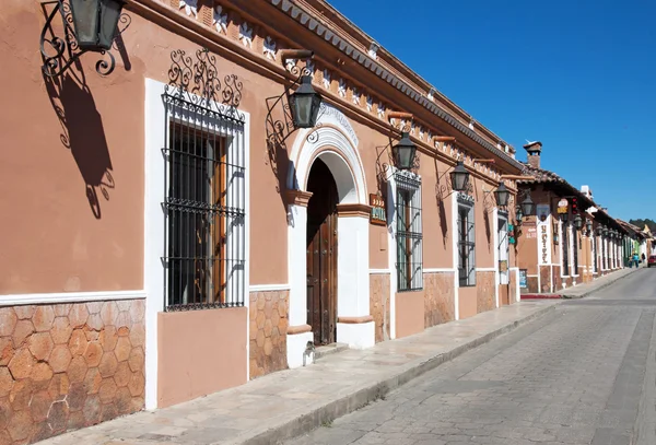

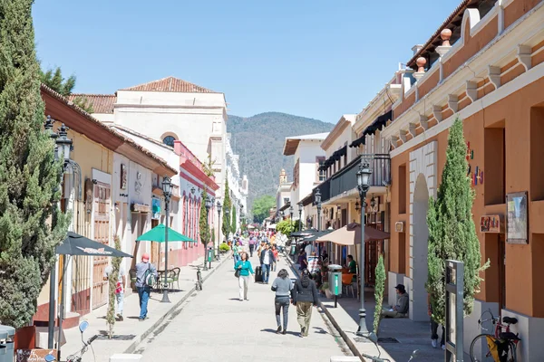
Vie Won Fresh Vegetable Market In San Cristobal De Las Casas, Chiapas, Mexico
Image, 14.3MB, 5334 × 3833 jpg
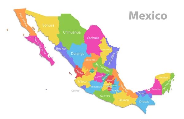
Mexico Map, New Political Detailed Map, Separate Individual States, With State Names, Isolated On White Background 3D Vector
Vector, 6.7MB, 5076 × 3298 eps

Vie Won Fresh Vegetable Market In San Cristobal De Las Casas, Chiapas, Mexico
Image, 14.3MB, 5334 × 3833 jpg
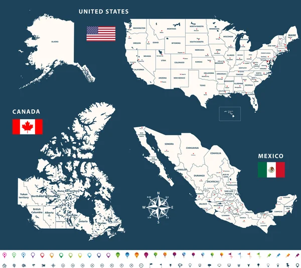
Maps Of Canada, United States And Mexico With Flags And Location\navigation Icons.
Vector, 10.24MB, 7294 × 6485 eps
The Ex-monastery Of Santiago Apstol. The Ancient Monastery Is Located In The Town Of Cuilapam De Guerrero In The Mexican State Of Oaxaca. Some Locals Walking In Front Of The Complex.
Image, 21.86MB, 6144 × 4096 jpg
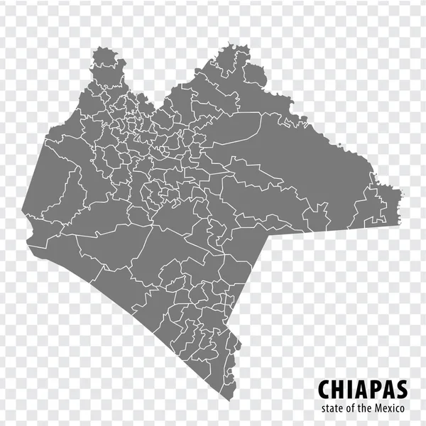
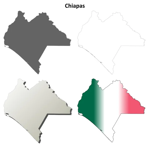
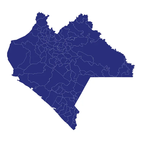
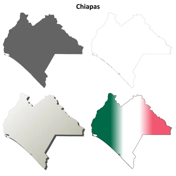
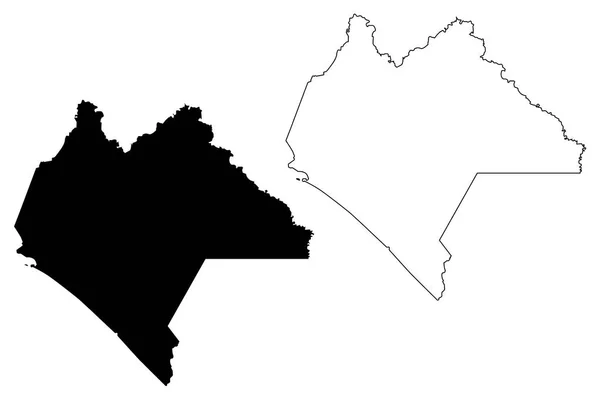
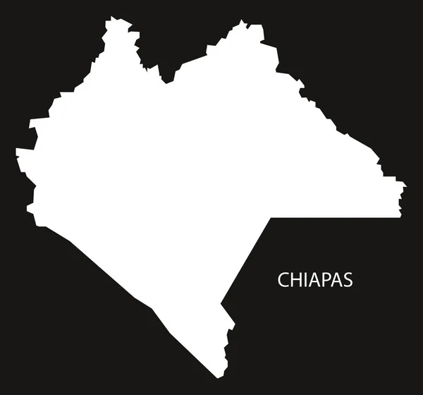
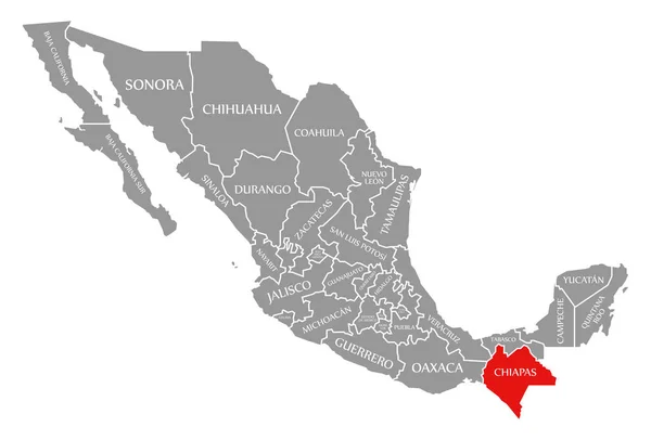
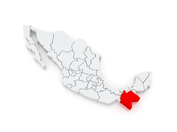
State Chiapas Of Mexico Map On Transparent Background. Blank Map Of Chiapas With Regions In Gray For Your Web Site Design, Logo, App, UI. Mexico. EPS10.
Vector, 3.37MB, 5000 × 5000 eps

Fresh Vegetable Street Market In San Cristbal De Las Casas, Chiapas, Mexico
Image, 10.82MB, 4912 × 3264 jpg

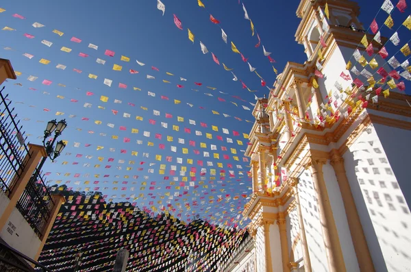
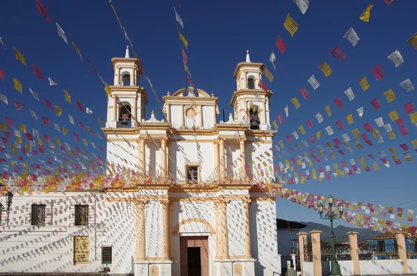
Palenque, Chiapas, Mexico. The Name Written By The City Of Palenque, Huge Colorful Letters On The Street.
Image, 7.13MB, 3872 × 2592 jpg


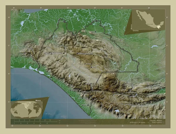
Chiapas, State Of Mexico. Elevation Map Colored In Wiki Style With Lakes And Rivers. Locations And Names Of Major Cities Of The Region. Corner Auxiliary Location Maps
Image, 10.96MB, 4930 × 3770 jpg
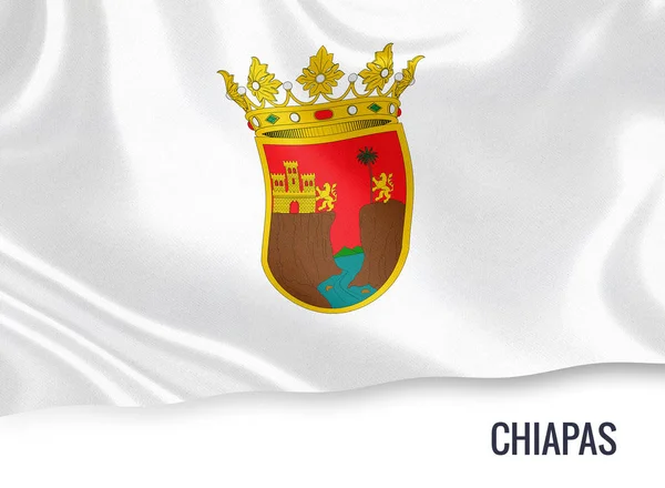
Mexican State Chiapas Flag Waving On An Isolated White Background. State Name Is Included Below The Flag. 3D Rendering.
Image, 9.51MB, 5000 × 3667 jpg
Page 1 >> Next