
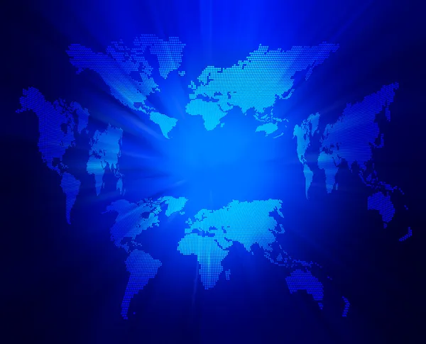
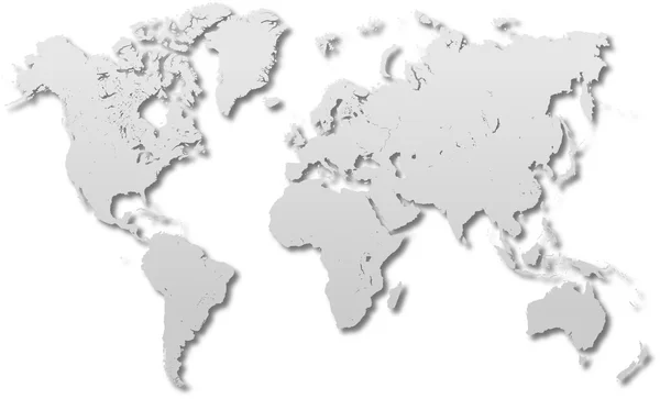
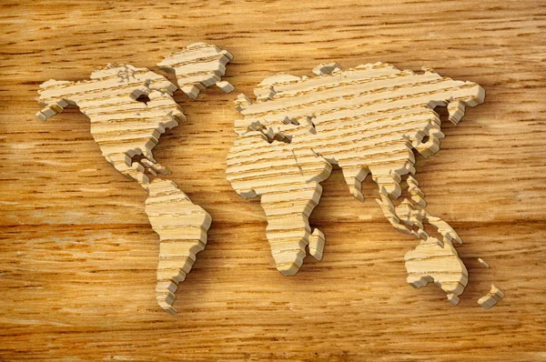
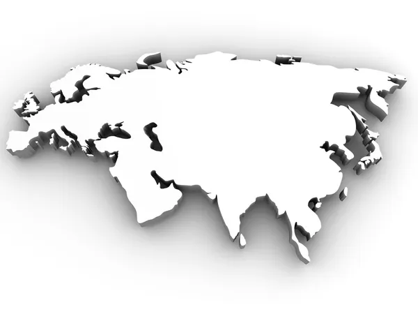
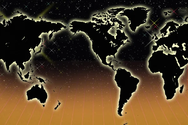
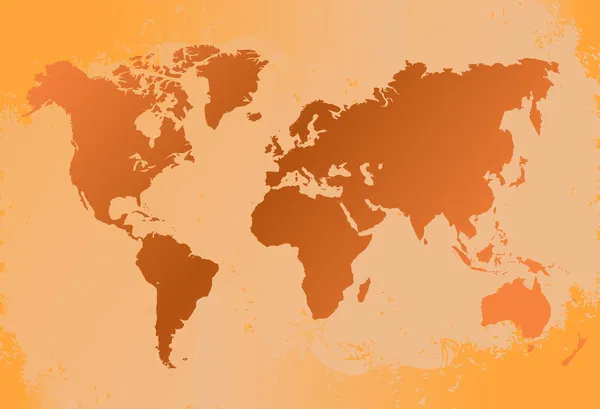
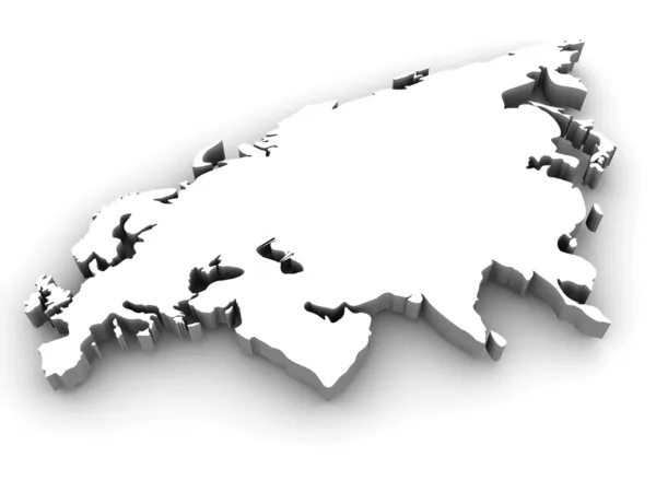
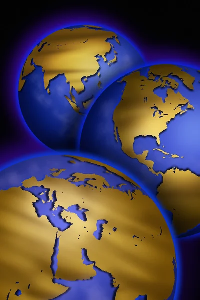
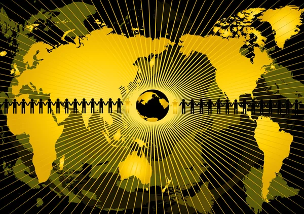
Stock image Continental Maps

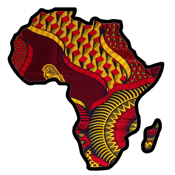
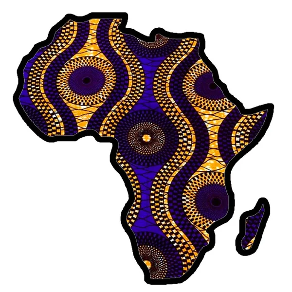
Map Of Africa Great Gift For Travelers And Nomads. Great Gift For African Art Lovers, Kwanzaa, Black History Month, And Juneteenth. Great Geographic Gift.
Image, 1.77MB, 7000 × 7000 jpg
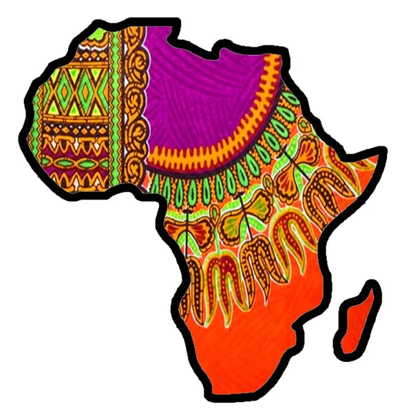
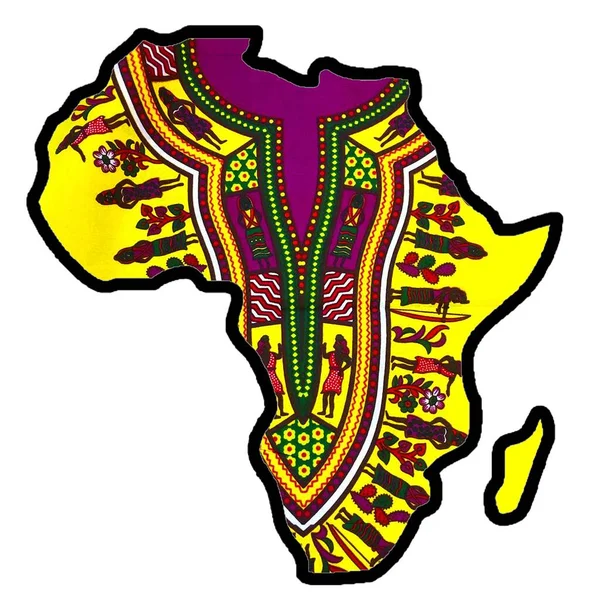
Map Of Africa Great Gift For Travelers And Nomads. Great Gift For African Art Lovers, Kwanzaa, Black History Month, And Juneteenth. Great Geographic Gift.
Image, 1.79MB, 7000 × 7000 jpg
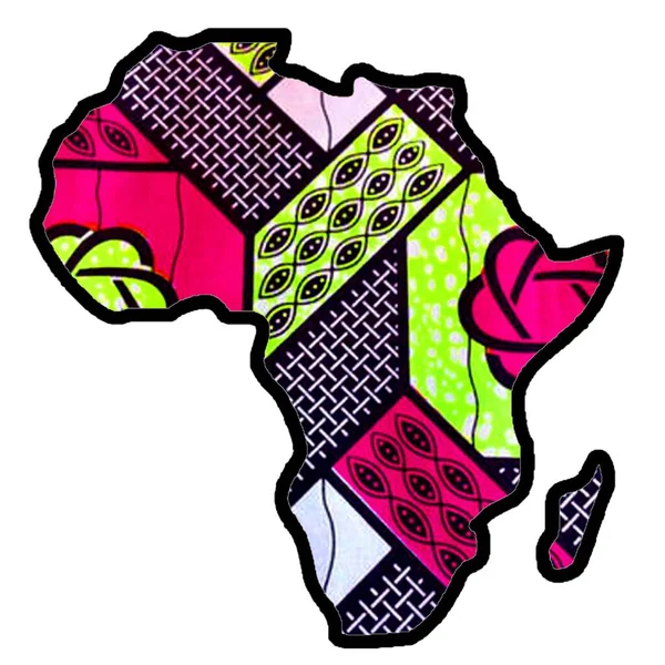
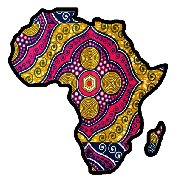
Map Of Africa Great Gift For Travelers And Nomads. Great Gift For African Art Lovers, Kwanzaa, Black History Month, And Juneteenth. Great Geographic Gift.
Image, 1.61MB, 7000 × 7000 jpg
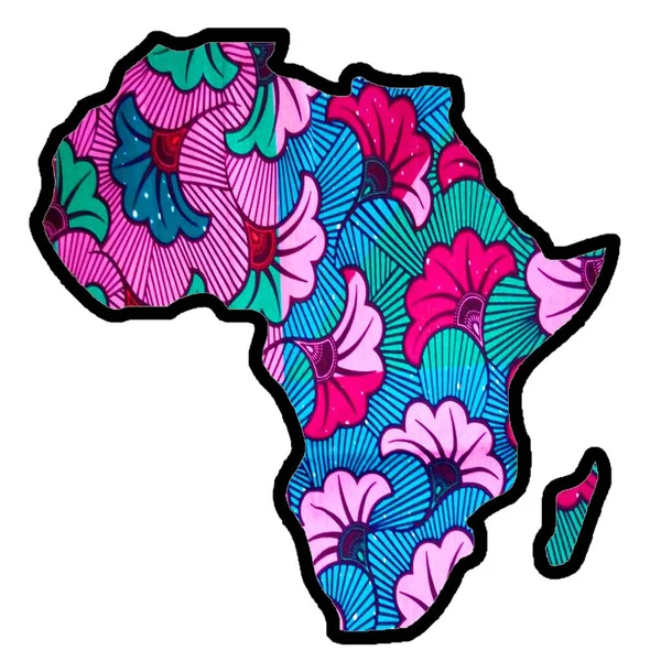
Map Of Africa Great Gift For Travelers And Nomads. Great Gift For African Art Lovers, Kwanzaa, Black History Month, And Juneteenth. Great Geographic Gift.
Image, 1.54MB, 7000 × 7000 jpg
Map Of Africa Great Gift For Travelers And Nomads. Great Gift For African Art Lovers, Kwanzaa, Black History Month, And Juneteenth. Great Geographic Gift.
Image, 1.81MB, 7000 × 7000 jpg
Map Of Africa Great Gift For Travelers And Nomads. Great Gift For African Art Lovers, Kwanzaa, Black History Month, And Juneteenth. Great Geographic Gift.
Image, 1.73MB, 7000 × 7000 jpg
Map Of Africa Great Gift For Travelers And Nomads. Great Gift For African Art Lovers, Kwanzaa, Black History Month, And Juneteenth. Great Geographic Gift.
Image, 1.8MB, 7000 × 7000 jpg
Map Of Africa Great Gift For Travelers And Nomads. Great Gift For African Art Lovers, Kwanzaa, Black History Month, And Juneteenth. Great Geographic Gift.
Image, 1.86MB, 7000 × 7000 jpg


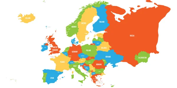
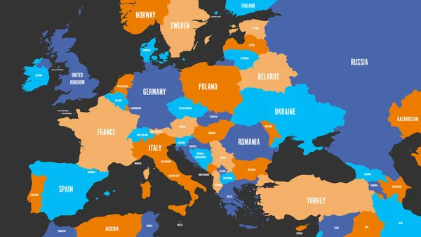
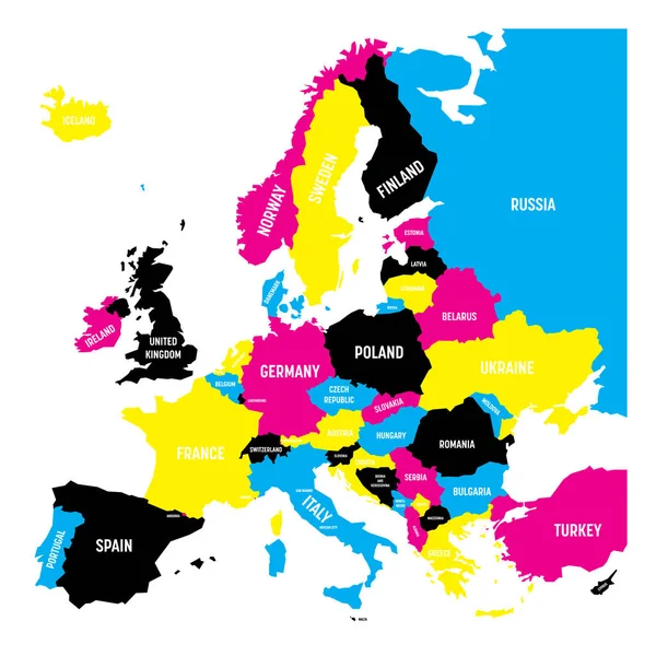
Political Map Of Europe Continent In Four Colors With White Country Name Labels And Isolated On White Background. Vector Illustration
Vector, 1.04MB, 6000 × 3000 eps

Political Map Of Europe Continent In Four Shades Of Turquoise Blue With White Country Name Labels And Isolated On White Background. Vector Illustration
Vector, 1.04MB, 6000 × 3000 eps
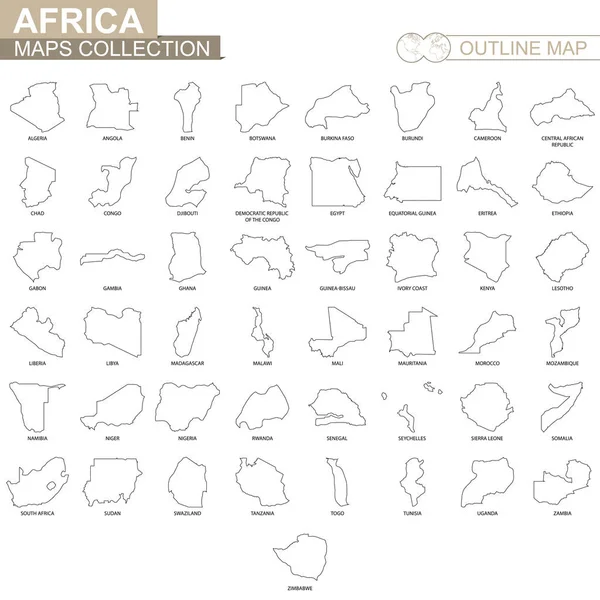
Outline Maps Of African Countries Collection, Black Lined Vector Map.
Vector, 2.04MB, 5000 × 5000 eps
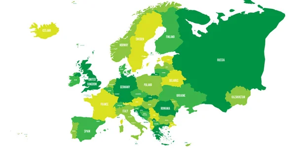
Political Map Of Europe Continent In Four Shades Of Green With White Country Name Labels And Isolated On White Background. Vector Illustration
Vector, 1.04MB, 6000 × 3000 eps

Political Map Of Europe Continent In Four Colors With White Country Name Labels And Isolated On White Background. Vector Illustration
Vector, 1.05MB, 6000 × 3000 eps

Political Map Of Europe Continent In Four Colors With White Country Name Labels And Isolated On White Background. Vector Illustration
Vector, 1.04MB, 6000 × 3000 eps
Political Map Of Europe Continent In Four Colors With White Country Name Labels. Vector Illustration
Vector, 1.54MB, 6000 × 3375 eps

Political Map Of Europe Continent In Four Shades Of Turquoise Blue With White Country Name Labels And Isolated On White Background. Vector Illustration
Vector, 0.52MB, 6000 × 6000 eps
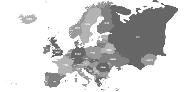
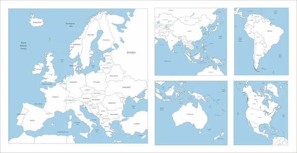
Political Map Of Europe Continent In Four Shades Of Grey. With Whole European Part Of Russia And Kazakhstan. Vector Illustration
Vector, 0.97MB, 6000 × 3000 eps
Political Map Of Europe Continent In CMYK Colors Isolated On White Background. Vector Illustration
Vector, 0.52MB, 6000 × 6000 eps

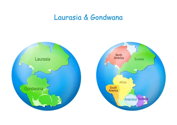
Globe With Laurasia And Gondwana, Continental Borders, And Ocean Tethys. Gondwana And Laurasia Formed The Pangaea Supercontinent. Maps. Continental Drift Theory. Planet Earth Millions Years Ago. Vector Illustration For Education
Vector, 9.21MB, 5000 × 3547 eps
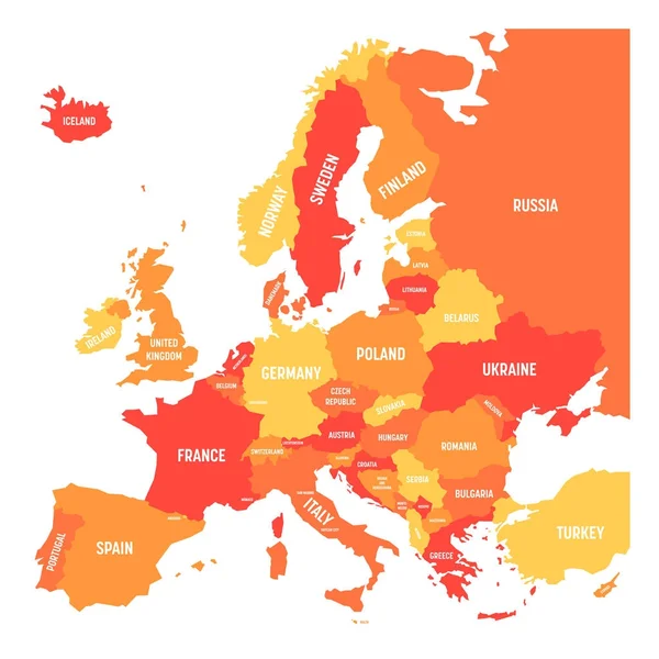
Political Map Of Europe Continent In Four Shades Of Orange With White Country Name Labels And Isolated On White Background. Vector Illustration
Vector, 0.52MB, 6000 × 6000 eps


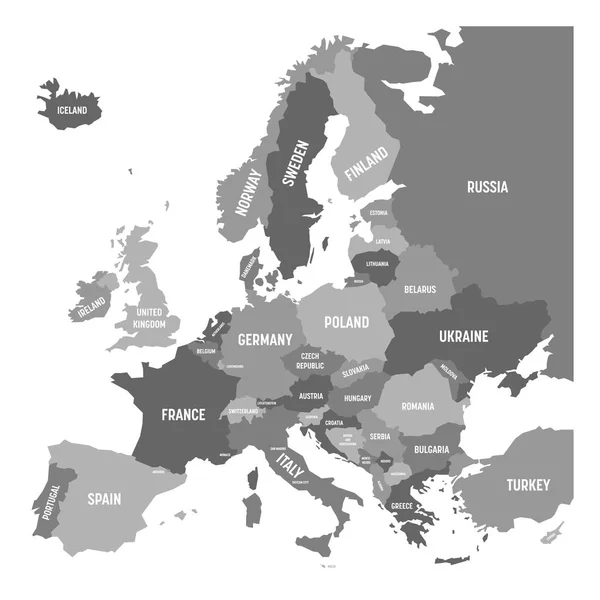
Political Map Of Europe Continent In Four Shades Of Grey With White Country Name Labels And Isolated On White Background. Vector Illustration
Vector, 0.51MB, 6000 × 6000 eps


Page 1 >> Next