
Stock image Contour Maps page 2
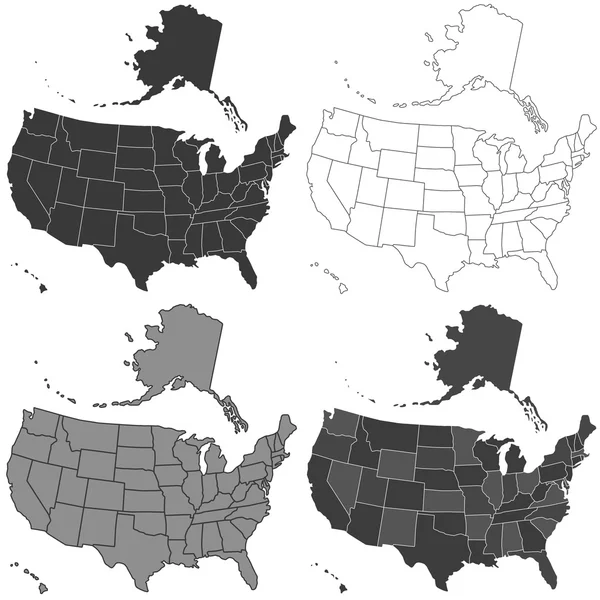

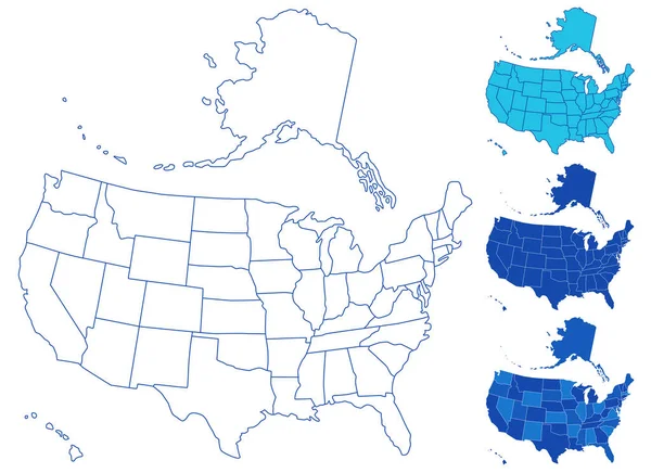
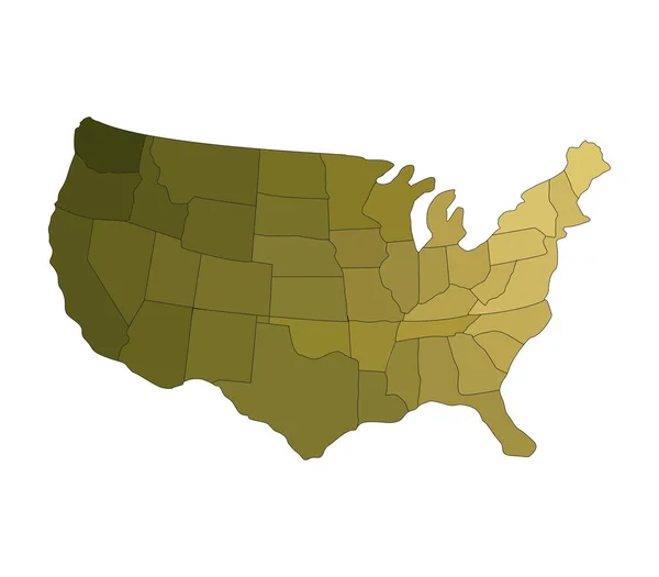
Map Of The United States Of America (USA) With Colorful States Illustration On White Background
Vector, 1.39MB, 7501 × 5834 eps
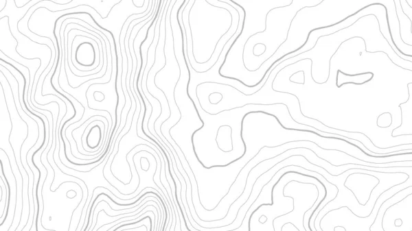
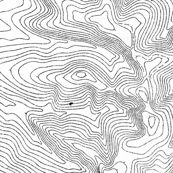
Grey Contours Vector Topography. Geographic Mountain Topography Vector Illustration. Topographic Pattern Texture. Map On Land Vector Terrain. Elevation Graphic Contour Height Lines. Topographic Map
Vector, 1.15MB, 6756 × 3800 eps


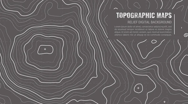
Abstract Topographic Map Lines Background, Fashion Pattern Lines Or Texture
Vector, 2.22MB, 9922 × 4961 eps

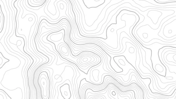
Grey Contours Vector Topography. Geographic Mountain Topography Vector Illustration. Topographic Pattern Texture. Map On Land Vector Terrain. Elevation Graphic Contour Height Lines. Topographic Map
Vector, 1.81MB, 6756 × 3800 eps


Valle Del Cauca, Department Of Colombia. Open Street Map. Locations Of Major Cities Of The Region. Corner Auxiliary Location Maps
Image, 4.71MB, 4930 × 3770 jpg
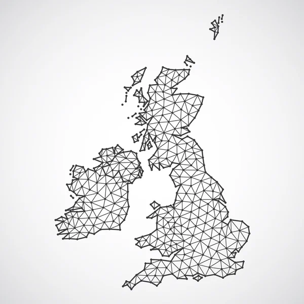
Polygonal British Islands Maps. Map Of United Kingdom And Ireland In Low Poly Style. Country Map In Geometric Style For Your Infographics
Vector, 0.81MB, 4000 × 4000 eps


Flag Of Japan On Map And Map With Regional Division. Vector Illustration
Vector, 9.3MB, 6000 × 2000 eps


Nagorno Karabakh - Maps Collection. Six Maps Of Different Designs. Set Of Vector Illustrations
Vector, 2.28MB, 8255 × 6751 eps
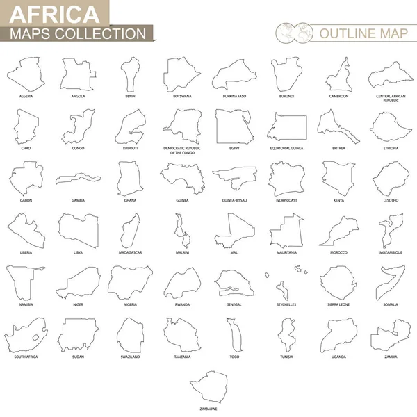
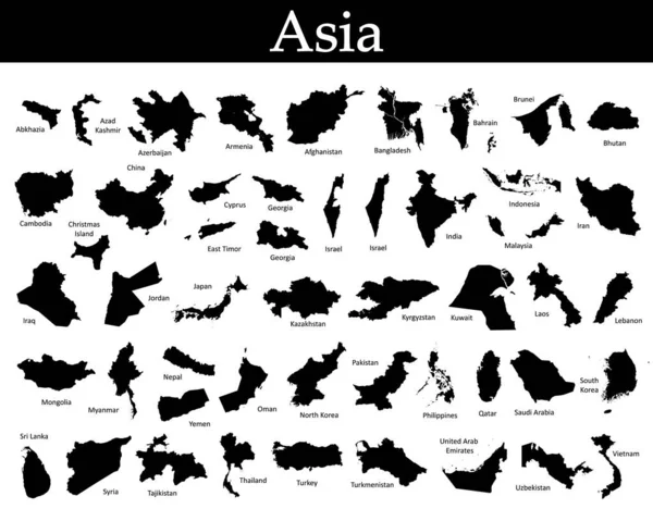
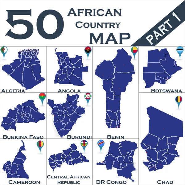
Outline Maps Of African Countries Collection, Black Lined Vector Map.
Vector, 2.04MB, 5000 × 5000 eps
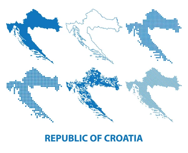
Map Of Republic Of Croatia - Vector Set Of Silhouettes In Different Patterns
Vector, 1.33MB, 5896 × 4808 eps
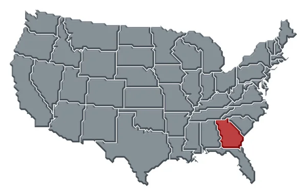
Political Map Of United States With The Several States Where Georgia Is Highlighted.
Image, 0MB, 6339 × 4055 jpg
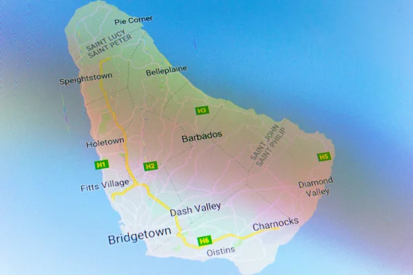
Ryazan, Russia - July 08, 2018: Country Of Barbados On The Google Maps Service
Image, 21.66MB, 5184 × 3456 jpg
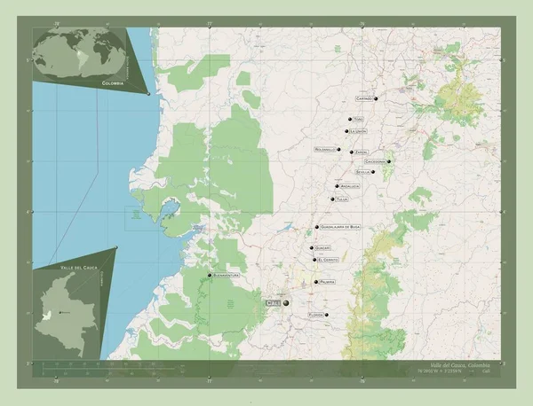
Valle Del Cauca, Department Of Colombia. Open Street Map. Locations And Names Of Major Cities Of The Region. Corner Auxiliary Location Maps
Image, 4.84MB, 4930 × 3770 jpg

Vintage Contour Mapping. Natural Printing Illustrations Of Maps. Ancient Cartography.
Image, 4.41MB, 3000 × 3000 jpg


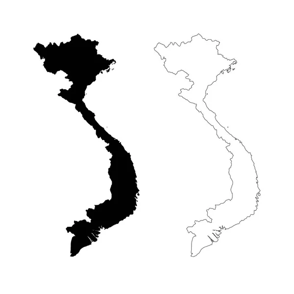
Vector Map Vietnam. Isolated Vector Illustration. Black On White Background. EPS 10 Illustration.
Vector, 0.57MB, 5000 × 5000 eps

Ryazan, Russia - July 08, 2018: Country Of Argentina On The Google Maps Service
Image, 16.38MB, 5184 × 3456 jpg

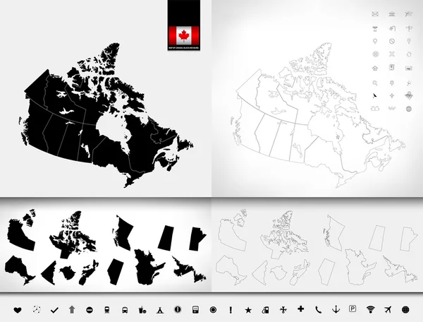
Political Map Of Canada With The Several Provinces Where Ontario Is Highlighted.
Image, 0MB, 6575 × 5630 jpg

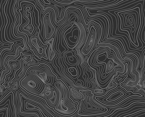
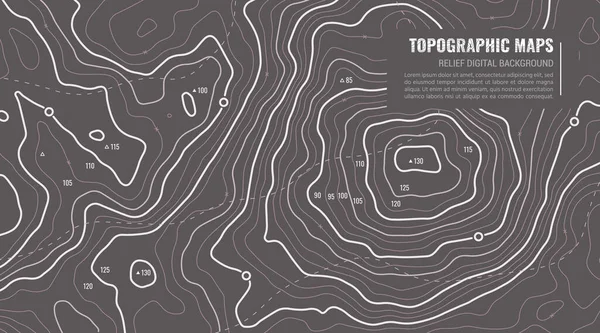
Black Background Of The Topographic Map. Topographic Map White Lines, Contour Background. Geographic Grid, Vector Abstract.
Vector, 1.81MB, 4000 × 3223 eps
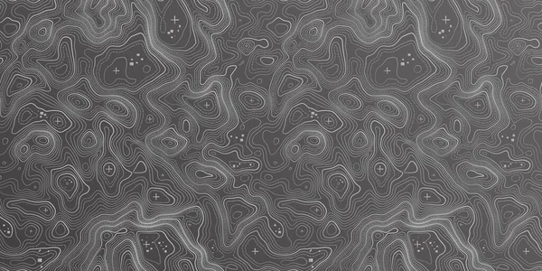
Grey Contours Vector Topography. Geographic Mountain Topography Vector Illustration. Topographic Pattern Texture. Map On Land Vector Terrain. Elevation Graphic Contour Height Lines. Topographic Map
Vector, 9.1MB, 7600 × 3800 eps


Previous << Page 2 >> Next