photo free
Home Images Vectors Videos

Stock image Desoto Map

stock vector map of the city of Memphis , Mississippi, USA

Map Of The City Of Memphis , Mississippi, USA

Vector, 9.73MB, 4959 × 6939 eps
stock vector map of the city of Memphis , Mississippi, USA

Map Of The City Of Memphis , Mississippi, USA

Vector, 11.63MB, 5975 × 4862 eps
stock vector map of the city of Memphis , Mississippi, USA

Map Of The City Of Memphis , Mississippi, USA

Vector, 3.29MB, 6132 × 4091 eps
stock vector Mississippi, U.S. state, political map with borders and county names. State in the Southeastern region of the United States, subdivided into 82 counties. Nicknamed The Magnolia and Hospitality State.

Mississippi, U.S. State, Political Map With Borders And County Names. State In The Southeastern Region Of The United States, Subdivided Into 82 Counties. Nicknamed The Magnolia And Hospitality State.

Vector, 2.85MB, 6000 × 8999 eps
stock vector Detailed infographic and map of DeSoto County in Florida USA.

Detailed Infographic And Map Of DeSoto County In Florida USA.

Vector, 1.44MB, 5000 × 4000 ai
stock vector Mississippi, U.S. state, gray political map with borders and county names. State in the Southeastern region of United States, subdivided into 82 counties. Nicknamed The Magnolia and Hospitality State.

Mississippi, U.S. State, Gray Political Map With Borders And County Names. State In The Southeastern Region Of United States, Subdivided Into 82 Counties. Nicknamed The Magnolia And Hospitality State.

Vector, 2.09MB, 5952 × 9000 eps
stock vector Large and detailed map of DeSoto County in Florida USA.

Large And Detailed Map Of DeSoto County In Florida USA.

Vector, 1.62MB, 5000 × 3200 ai
stock vector Map of DeSoto County in Florida, USA arranged in a circle.

Map Of DeSoto County In Florida, USA Arranged In A Circle.

Vector, 0.3MB, 5000 × 5000 ai
stock vector Mississippi, U.S. state, subdivided into 82 counties, multi colored political map with capital Jackson, borders and county names. State in the Southeastern region of USA, nicknamed The Magnolia State.

Mississippi, U.S. State, Subdivided Into 82 Counties, Multi Colored Political Map With Capital Jackson, Borders And County Names. State In The Southeastern Region Of USA, Nicknamed The Magnolia State.

Vector, 2.11MB, 5952 × 9000 eps
stock vector Large and accurate map of DeSoto County, Florida, USA with vintage colors.

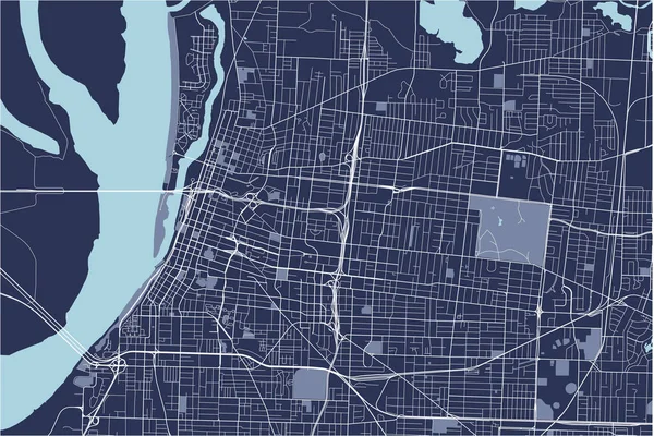
Large And Accurate Map Of DeSoto County, Florida, USA With Vintage Colors.

Vector, 2.61MB, 4500 × 4501 ai
stock vector Large and detailed map of DeSoto County in Florida, USA.

Large And Detailed Map Of DeSoto County In Florida, USA.

Vector, 1.42MB, 5000 × 3200 ai
Page 1 >> Next