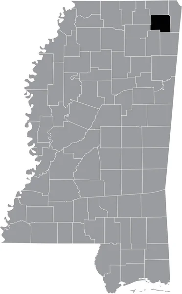
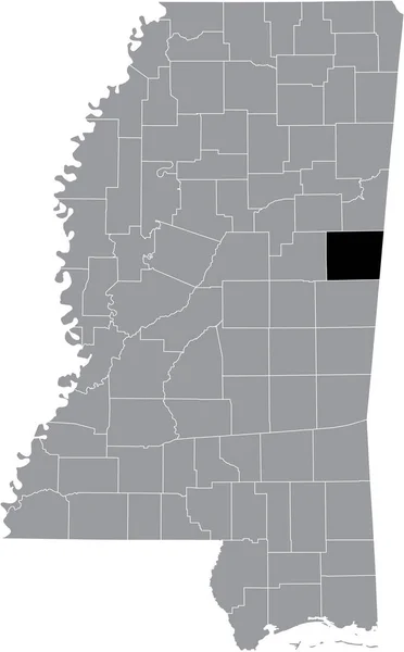
Stock vector Mississippi, U.S. state, political map with borders and county names. State in the Southeastern region of the United States, subdivided into 82 counties. Nicknamed The Magnolia and Hospitality State.

Published: Aug.17, 2024 10:53:03
Author: Furian
Views: 0
Downloads: 0
File type: vector / eps
File size: 2.85 MB
Orginal size: 6000 x 8999 px
Available sizes:
Level: silver