photo free
Home Images Vectors Videos

Stock image Earth Shaw

stock image Penumbral lunar eclipse 2020 stages.The phases of a Penumbral lunar eclipse 'Strawberry Moon'from earth. Super Earth Moon.

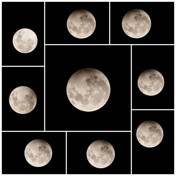
Penumbral Lunar Eclipse 2020 Stages.The Phases Of A Penumbral Lunar Eclipse 'Strawberry Moon'from Earth. Super Earth Moon.

Image, 0.58MB, 4093 × 4093 jpg
stock image Early spring

Early Spring

Image, 7.16MB, 2288 × 3538 jpg
stock image Early spring

Early Spring

Image, 10.48MB, 3000 × 4575 jpg
stock image Spring flood

Spring Flood

Image, 5.76MB, 3927 × 1600 jpg
stock image Plowed field

Plowed Field

Image, 8.12MB, 2000 × 3021 jpg
stock image Shaw Island in the The Coastal Waters of Southeast Alaska and British Columbia on a topographic, OSM Humanitarian style map

Shaw Island In The The Coastal Waters Of Southeast Alaska And British Columbia On A Topographic, OSM Humanitarian Style Map

Image, 2.33MB, 2880 × 1620 jpg
stock image A collection of tall, slender blades of grass, standing vertically in close proximity, exhibiting harmony and unity within their lush green environment.

A Collection Of Tall, Slender Blades Of Grass, Standing Vertically In Close Proximity, Exhibiting Harmony And Unity Within Their Lush Green Environment.

Image, 29.01MB, 2395 × 8256 jpg
stock image Shaw Island in the The Coastal Waters of Southeast Alaska and British Columbia, belonging to United States, isolated on a topographic, OSM Humanitarian style map, with distance scale

Shaw Island In The The Coastal Waters Of Southeast Alaska And British Columbia, Belonging To United States, Isolated On A Topographic, OSM Humanitarian Style Map, With Distance Scale

Image, 0.58MB, 2160 × 2160 jpg
stock image Shaw Island in the The Coastal Waters of Southeast Alaska and British Columbia - belonging to United States. Described location diagram with yellow shape of the island and sample maps of its surroundings

Shaw Island In The The Coastal Waters Of Southeast Alaska And British Columbia - Belonging To United States. Described Location Diagram With Yellow Shape Of The Island And Sample Maps Of Its Surroundings

Image, 3.15MB, 3840 × 2160 jpg
stock image Shaw Island in the The Coastal Waters of Southeast Alaska and British Columbia, belonging to United States, isolated on a satellite image taken in May 25, 2023, with distance scale

Shaw Island In The The Coastal Waters Of Southeast Alaska And British Columbia, Belonging To United States, Isolated On A Satellite Image Taken In May 25, 2023, With Distance Scale

Image, 1.37MB, 2160 × 2160 jpg
stock image Shaw Island in the The Coastal Waters of Southeast Alaska and British Columbia on a colored elevation map

Shaw Island In The The Coastal Waters Of Southeast Alaska And British Columbia On A Colored Elevation Map

Image, 1.66MB, 2880 × 1620 jpg
stock image Shaw Island in the The Coastal Waters of Southeast Alaska and British Columbia, belonging to United States, isolated on a bilevel elevation map, with distance scale

Shaw Island In The The Coastal Waters Of Southeast Alaska And British Columbia, Belonging To United States, Isolated On A Bilevel Elevation Map, With Distance Scale

Image, 0.33MB, 2160 × 2160 jpg
stock image Shaw Island in the The Coastal Waters of Southeast Alaska and British Columbia on a satellite image taken in August 13, 2023

Shaw Island In The The Coastal Waters Of Southeast Alaska And British Columbia On A Satellite Image Taken In August 13, 2023

Image, 5.55MB, 2880 × 1620 jpg
Page 1 >> Next