photo free
Home Images Vectors Videos

Stock image Shaw Island in the The Coastal Waters of Southeast Alaska and British Columbia on a satellite image taken in August 13, 2023

Stock image Shaw Island in the The Coastal Waters of Southeast Alaska and British Columbia on a satellite image taken in August 13, 2023
Published: Sep.11, 2024 14:54:22
Author: zelwanka
Views: 0
Downloads: 0
File type: image / jpg
File size: 5.55 MB
Orginal size: 2880 x 1620 px
Available sizes:
S
(500 x 281)
M
(1000 x 563)
L
(2000 x 1125)
XL
(2880 x 1620)
EL0
(2880 x 1620)
Level: beginner
Download Image
Image topics:

Similar stock images

stock image Tartu, county of Estonia. Satellite imagery. Shape outlined against its country area. 3D rendering

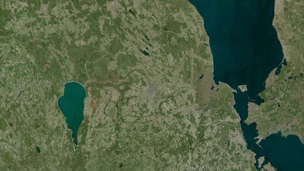
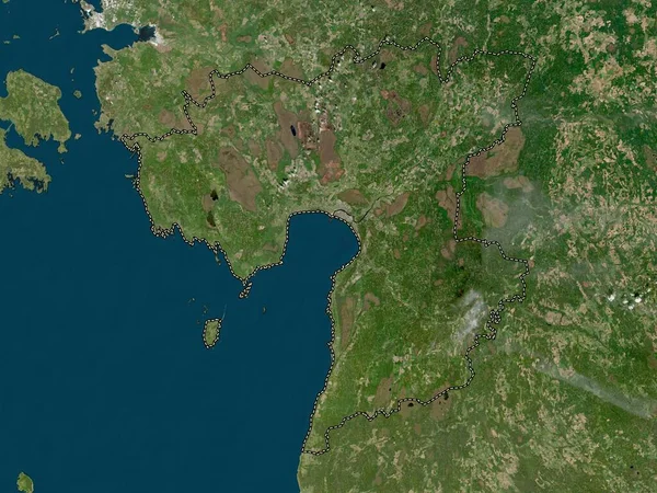
Tartu, County Of Estonia. Satellite Imagery. Shape Outlined Against Its Country Area. 3D Rendering

2880 × 1620
stock image Laane, county of Estonia. Low resolution satellite map

Laane, County Of Estonia. Low Resolution Satellite Map

3840 × 2880
stock image Biombo, region of Guinea-Bissau. Satellite imagery. Shape outlined against its country area. 3D rendering

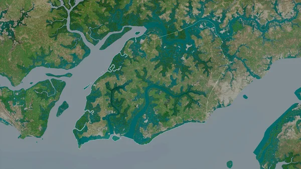
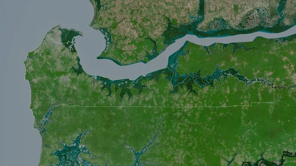
Biombo, Region Of Guinea-Bissau. Satellite Imagery. Shape Outlined Against Its Country Area. 3D Rendering

2880 × 1620
stock image Oslo, county of Norway. High resolution satellite map

Oslo, County Of Norway. High Resolution Satellite Map

3840 × 2880
stock image Parnu, county of Estonia. Low resolution satellite map

Parnu, County Of Estonia. Low Resolution Satellite Map

3840 × 2880
stock image Western, division of Gambia. Satellite imagery. Shape outlined against its country area. 3D rendering

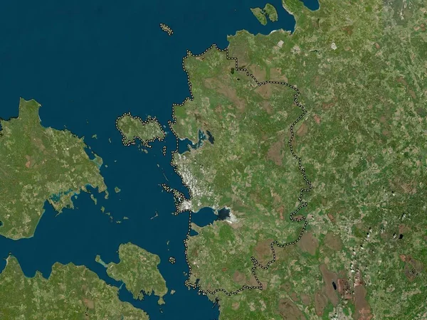
Western, Division Of Gambia. Satellite Imagery. Shape Outlined Against Its Country Area. 3D Rendering

2880 × 1620
stock image Minnesota, state of United States. Satellite imagery. Shape outlined against its country area. 3D rendering

Minnesota, State Of United States. Satellite Imagery. Shape Outlined Against Its Country Area. 3D Rendering

2880 × 1620
stock image Friesland, province of Netherlands. High resolution satellite map

Friesland, Province Of Netherlands. High Resolution Satellite Map

3840 × 2880