photo free
Home Images Vectors Videos

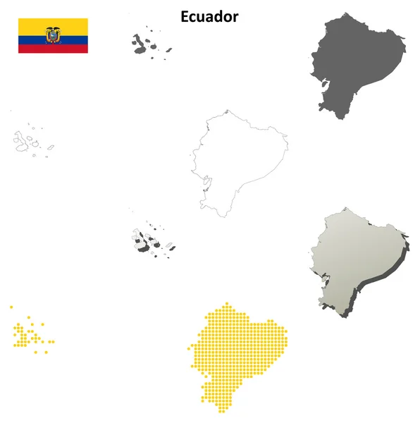
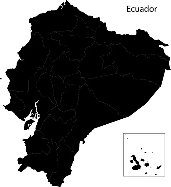
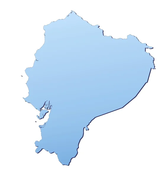
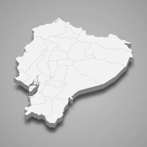
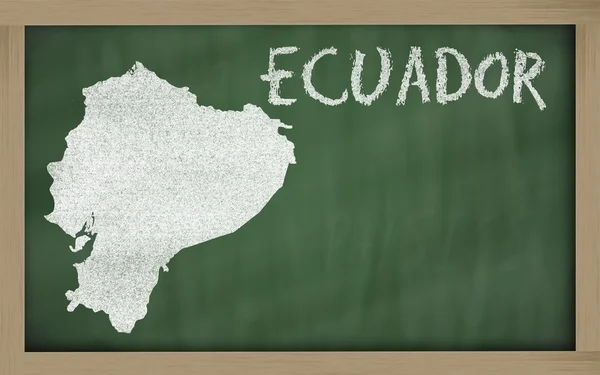
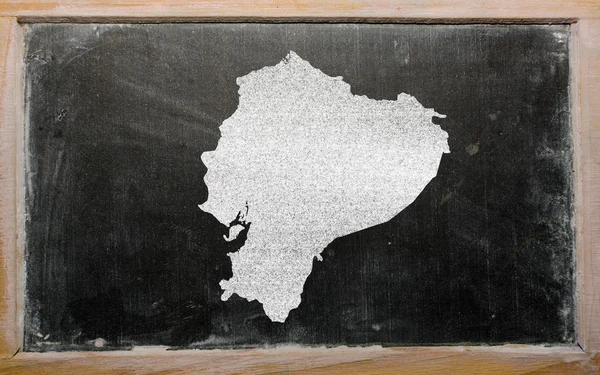
Stock image Ecuador Boundary

stock vector Ecuador blank detailed outline map set

Ecuador Blank Detailed Outline Map Set

Vector, 3.86MB, 5034 × 5066 eps
stock vector Ecuador map

Ecuador Map

Vector, 3.25MB, 4765 × 5205 eps
stock vector Green Ecuador map

Green Ecuador Map

Vector, 3.25MB, 4764 × 5204 eps
stock vector Map of ecuador

Map Of Ecuador

Vector, 0.42MB, 4736 × 3378 ai
stock vector Map of ecuador

Map Of Ecuador

Vector, 0.23MB, 4735 × 3378 ai
stock vector Ecuador map

Ecuador Map

Vector, 9.08MB, 7000 × 7000 eps
stock vector Map of ecuador

Map Of Ecuador

Vector, 0.74MB, 4734 × 3378 ai
stock image Vintage paper map of Ecuador

Vintage Paper Map Of Ecuador

Image, 3.67MB, 3216 × 2848 jpg
stock image Vintage paper map of Ecuador

Vintage Paper Map Of Ecuador

Image, 8.59MB, 3216 × 2848 jpg
stock vector Black Ecuador map

Black Ecuador Map

Vector, 2.94MB, 4763 × 5202 eps
stock vector Map of ecuador

Map Of Ecuador

Vector, 0.36MB, 3896 × 4225 ai
stock vector Map of ecuador

Map Of Ecuador

Vector, 1.53MB, 3419 × 4680 ai
stock image Map of Ecuador with waving flag isolated on white

Map Of Ecuador With Waving Flag Isolated On White

Image, 1.62MB, 3216 × 2848 jpg
stock image Ecuador map

Ecuador Map

Image, 1.28MB, 3273 × 3513 jpg
stock image Vintage map of Ecuador on grunge paper

Vintage Map Of Ecuador On Grunge Paper

Image, 9.22MB, 3216 × 2848 jpg
stock vector ballotbox Ecuador

Ballotbox Ecuador

Vector, 3.24MB, 5906 × 5906 eps
stock image IPIALES, COLOMBIA - JULY 4, 2016: some cars driving trough the migration checkpoint in the border line between colombia and ecuador

IPIALES, COLOMBIA - JULY 4, 2016: Some Cars Driving Trough The Migration Checkpoint In The Border Line Between Colombia And Ecuador

Image, 3.82MB, 3877 × 2578 jpg
stock vector Ecuador provinces maps

Ecuador Provinces Maps

Vector, 13.06MB, 6000 × 4636 eps
stock vector Grey Ecuador map

Grey Ecuador Map

Vector, 3.08MB, 4765 × 5205 eps
stock vector Contour Ecuador map

Contour Ecuador Map

Vector, 3.07MB, 4765 × 5205 eps
stock image Ecuador map

Ecuador Map

Image, 1.52MB, 3273 × 3513 jpg
stock image TULCAN, ECUADOR - Oct 15, 2017: Rumichaca International Bridge, Colombia x Ecuador border.

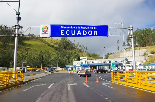
TULCAN, ECUADOR - Oct 15, 2017: Rumichaca International Bridge, Colombia X Ecuador Border.

Image, 9.72MB, 3264 × 2448 jpg
stock vector Satellite map of Quito, Ecuador, city streets. Street map, city center. South America

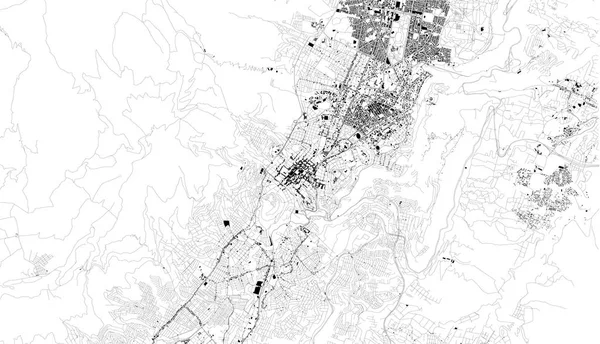
Satellite Map Of Quito, Ecuador, City Streets. Street Map, City Center. South America

Vector, 5.56MB, 6964 × 3995 eps
stock vector Map Ecuador

Map Ecuador

Vector, 2.96MB, 5906 × 5906 eps
stock vector Map of south america for your design

Map Of South America For Your Design

Vector, 0.56MB, 4444 × 4444 eps
stock vector Territory of South America continent. White background

Territory Of South America Continent. White Background

Vector, 1.19MB, 2802 × 3640 eps
stock vector Colorful Ecuador map

Colorful Ecuador Map

Vector, 2.95MB, 4765 × 5205 eps
stock vector South america countries maps icons

South America Countries Maps Icons

Vector, 3.99MB, 6000 × 4636 eps
stock vector Middle America political map

Middle America Political Map

Vector, 3.11MB, 8999 × 6982 eps
stock vector Ecuador regions map

Ecuador Regions Map

Vector, 8.16MB, 5000 × 5000 eps
stock vector 3d map of Ecuador with borders of regions

3d Map Of Ecuador With Borders Of Regions

Vector, 3.15MB, 4000 × 4000 eps
stock vector Ecuador region map blue with white outline and shadow on blue background Detailed map of Ecuador

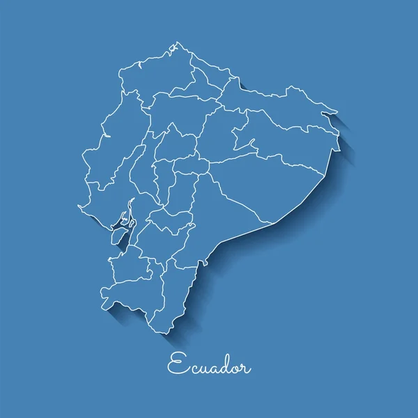
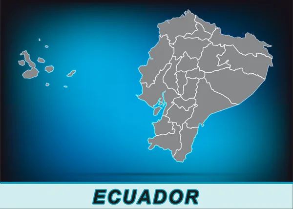
Ecuador Region Map Blue With White Outline And Shadow On Blue Background Detailed Map Of Ecuador

Vector, 1.99MB, 8333 × 8333 eps
stock image Sunny blue sky and flags of ireland and ecuador

Sunny Blue Sky And Flags Of Ireland And Ecuador

Image, 6.71MB, 5000 × 3333 jpg
stock image Sunny blue sky and flags of united nations and ecuador

Sunny Blue Sky And Flags Of United Nations And Ecuador

Image, 7.06MB, 5000 × 3333 jpg
stock image Outline map of ecuador on blackboard

Outline Map Of Ecuador On Blackboard

Image, 7.21MB, 4701 × 2939 jpg
stock image Hand making the V victory sign with flag of ecuador

Hand Making The V Victory Sign With Flag Of Ecuador

Image, 4.6MB, 4324 × 4324 jpg
stock image Ecuador torn flag on dark sky background.

Ecuador Torn Flag On Dark Sky Background.

Image, 9.42MB, 5000 × 3333 jpg
stock vector South America, gray political map with international borders and capitals. A continent, bordered by the Pacific and Atlantic Ocean, North America and the Caribbean Sea. Isolated illustration. Vector.

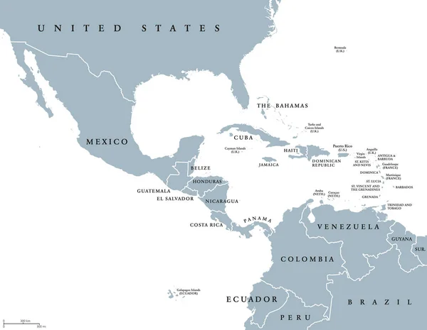
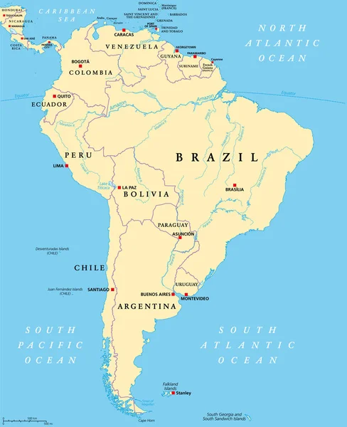
South America, Gray Political Map With International Borders And Capitals. A Continent, Bordered By The Pacific And Atlantic Ocean, North America And The Caribbean Sea. Isolated Illustration. Vector.

Vector, 3.89MB, 6000 × 7368 eps
stock image Barbed wire fence and flag of Ecuador - border concept - 3d illustration

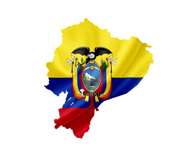
Barbed Wire Fence And Flag Of Ecuador - Border Concept - 3d Illustration

Image, 9.8MB, 6000 × 3500 jpg
stock image Spiral barbed wire and flag of Ecuador - 3d illustration

Spiral Barbed Wire And Flag Of Ecuador - 3d Illustration

Image, 24.21MB, 6000 × 4000 jpg
stock vector Ecuador round sign. Futuristic satelite view of the world centered to Ecuador. Country badge with map, round text and binary background. Appealing vector illustration.

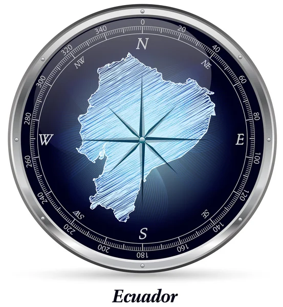
Ecuador Round Sign. Futuristic Satelite View Of The World Centered To Ecuador. Country Badge With Map, Round Text And Binary Background. Appealing Vector Illustration.

Vector, 3.59MB, 5488 × 5488 eps
stock vector South America geographical regions, multi colored political map. Four main regions of the continent, Caribbean South America, the Guianas, Andean States, Brazil and the Southern Cone of the continent.

South America Geographical Regions, Multi Colored Political Map. Four Main Regions Of The Continent, Caribbean South America, The Guianas, Andean States, Brazil And The Southern Cone Of The Continent.

Vector, 4.28MB, 6000 × 7368 eps
stock image Barbed wire fence and flag of Ecuador - 3d illustration

Barbed Wire Fence And Flag Of Ecuador - 3d Illustration

Image, 10.9MB, 6000 × 3500 jpg
stock vector South America, multi colored political map with international borders and capitals. Continent, bordered by the Pacific and Atlantic Ocean, North America and the Caribbean Sea. Isolated illustration.

South America, Multi Colored Political Map With International Borders And Capitals. Continent, Bordered By The Pacific And Atlantic Ocean, North America And The Caribbean Sea. Isolated Illustration.

Vector, 4.32MB, 6000 × 7368 eps
stock image Ecuador flag and barbed wire - 3d illustration

Ecuador Flag And Barbed Wire - 3d Illustration

Image, 22.07MB, 6000 × 4000 jpg
stock vector South America, political map with borders, capitals and the largest rivers. A continent, bordered by the Pacific and the Atlantic Ocean, by North America and the Caribbean Sea. Illustration. Vector.

South America, Political Map With Borders, Capitals And The Largest Rivers. A Continent, Bordered By The Pacific And The Atlantic Ocean, By North America And The Caribbean Sea. Illustration. Vector.

Vector, 6.47MB, 6000 × 7368 eps
stock vector Illustrated Country Shape of Ecuador

Illustrated Country Shape Of Ecuador

Vector, 0.46MB, 2222 × 2222 eps
stock vector Ecuador political map of administrative divisions - provinces. Shaded vector map with 3D-like blue gradient and name labels

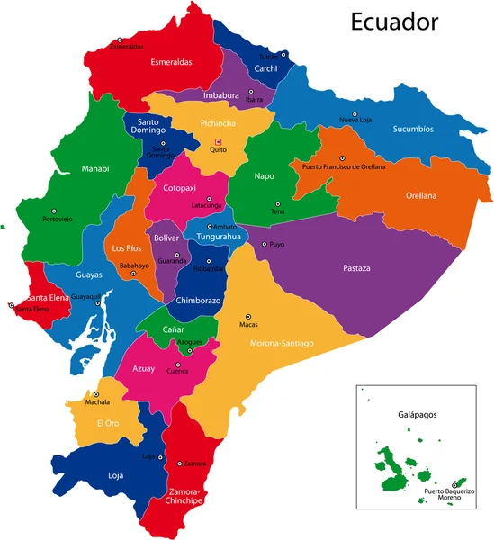
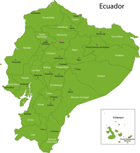
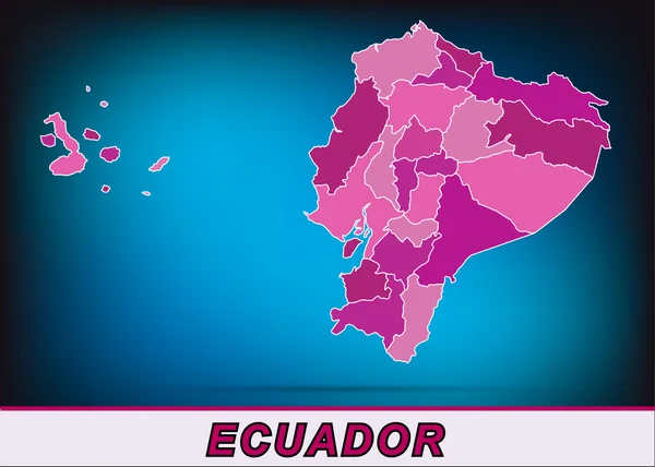
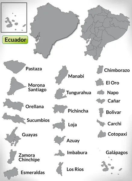
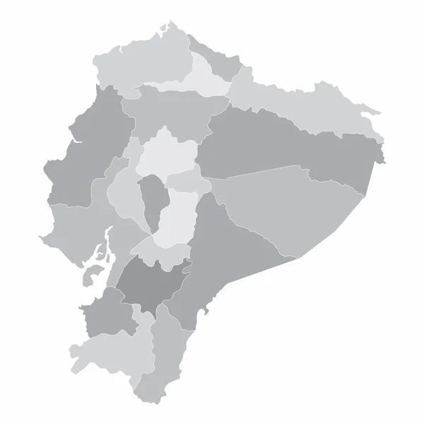
Ecuador Political Map Of Administrative Divisions - Provinces. Shaded Vector Map With 3D-like Blue Gradient And Name Labels

Vector, 0.4MB, 10000 × 6667 eps
stock image Outline map of ecuador on blackboard

Outline Map Of Ecuador On Blackboard

Image, 9.85MB, 4701 × 2939 jpg
Page 1 >> Next